Skip to content
  • January 26, 2023
  • +62 813 3961 9265
 
Twitter Facebook-f Whatsapp Instagram
  • English
  • Français
  • Bahasa Indonesia
MSDI
  • Home
  • Services
    • Our Services
    • Aerial Survey & 3D Mapping
    • LiDAR Mapping
    • Contours Lines
    • Rental
  • Industries
    • Civil Engineering
    • Oil & Gas
    • Mining and Quarry
    • Forestry
    • Transmission & Powerline
    • Infrastructures & Transportation
  • About
    • Who we are
    • Projects
    • Blog
    • Partnership & Job Vacancy
  • Contact

Tag: Aerial UAV Photogrammetry 3D Services

Aerial UAV Photogrammetry 3D Services Indonesia

  1. Home
  2. Tag Archives: Aerial UAV Photogrammetry 3D Services

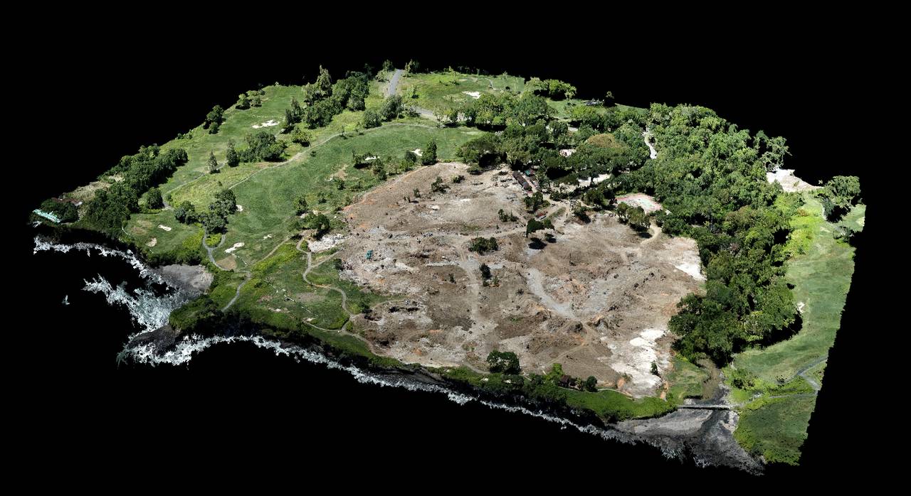
110ha Lidar and photogrammetry mapping in Cilegon – Banten

Our job here was to acquire 110ha with lidar and photogrammetry for a new construction site. The weather condition during the mission was very windy, so to keep everyone safe

Continue reading
Aerial Drone LiDAR Services Aerial UAV Photogrammetry 3D Services jawa barat minivux-1UAV Photogrammetry

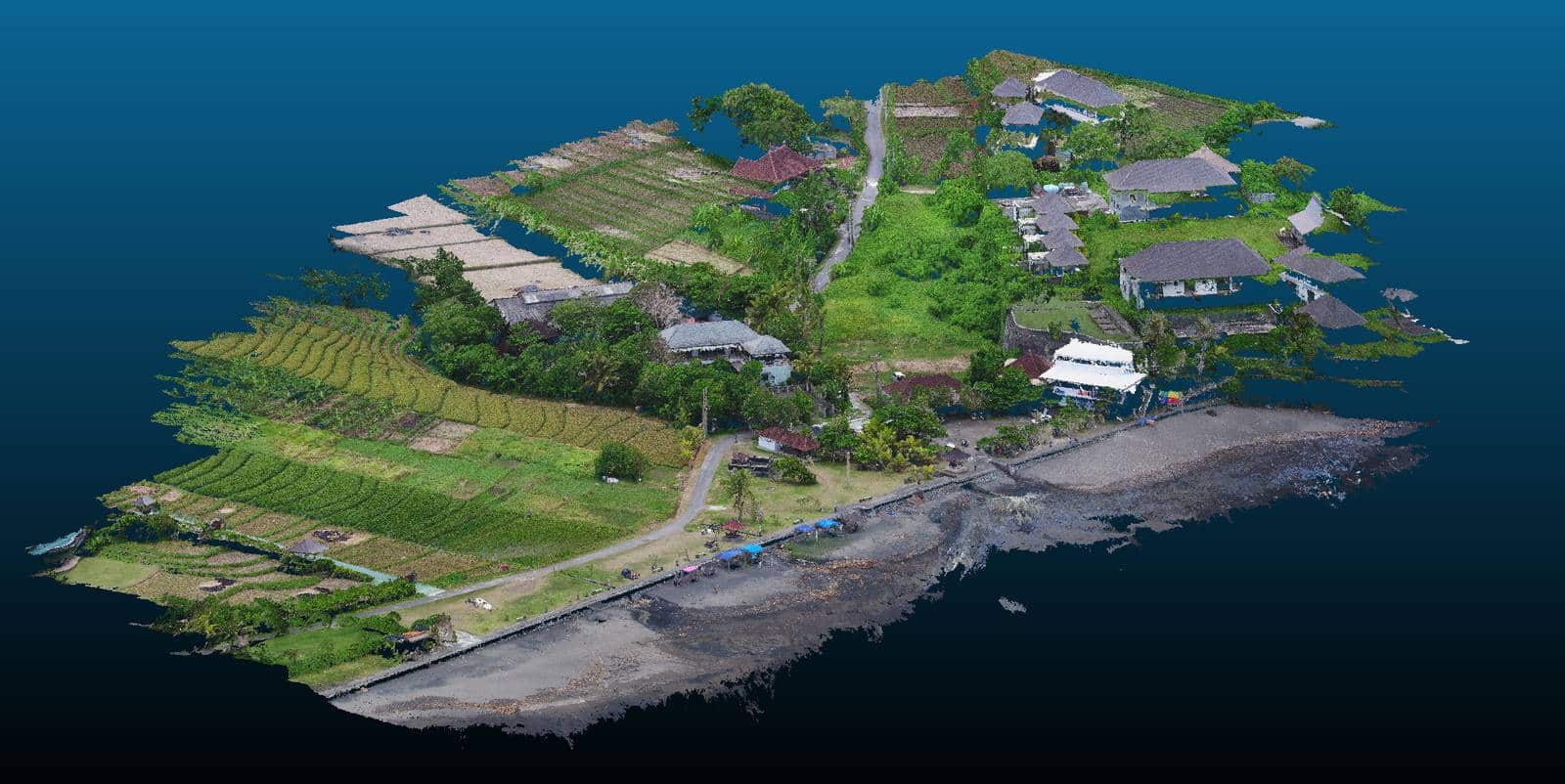
Front beach Photogrammetry in Tabanan – Bali

Fortunately, not all Bali investors have given up in the face of the Covid, and some of them are taking advantage of this somewhat quieter period to advance their projects.

Continue reading
Aerial Drone LiDAR Services Aerial UAV Photogrammetry 3D Services Java Timur lidar mapping lidar survey minivux-1UAV Photogrammetry

20Ha Lidar mapping in Surabaya – Java Timur

yellowscan vx-15 lidar surabaya java indonesia

It was fast but it was nice. We did a mapping of approximately 20Ha in the area of Surabaya this october. The project included the data acquisition by lidar and photogrammetry.

Continue reading
Aerial Drone LiDAR Services Aerial UAV Photogrammetry 3D Services Java Timur lidar mapping lidar survey minivux-1UAV Photogrammetry

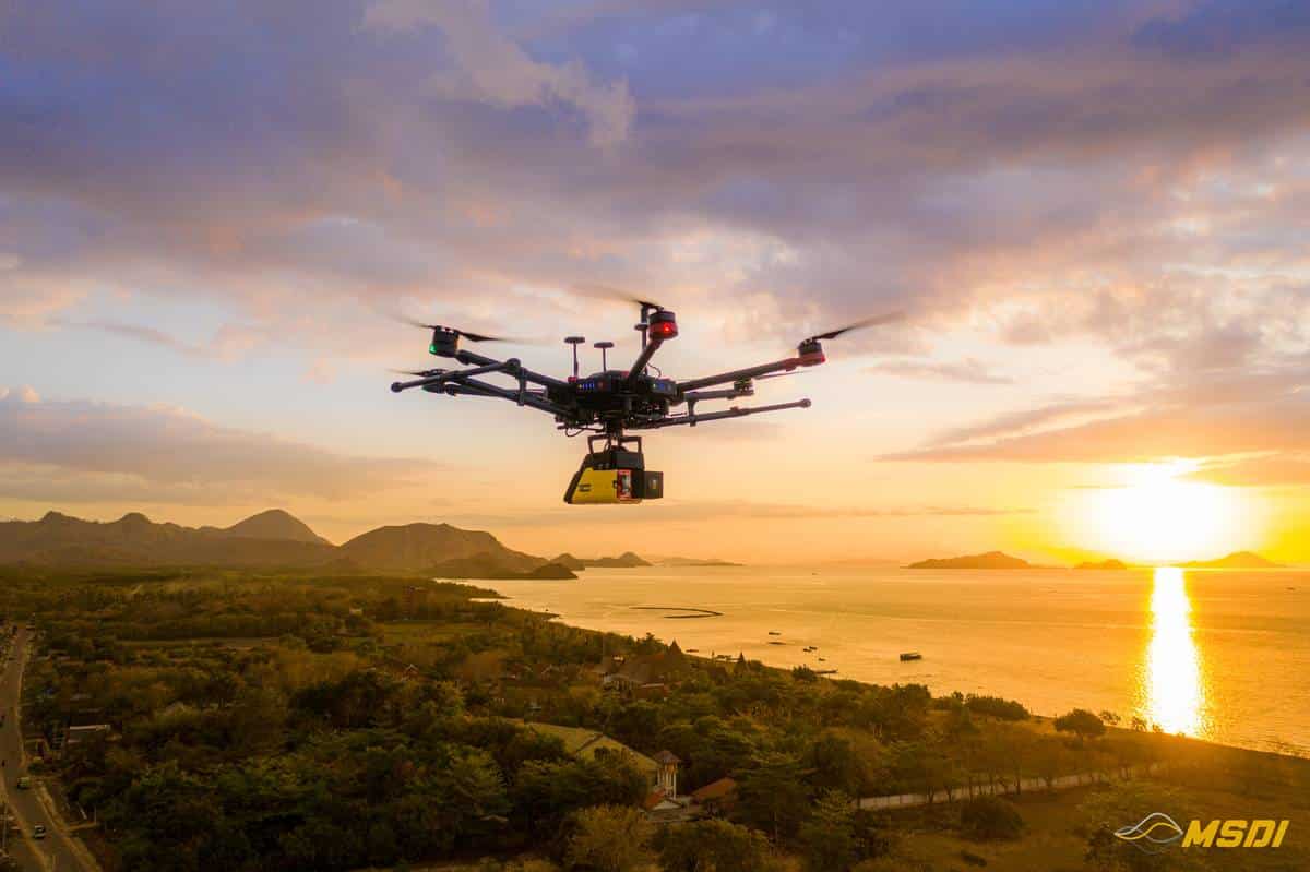
25 km of lidar mapping corridor in Labuan Bajo – Flores

Yellowscan lidar vx15 indonesia

Another project successfully completed in record time. We were fortunate to be commissioned for a 25Km corridor mapping by Lidar and photogrammetry.

Continue reading
Aerial Drone LiDAR Services Aerial UAV Photogrammetry 3D Services drone mapping lidar mapping lidar survey minivux-1UAV Photogrammetry UAV Mapping

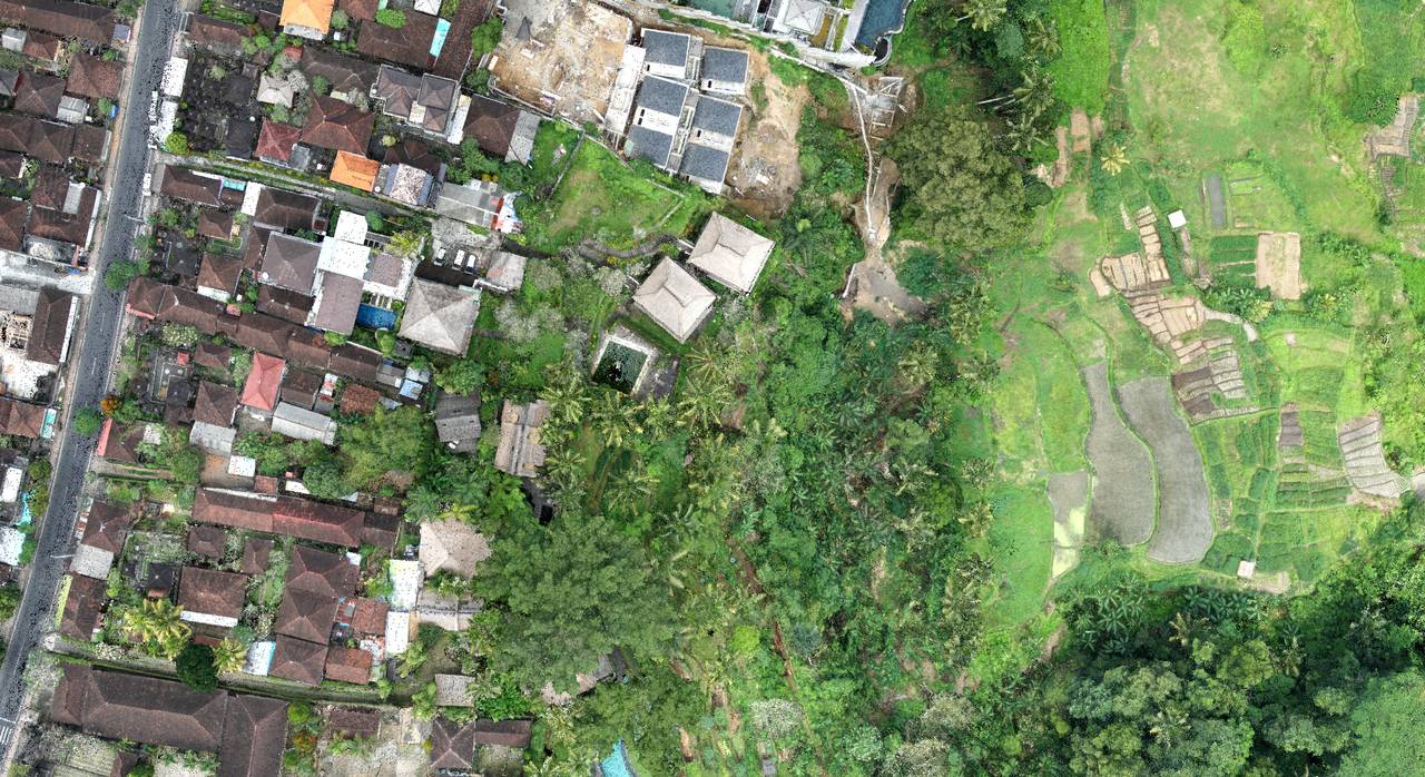
Lidar topography for Hotel renovation program in Ubud – Bali

With the aim of rebuilding a hotel from zeros, we intervened in Ubud to establish a 3D plan of a land with existing facilities and buildings…

Continue reading
Aerial Drone LiDAR Services Aerial UAV Photogrammetry 3D Services drone mapping lidar mapping lidar survey minivux-1UAV Photogrammetry UAV Mapping UAV survey

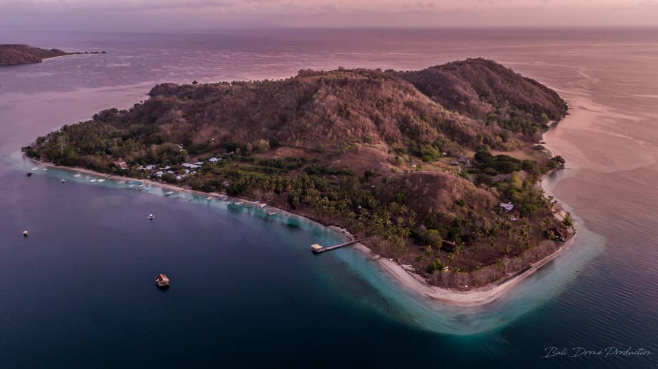
3D mapping for hotel development project in Gili Asahan – Lombok

Gili Asahan - Lombok

Another example where the border between work and pleasure does not exist. The MSDI team recently conducted a 3D photogrammetric mapping mission to Gili Asahan Island, located southwest of Lombok

Continue reading
3D Mapping Aerial UAV Photogrammetry 3D Services Photogrammetry UAV Mapping UAV survey

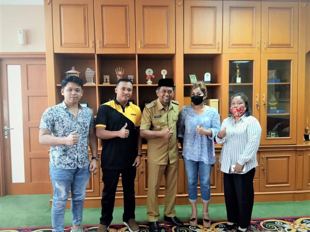
Collaboration with the Deputy Governor of Penajam Paser Utara – Kalimantan

With a great pride and respect, MSDI was invited by the Deputy Governor of Penajam Paser Utara (PPU), Ir.H.Hamdam to discuss a number of programs in the future and the way our system works in a professional manner. With all MSDI representatives in Kalimantan

Continue reading
Aerial Drone LiDAR Services Aerial UAV Photogrammetry 3D Services drone mapping kalimantan lidar mapping lidar survey mapping services

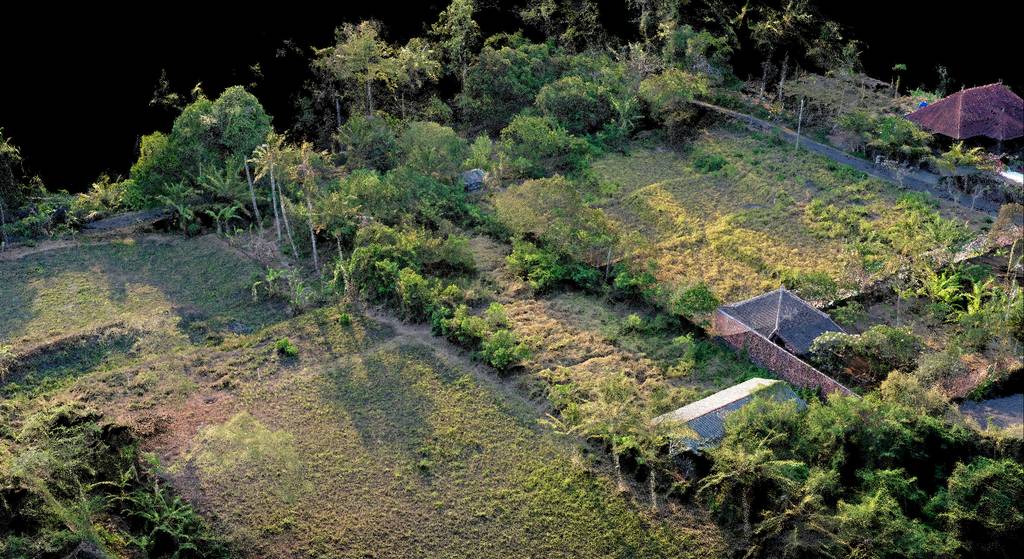
Private land development in Pering Gianyar – BALI

Yet another project for a land development, located in Pering in the Gianyar region of Bali for a private client.

Continue reading
3D Mapping Aerial UAV Photogrammetry 3D Services Photogrammetry UAV Mapping

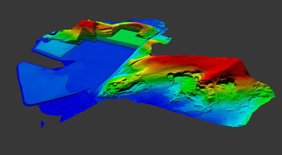
Trump Hotel Project – Tanah Lot – BALI

In order to set up security teams on the new construction site of Donald Trump’s real estate project, we were commissioned to establish a 3D map of the land

Continue reading
3D Mapping Aerial UAV Photogrammetry 3D Services Photogrammetry UAV Mapping

Categories

  • Mapping
  • Posts
  • Projects
  • Video production

Recent Posts

  • Mapping Mandalika International Circuit in Lombok – MotoGP22
  • 550ha Acquired with Lidar in Lombok for real estate development
  • 5000 Ha Lidar Acquisition for mining development in Melak – Kalimantan
  • 32 km of PowerLine inspection with Lidar in Serang and Sukabumi – Java
  • 110ha Lidar and photogrammetry mapping in Cilegon – Banten

Recent Comments

    MSDI is the specialized Mapping branch from PT. Bali Drone Production

    Take a minute to learn more about us and visit our other websites.

    About us
    Bali Drone Production Logo
    MSDI

    PT. Bali Drone Production
    Gg Nuri II, JL Tukad Balian,
    Denpasar, Bali 
    Email: contact@msdi.co.id
    Phone: +62 838 46579455
    HP: +62 813 3961 9265

    Sister Branch:

    • www.BaliDroneProduction.com

    Instagram

    Just wrapped up our latest 3D mapping mission in B…
    Our new setup ! YellowScan Voyager ready to rock !…
    Exciting news! We're kicking off a new project in…
    Our Yellowscan Voyager can capture 1,8Million meas…
    Wonderful job that we had for @investislandsgroup…
    Ready for the next missions, our #trinity F90+ wit…

    Social Network

    Whatsapp Facebook-f Instagram Twitter Youtube

    Partnership & Job Vacancy
    Privacy

    Languages

    • EnglishEnglish
    • FrançaisFrançais
    • Bahasa IndonesiaBahasa Indonesia
    • EnglishEN
    • FrançaisFR
    • Bahasa IndonesiaID

    Copyright – All Rights Reserved © 2022 – Hosted by RWCOM