
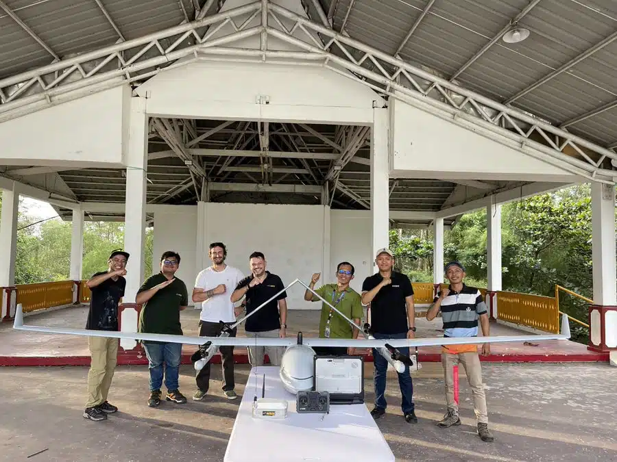
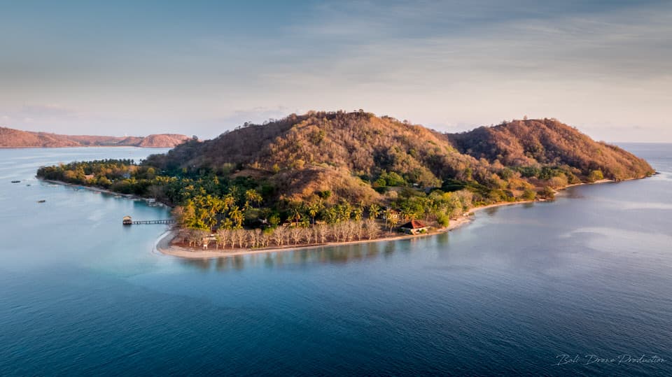
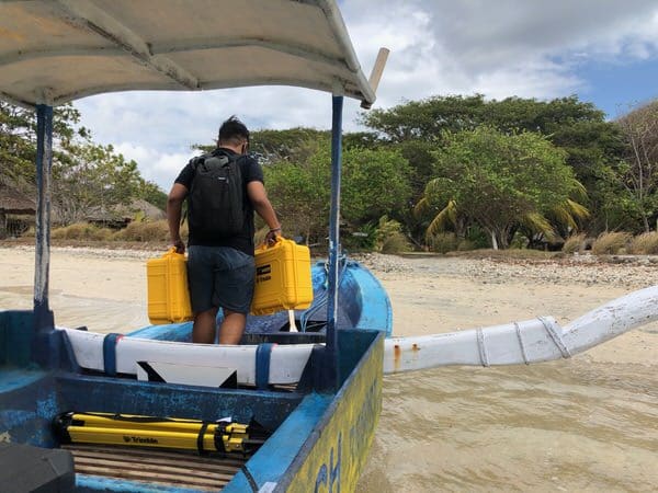
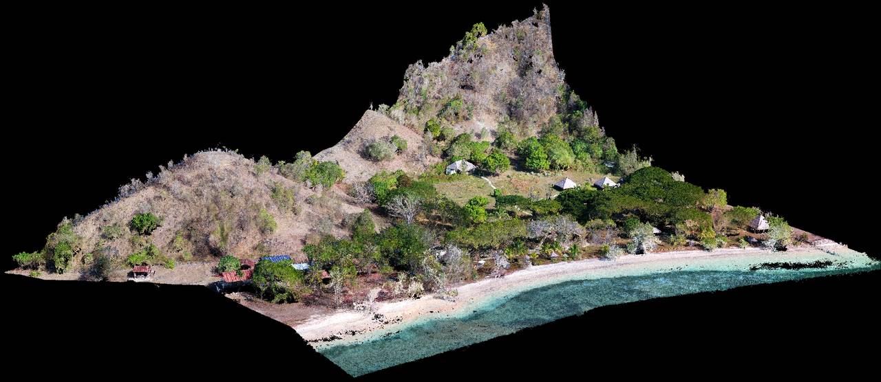
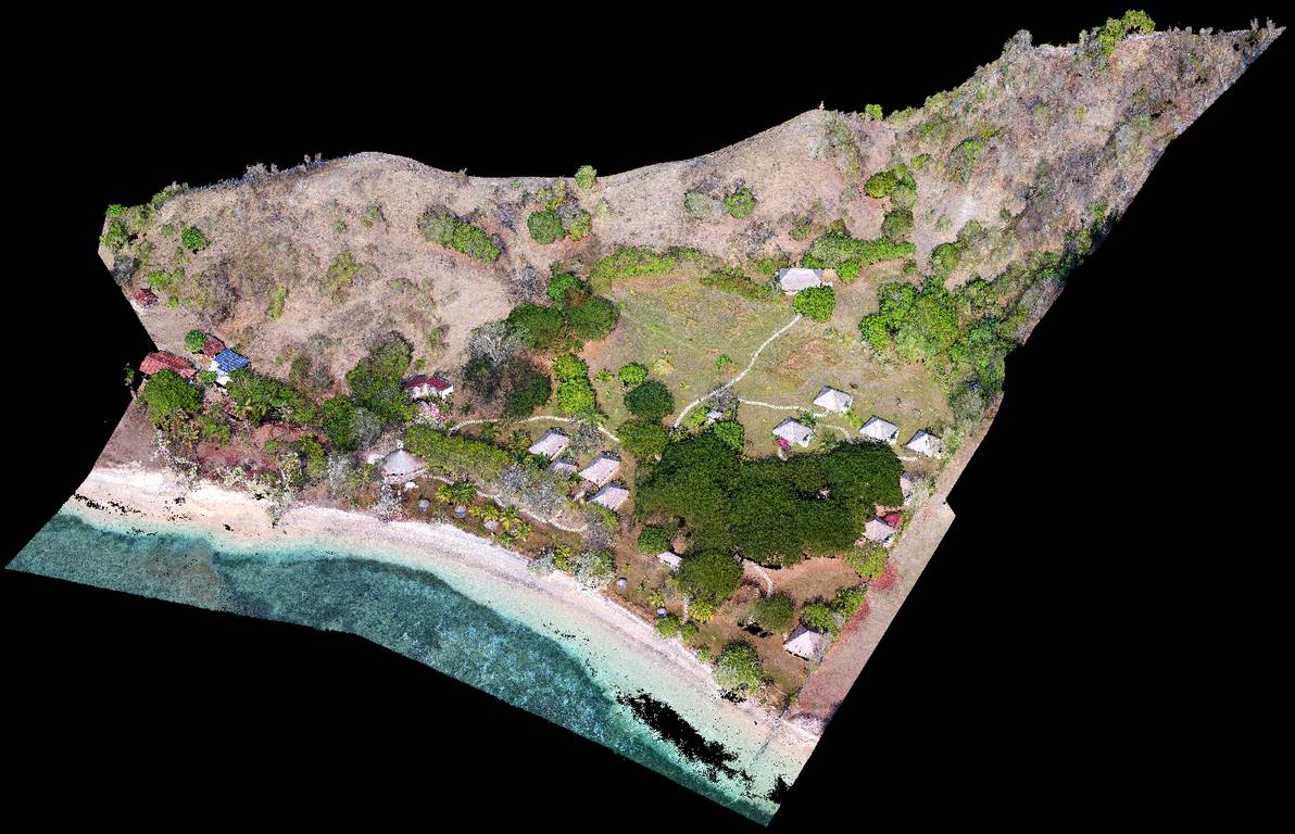
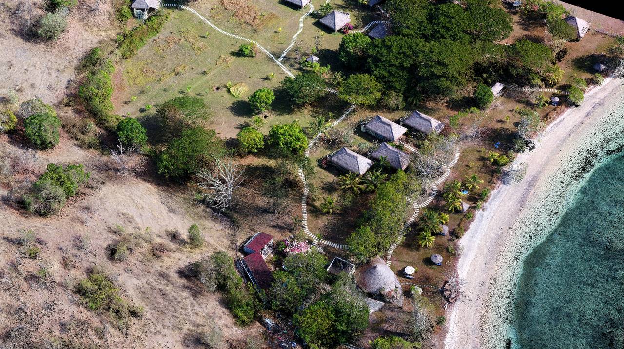
Another example where the border between work and pleasure does not exist. The MSDI team recently conducted a 3D photogrammetric mapping mission to Gili Asahan Island, located southwest of Lombok. The work environment was splendid, so it is very pleasant to carry out missions in such a paradise.
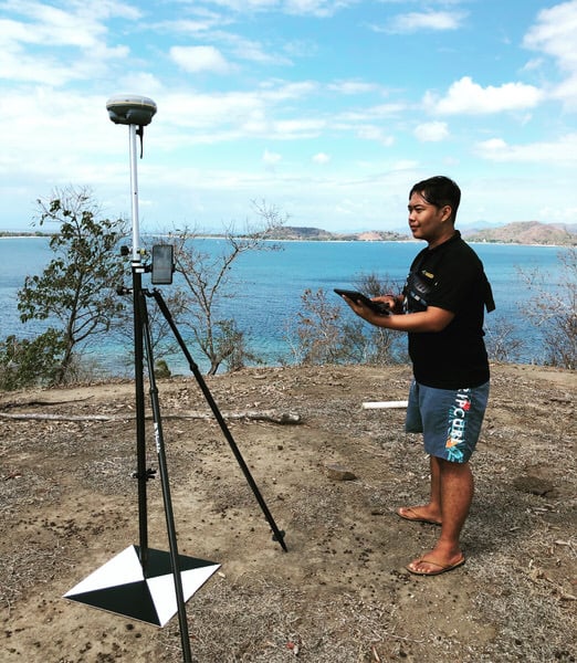
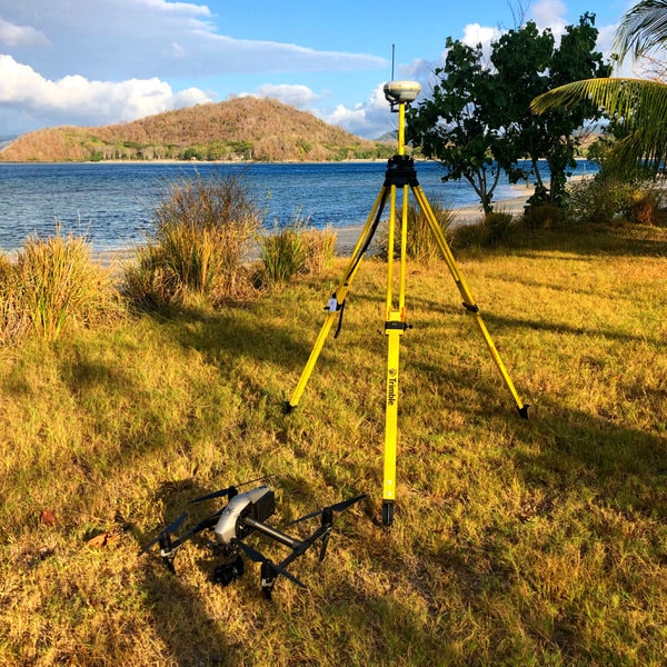
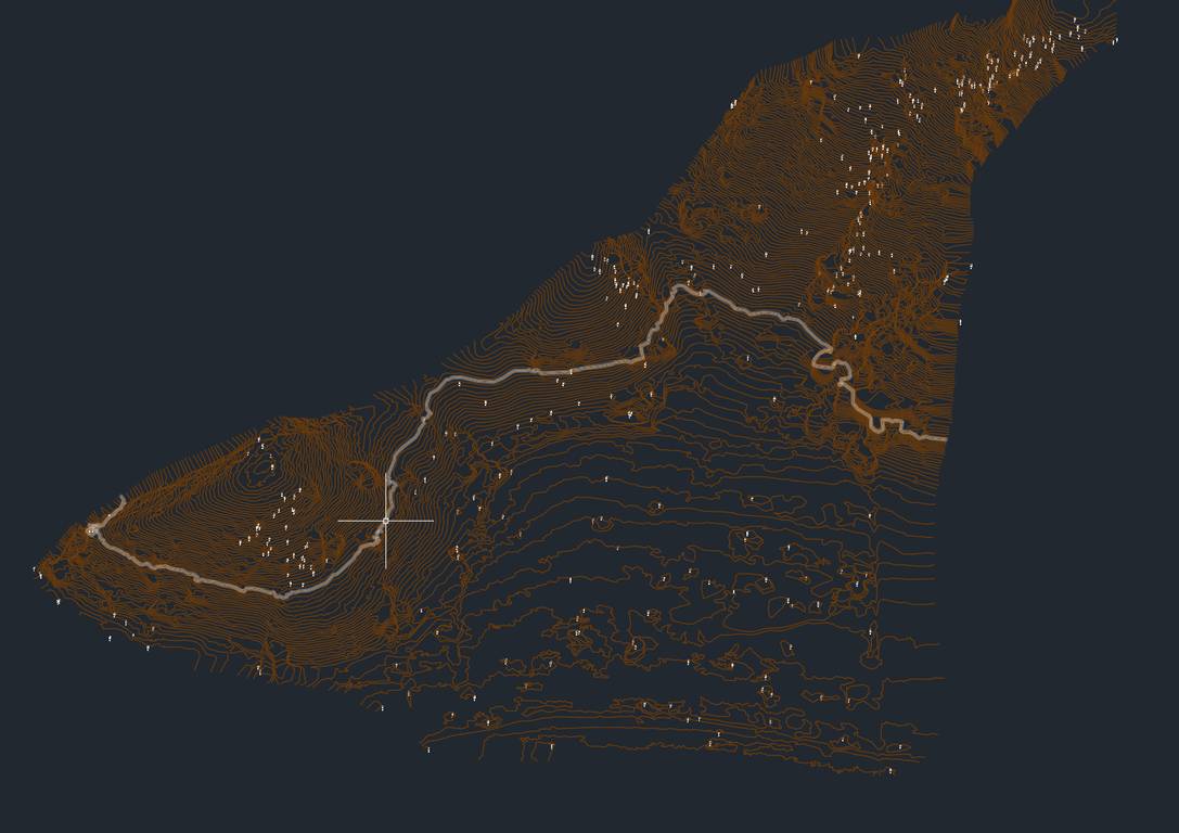
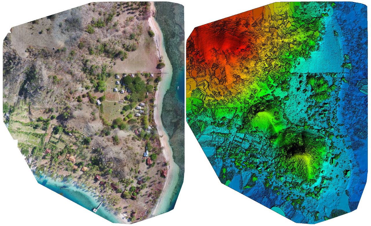
After disembarking on the island, our team set up ground control points to ensure data accuracy and compliance. Our drone then crisscrossed the area several times in order to be able to generate the relief data and more real model rendering.
Our mission was to provide land surveys in order to develop the resort of our private sector client. Thanks to our Gnss trimble GPS antennas, we have provided precise plans below the centimeter, perfect for the design of future buildings and the planning of works. Size of the treated area: approximately 5 hectares.
Customer
Private Resort Hotel
What We Did
UAV 3D Mapping / centimeter topography