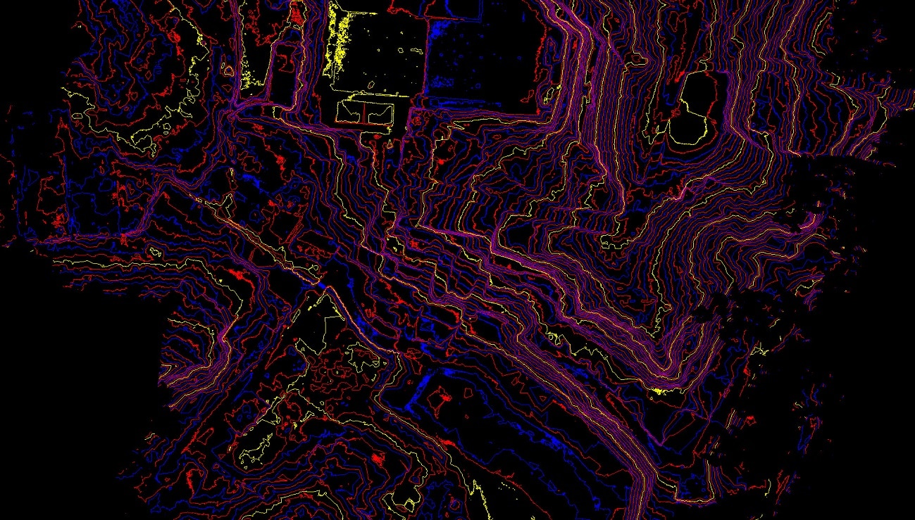
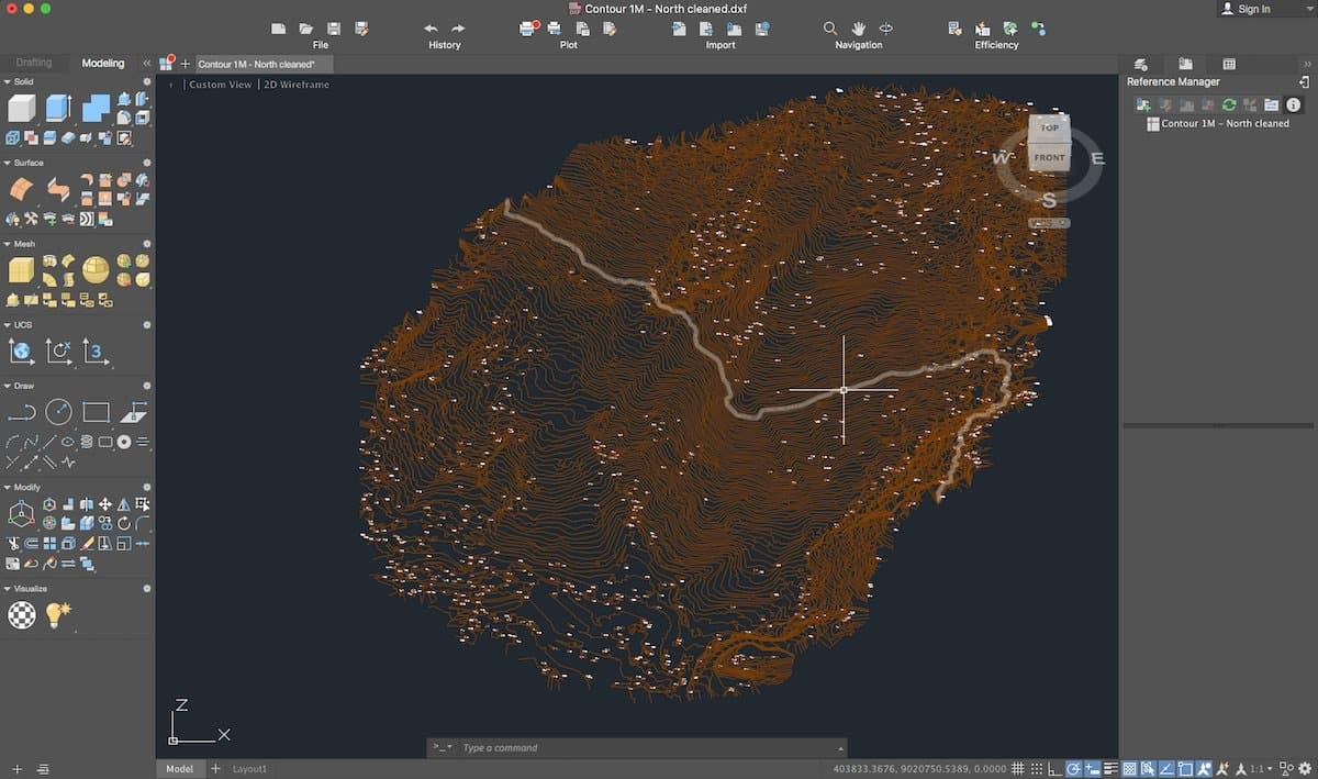
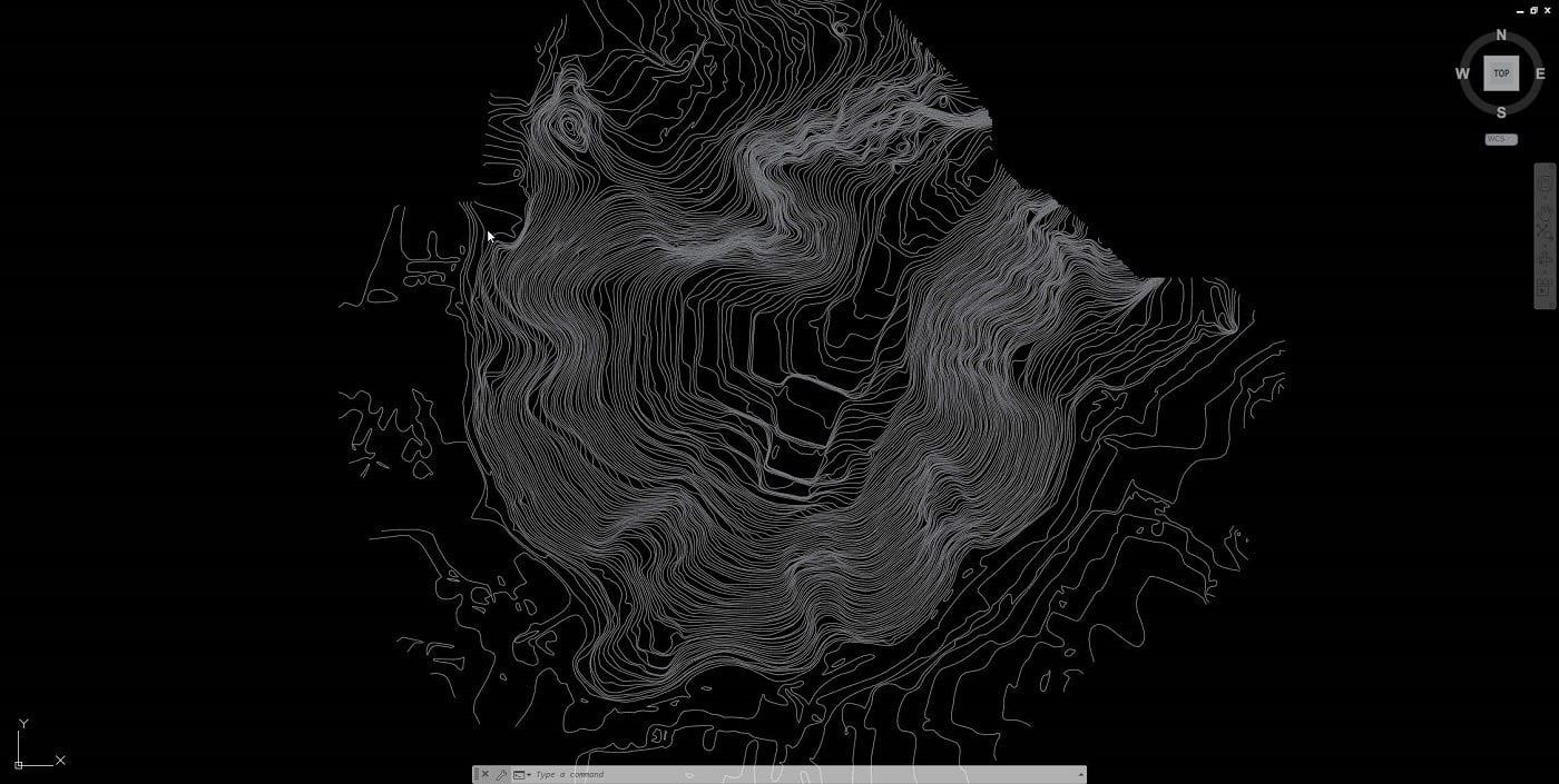
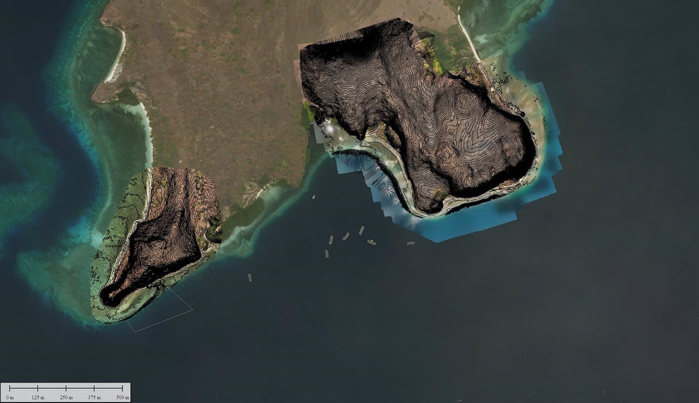
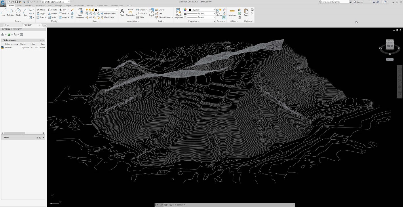
Our drone topography services allow us to generate contour line plans. These plans, much appreciated by architects and design engineers, are the basis for starting a project. They can be used in different fields: real estate or land development, scientific analyzes, analysis and simulation of flooding, cadastre, civil engineering etc … Contour plans are generated using Digital Terrain Models (DTM) from our drone surveys . Lidar technology has greatly improved the accuracy of these maps, especially as the laser can easily pass through vegetation and accurately survey terrain.
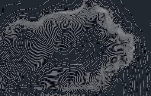
The contour line maps represent the level lines very precisely at regular intervals, defined during the export. The intervals represent the variations in orthometric heights of the earth’s surface. This data set therefore makes it possible to represent the elevation and altitude of a terrain or an area. With our drone services, it has never been easier to acquire this type of data, even for large areas because our UAVs can cover and map several hundred hectares per day, unlike conventional surveys which require weeks or even months for the same area.
Example of contour lines applications
- Building Construction
- City Design
- Risk Analysis
- flood forecasting
- Lands development
- Real estate