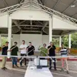
Improving infrastructure and ensuring user safety are big responsibilities and require specific plans to avoid unnecessary spending and improve performance.
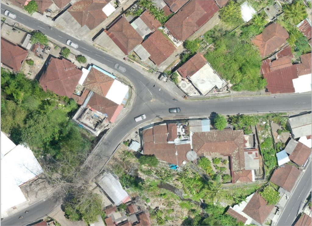
Thanks to our drone survey services, we will be able to provide high-precision plans very quickly. Compared to conventional surveys, our intelligent UAV services allow for faster intervention and more accurate data generation in record time. In order to correspond to the plans already in place, we can also use different projection and data systems that the client will communicate to us.
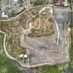
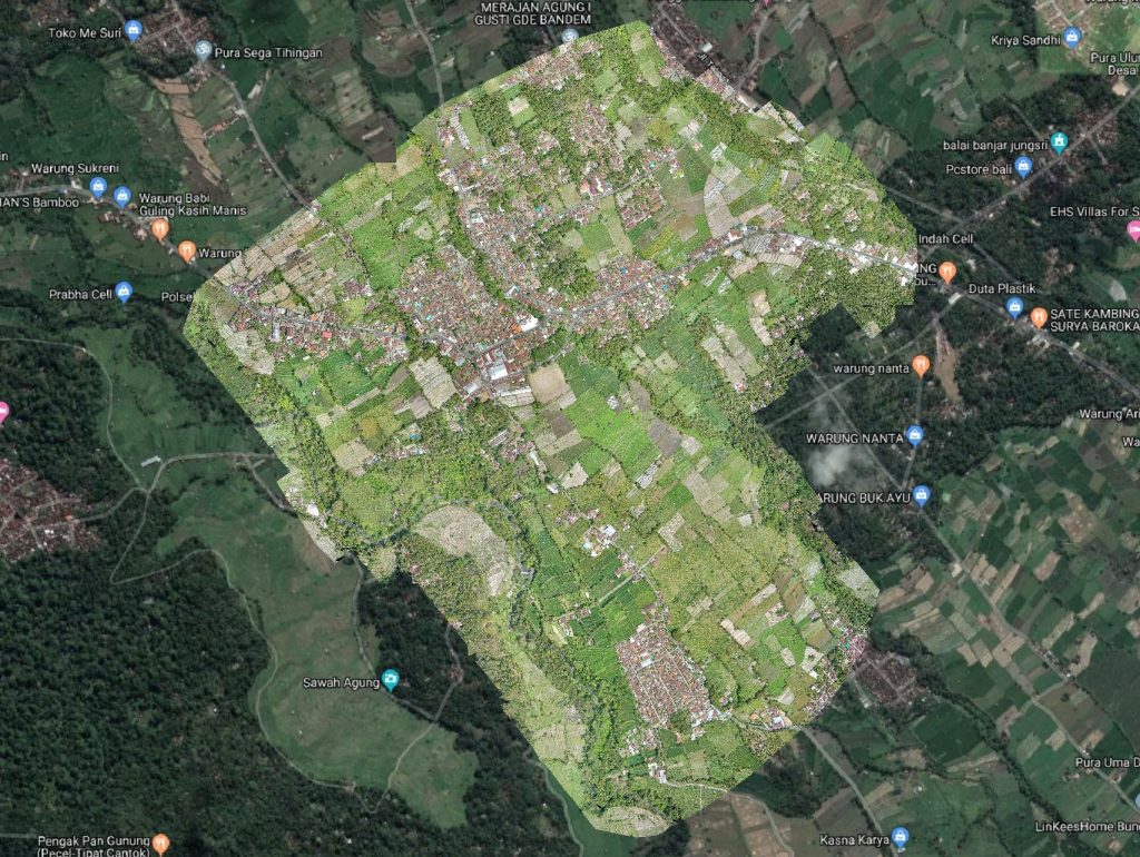
With MSDI you will be able to map very quickly a large geographic area for your projects of highways, railways, airport, and other infrastructure related to transport and thus be able to make the right decisions and optimize your expenses.
Roads infrastructure and Highway
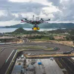
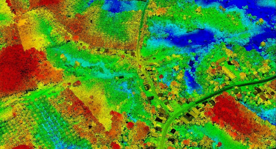
Each country has continual needs to improve and expand their road networks, not to mention maintenance which is a major cost center. Thanks to our maps by drone, photogrammetry and lidar, we can provide very detailed and precise plans which will allow designers to plan with precision the realization of roads and their expansion. Developing roads on unfamiliar terrain has never been easier! Thanks to Laser technology, the ground can be raised to the nearest centimeter, even if it is covered with vegetation and trees. In addition, our lidar drone survey services allow you to map terrain that is still difficult to access, so it is quick and easy to be able to make decisions for the future project.
Bridges And Structures
MSDI assists local, provincial and federal authorities as well as private industry clients to assess, improve, replace and assess bridges. Our Lidar UAV / Drone, provides data for planning, monitoring, engineering, maintenance and management of the construction of bridges that provide solutions to complex projects. We have the experience and the ability to provide precision evaluation data that will help your teams in their recurring or punctual tasks.
Airports
MSDI solutions meet the needs of airports by creatively exploiting and providing high resolution aerial data (photogrammetry and Lidar) to support 3D airport mapping, airport pre-planning and design, airport development plans. airports, navigation mapping, airport security and aviation security operations.
We have the combination of knowledge, resources and skills to deliver cost effective, efficient and timely solutions. We can provide 3D digital surface models (DSM) and Digital Terrain Models (DTM) which can be used to support airport and aviation operations to provide details for airport runway construction, airport terminals, design of airport layout, analysis reports, mapping of facilities, taxiways, parking areas.
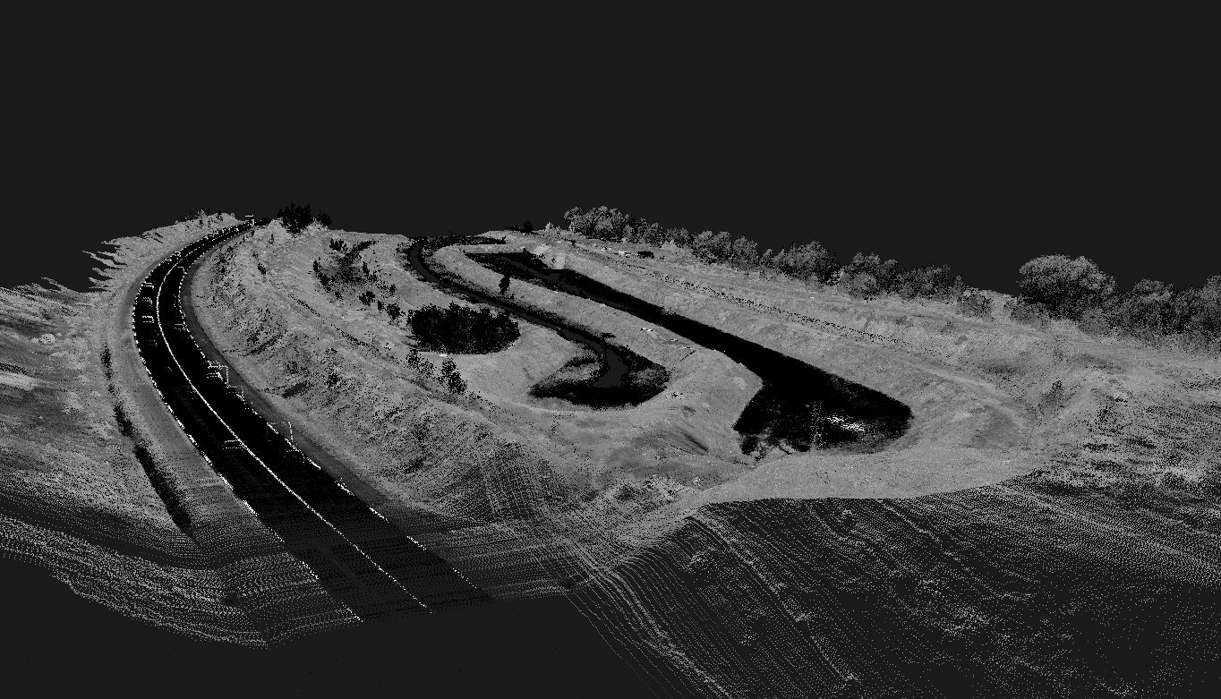
Railroads mapping
Our Lidar is also capable of mapping railway lines. With the data collected, our intelligent solution allows us to redraw the rails directly in vectorized drawing to then be more easily integrated with GIS or professional maintenance software. Thanks to the algorithm it becomes easy to reveal the elements which could become dangerous for the installations, such as trees etc …

