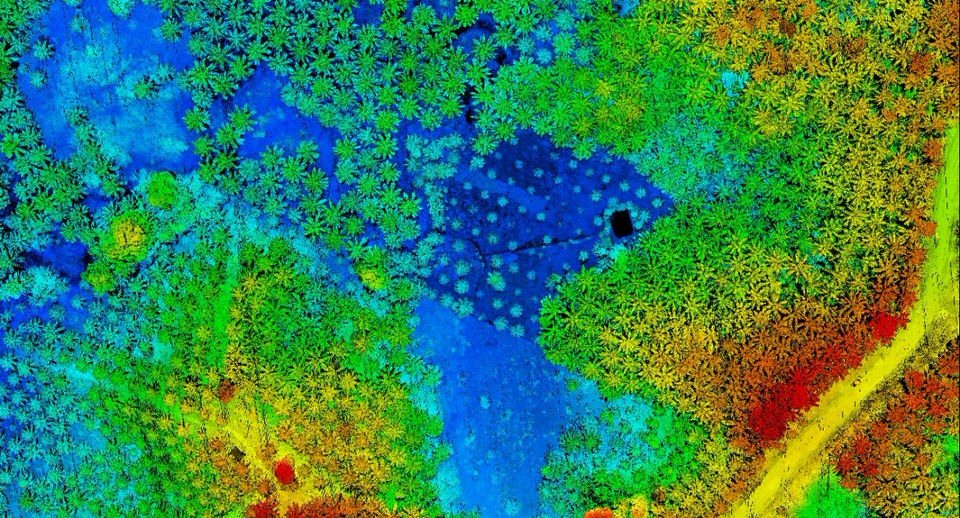
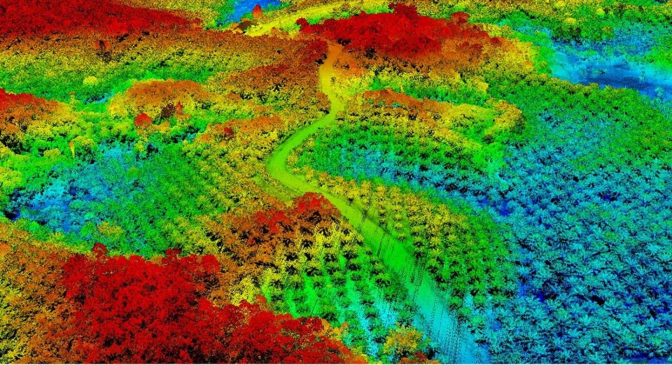
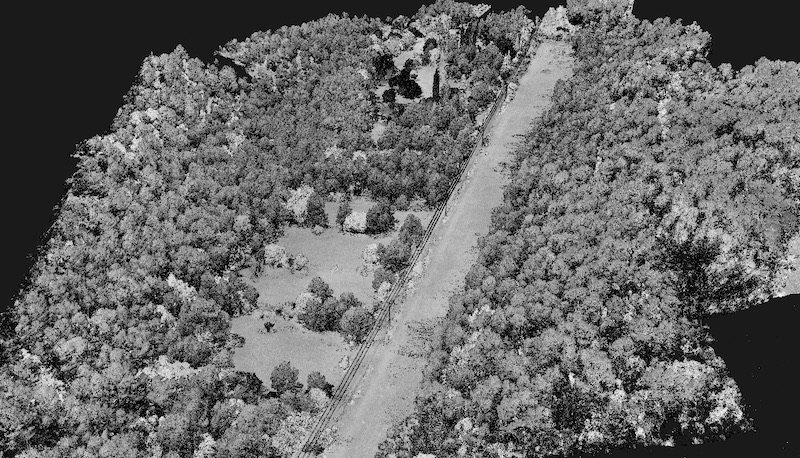
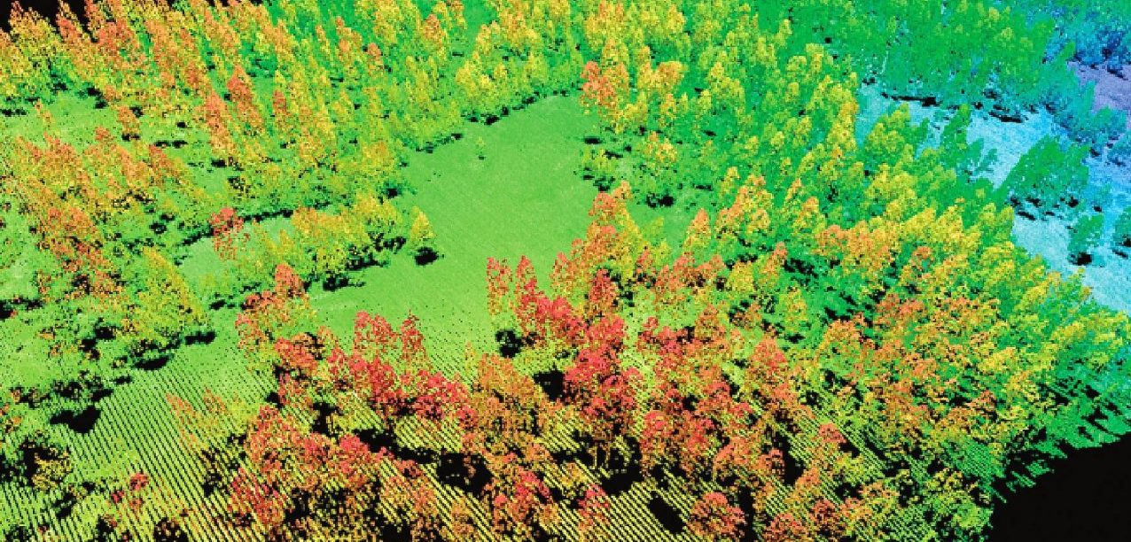
The new forest mapping services from MSDI help you manage, identify and verify your farms. It is important for companies and governments with large areas of forest to be able to have reliable data on the quantity, type and health status of their trees / plantations. Thanks to precise lidar data, it even becomes possible to calculate the carbon absorption generated by a forest, to calculate the yield of a forest, to follow the growth and development of vegetation.
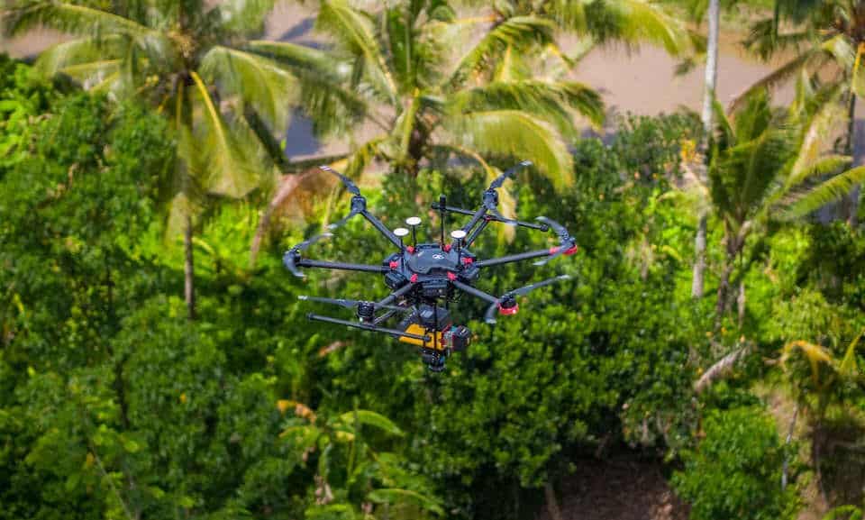
With reliable data, decision making becomes easier and more focused. Forest mapping by drone / uav allows us to provide results much faster than any other survey solution.
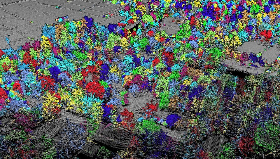
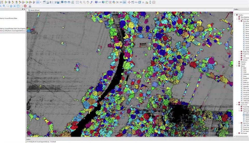
Read our article about the tree counting technology : Lidar and Forest Management – Trees counting
Example of forestry services application
- Wildfire Risk Analysis
- Vegetation Analysis
- Carbon Stocktaking
- Forest Inventory Maintenance
- Disaster estimation
- Forest Activity Monitoring
- Tree counting