Services We Offer
The new and highest technology at your service, we have the tool to help you
to grow your business, see what we offer to you.
We Are Proud ofWhat We Do

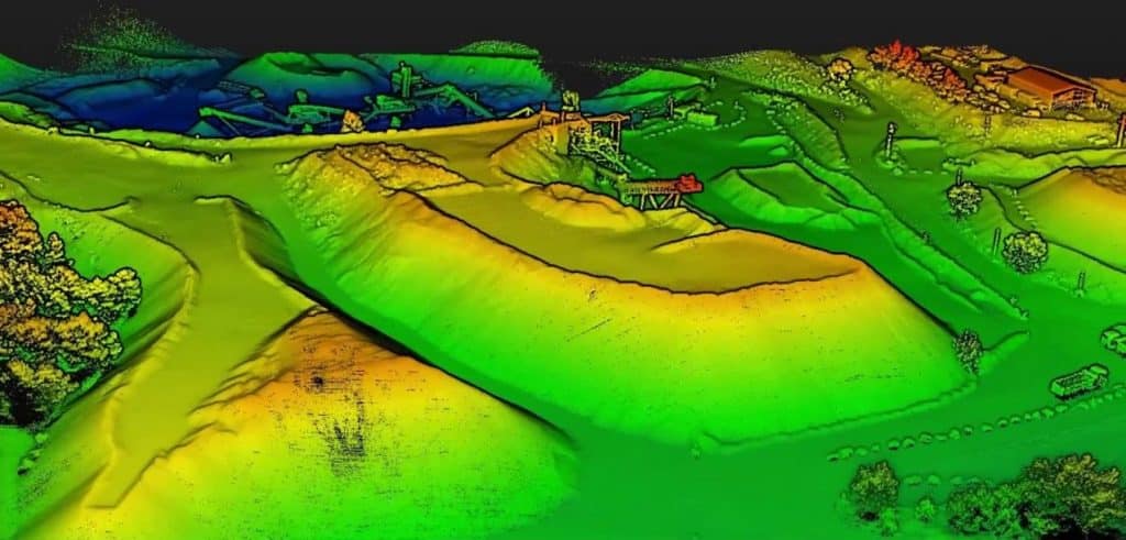
Mining
For mines, quarries and resource management. Instant measurements of volumes, distance, area, stockpile Inventory
Mining
Details
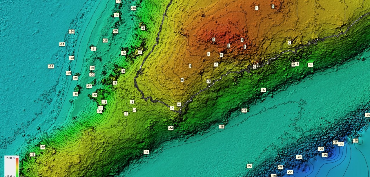
Survey - Topography
Real estate development project, field analysis, contour line and DTM generation, disaster recovery investigation and more
Survey - Topography
Details
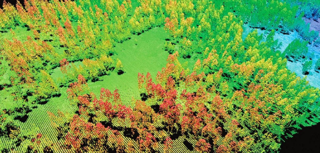
Forest Management
Tree counting, 3D view of the area, grow monitoring, area analysis
Forest Management
Details
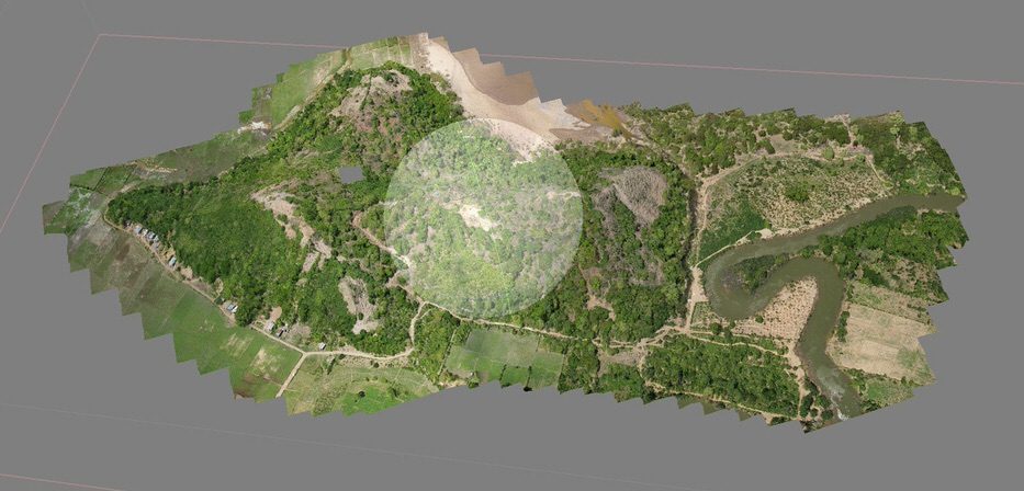
3D modeling
Modeling of building, land, infrastructure. Perfect for architects and development projects
3D modeling
Details
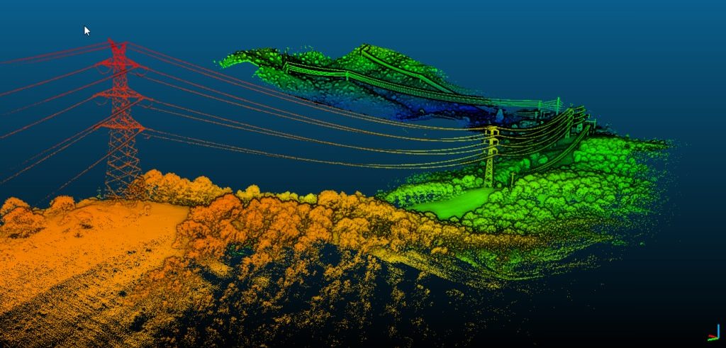
Powerline - Corridor
Site inspection, asset monitoring and modeling, proactive maintenance and detection
Powerline - Corridor
Details
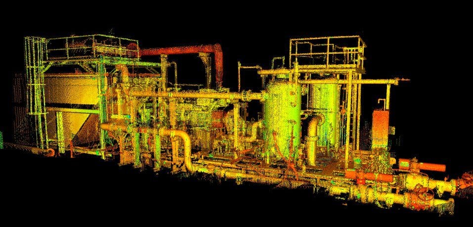
Oil and GAS
Pipeline inspection, Proactive asset monitoring and modeling. Reducing direct risk.
Oil and GAS
Details
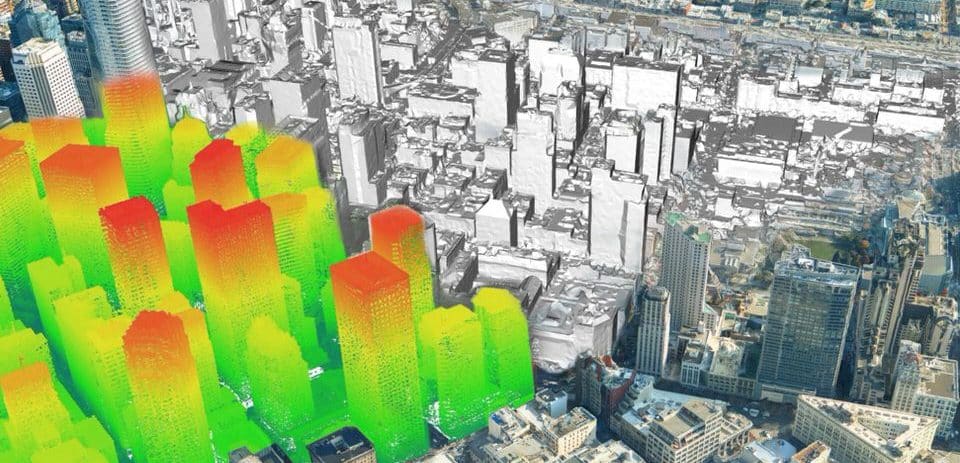
Civil Engineering
Create an accurate map of the city and building. 3D map of the infrastructure, building, bridge. Auto classification.
Civil Engineering
Details
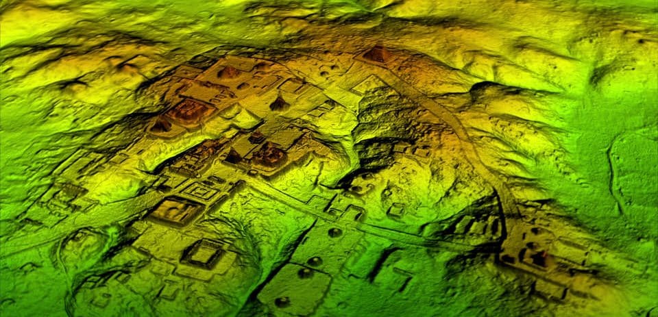
Archaeology
Able to reveal the hidden remains that are under the vegetation or to measure to the nearest cm the historical monuments.
Archaeology
Details
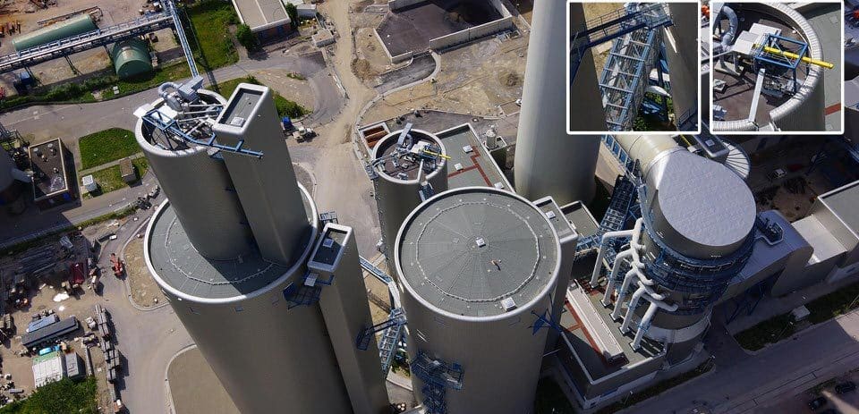
Asset Inspection
Pipeline inspection, Proactive asset monitoring and modeling. Reducing direct risk.


