Indonesia is full of treasures and raw materials useful for the whole world. This makes it one of the most developed mining countries. With MSDI technology, mining companies will be able to optimize their yields and maximize their ROI, generate analytical reports, and also improve their quarry security. Thanks to the 3D precision plans it becomes possible to make volumetric calculation of stocks, follow the progress, detect potential risks like the explosion of rocks, unstable slopes or even risks of water infiltration / flood.
With regular surveys, it is possible to follow the history of a career and thus make more precise forecasts. Our compact and high-end equipment allows us to intervene quickly, even in hard-to-reach or remote areas, such as in the middle of the jungle.
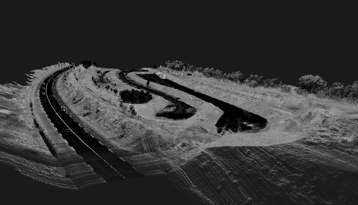
UAV Lidar for mining
The lidar is a very high precision measurement tool for cartographic surveys (up to 1.3 cm precision), it can help you measure the progress, productivity, quality and costs of your mine. And because we use drones, stop taking risks by sending people to the top of a stock or in a dangerous area of the mine, the drone will do it for you much more effectively.
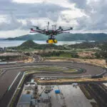
Smart Drone mining services
Operational risk and compliance management
- Aerial surveying & 3D mapping
- Drill & blast planning & topography engineering
- Asset & infrastructure inspections
- Geotechnical inspection & structure characterization
Asset lifecycle management
- Base mapping for site designing
- Site surveys during construction
- As built versus as designed comparison
Supply chain management
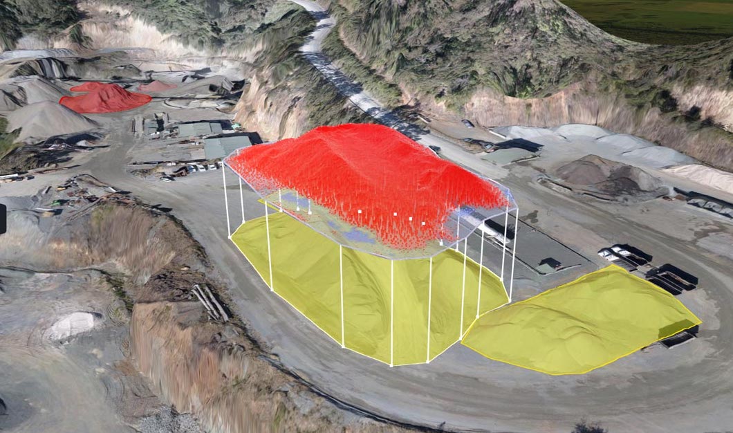
- Stockpile management
- Production inventory
- Delivery forecasting
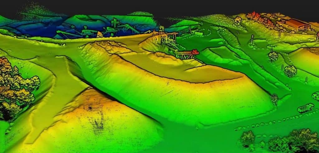
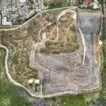
Example of mining mapping services application
- Stockpile Analysis
- Volumetric Calculation
- Detect unstable slopes
- Geological documentation and analysis
- Aerial surveying & 3D mapping
- Risk Analysis
- Track progress
- Site Modeling
- Delivery forecasting
- Asset & infrastructure inspection
- Generate analytical report
- Improve Security
- Profile measurement
- Production Inventory
- Drill & blast planning & topography engineering