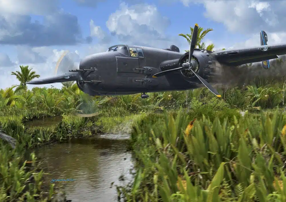
The project aims to locate a World War II-era plane that crashed and remains submerged in a swamp in West Papua. Partnered with a private historical company, this initiative seeks to use photogrammetry and drone technology to map the crash site and uncover historical artifacts.
Continue readingSmart Waste Management: Monitoring Bali’s Largest Landfill with Drones
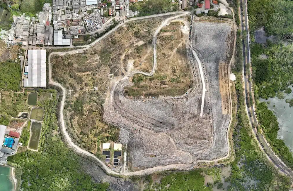
The project focuses on environmental monitoring of TPA Suwung, Bali, using photogrammetry technology. Partnered with HarvestWaste, the initiative aims to calculate trash volumes and estimate when the landfill will reach its maximum capacity.
Continue reading500ha – Innovative LiDAR Technology Accelerates Reforestation Efforts in North Sulawesi, Indonesia
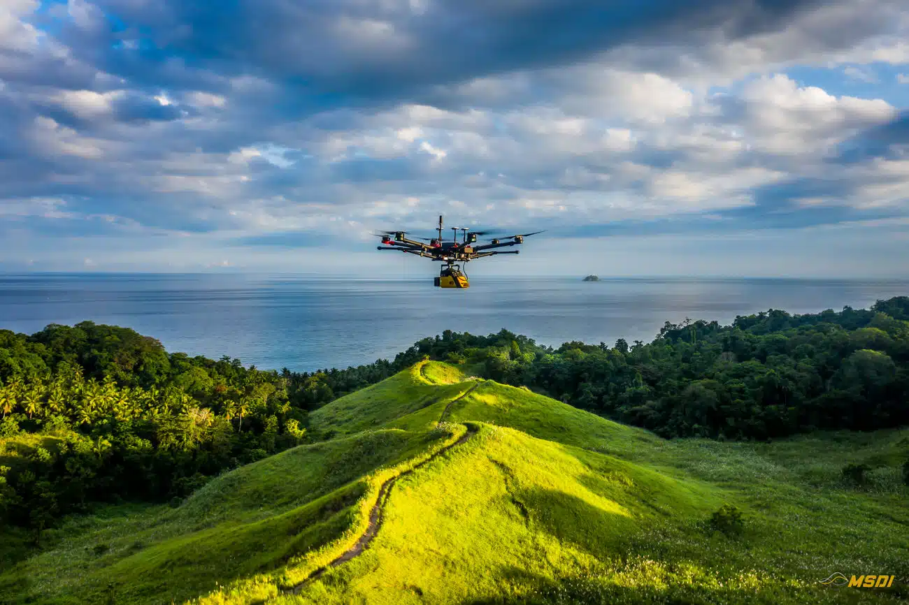
Through a collaboration between MSDI and the Masarang Foundation, LiDAR scans facilitated fast and accurate topographic and hydrologic analysis, optimizing tree planting and resource allocation. This partnership exemplifies the potential of geomatics and advanced technology in environmental conservation, inspiring other organizations to adopt such methods for a greener, more sustainable future.
Continue readingMapping Mandalika International Circuit in Lombok – MotoGP22
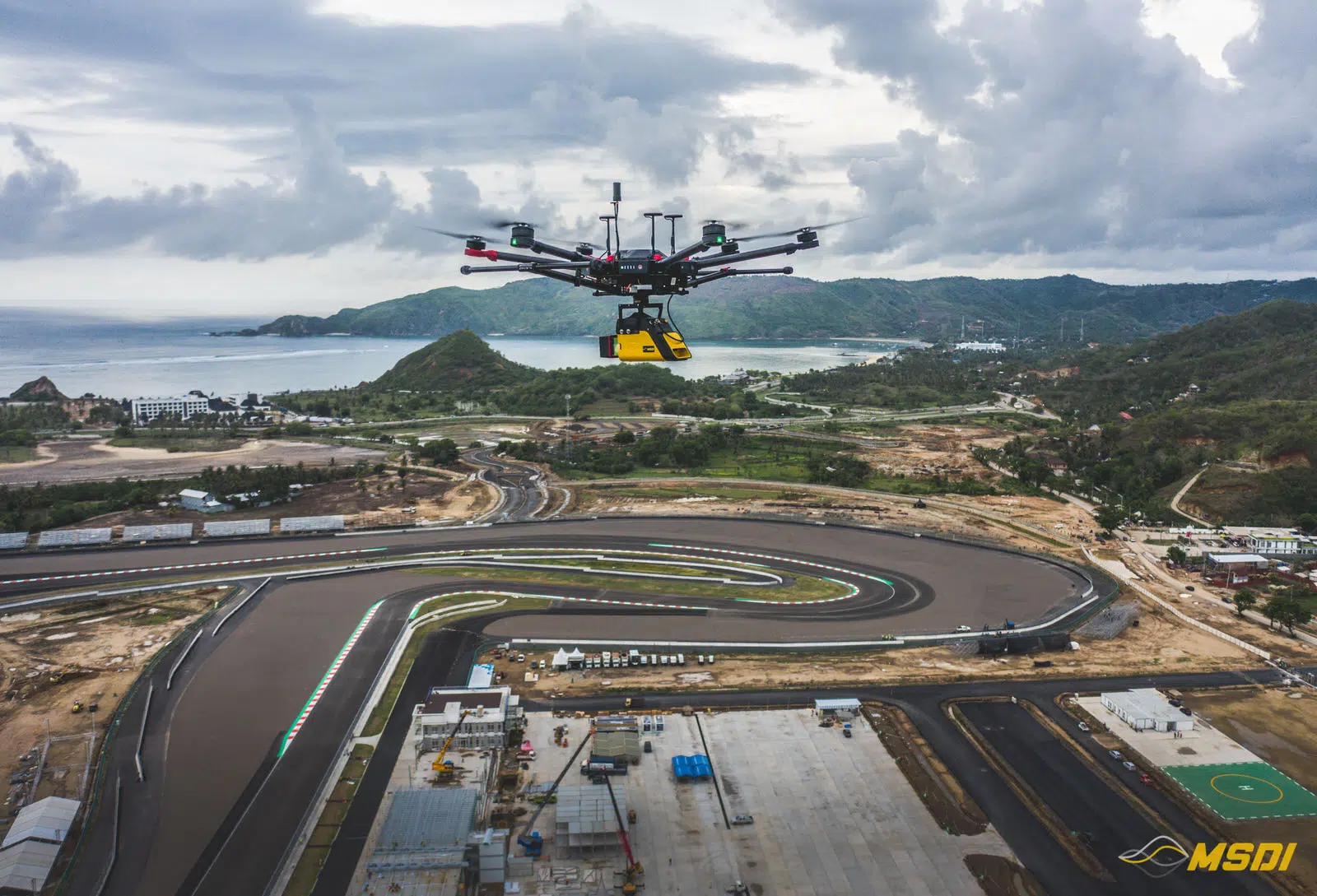
Video games are becoming more and more sophisticated and development studios are pushing realism even further thanks to new technologies and ever more powerful game consoles over the years. This is why the challenge of our project, for the development studio Milestone, was to…
Continue reading550ha Acquired with Lidar in Lombok for real estate development
Video games are becoming more and more sophisticated and development studios are pushing realism even further thanks to new technologies and ever more powerful game consoles over the years. This is why the challenge of our project, for the development studio Milestone, was to…
Continue reading5000 Ha Lidar Acquisition for mining development in Melak – Kalimantan
Kalimantan, also known as Borneo, is rich in underground resources and a favorite playground for mining companies. Kalimantan is the largest island in Indonesia and is the 5th largest island in the world. Our new project in the Melak region gave us a hard…
Continue reading32 km of PowerLine inspection with Lidar in Serang and Sukabumi – Java
Indonesia has an extremely favorable climate for vegetation development: abundant sun, high humidity and regular rains, so the landscape can change at high speed. This is why the National electricity distributor, PLN, must regularly inspect the high voltage lines, in order to do proactive maintenance to avoid any contact between vegetation and the catenaries.
Continue reading110ha Lidar and photogrammetry mapping in Cilegon – Banten
Our job here was to acquire 110ha with lidar and photogrammetry for a new construction site. The weather condition during the mission was very windy, so to keep everyone safe
Continue readingFront beach Photogrammetry in Tabanan – Bali
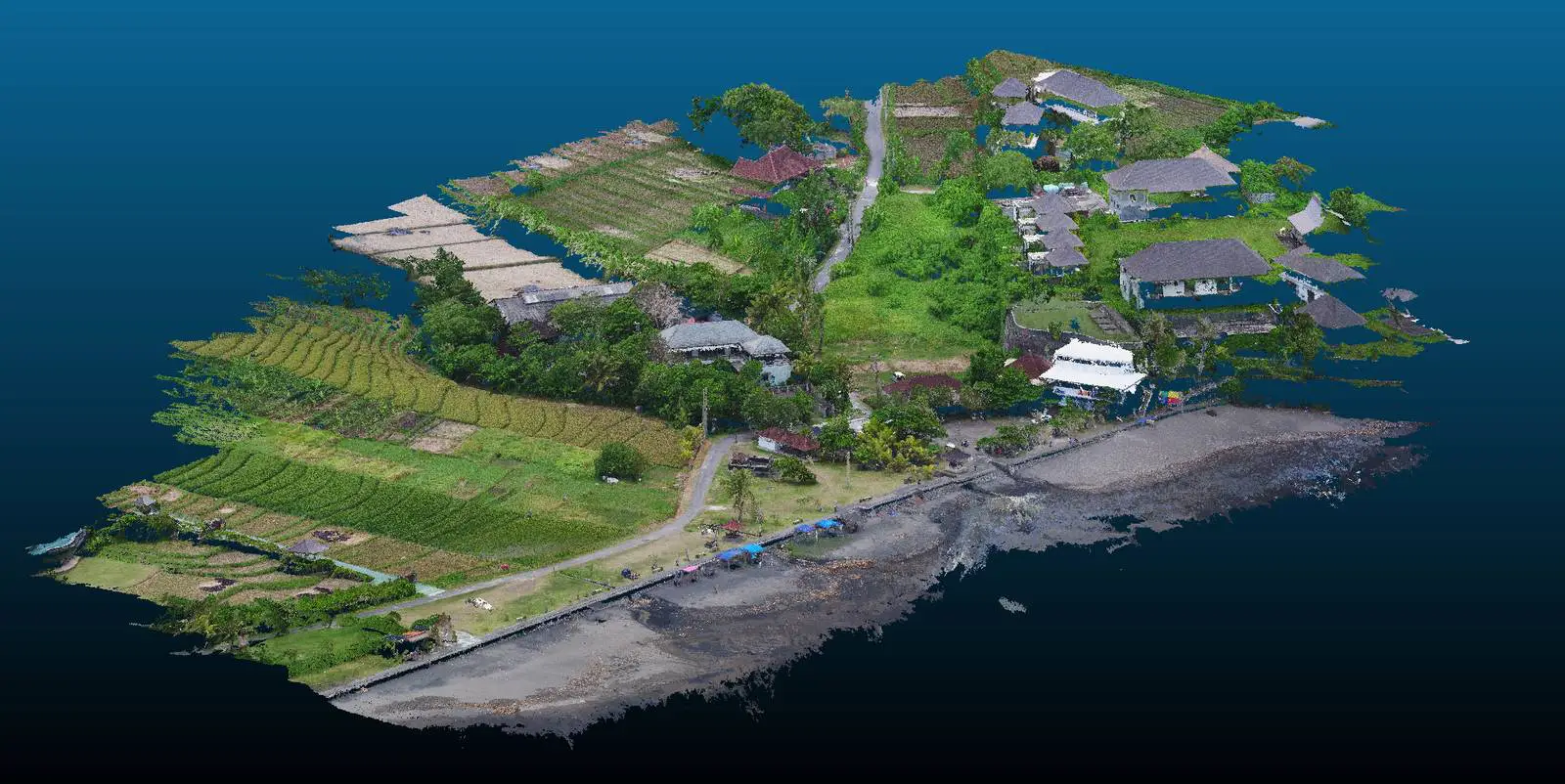
Fortunately, not all Bali investors have given up in the face of the Covid, and some of them are taking advantage of this somewhat quieter period to advance their projects.
Continue reading20Ha Lidar mapping in Surabaya – Java Timur
It was fast but it was nice. We did a mapping of approximately 20Ha in the area of Surabaya this october. The project included the data acquisition by lidar and photogrammetry.
Continue reading
