
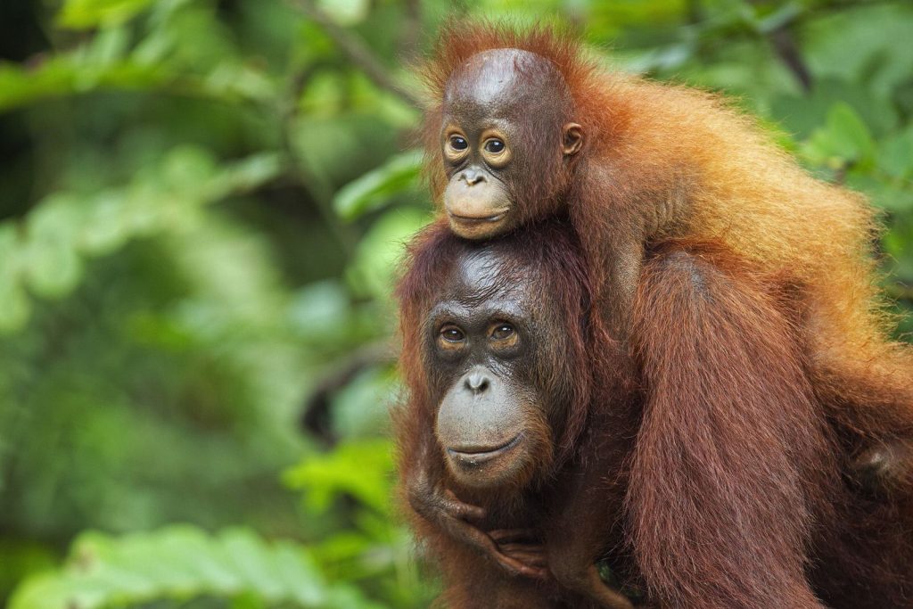
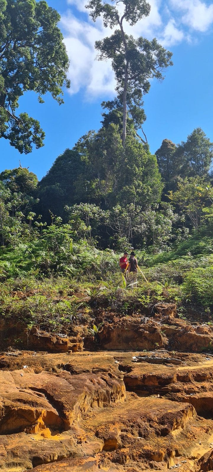
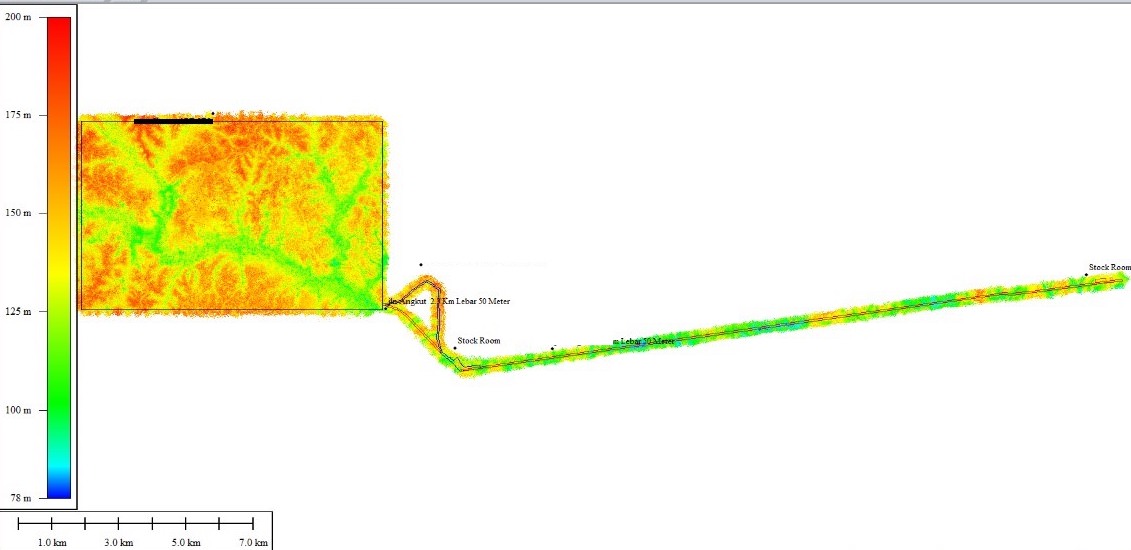
Kalimantan, also known as Borneo, is rich in underground resources and a favorite playground for mining companies. Kalimantan is the largest island in Indonesia and is the 5th largest island in the world. Our new project in the Melak region gave us a hard time: 5000 hectares and 20km of corridor to cover in a very remote area of the island.
Client
Private Mine
WHAT WE DID
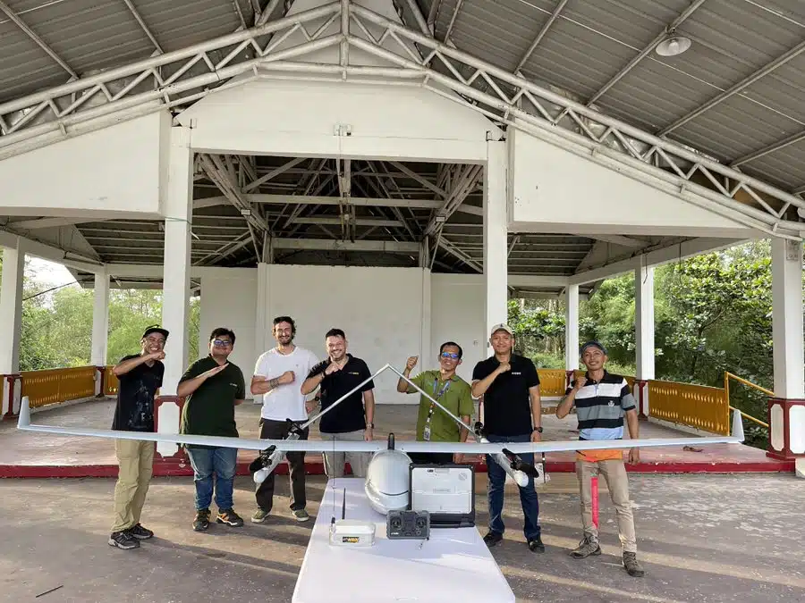
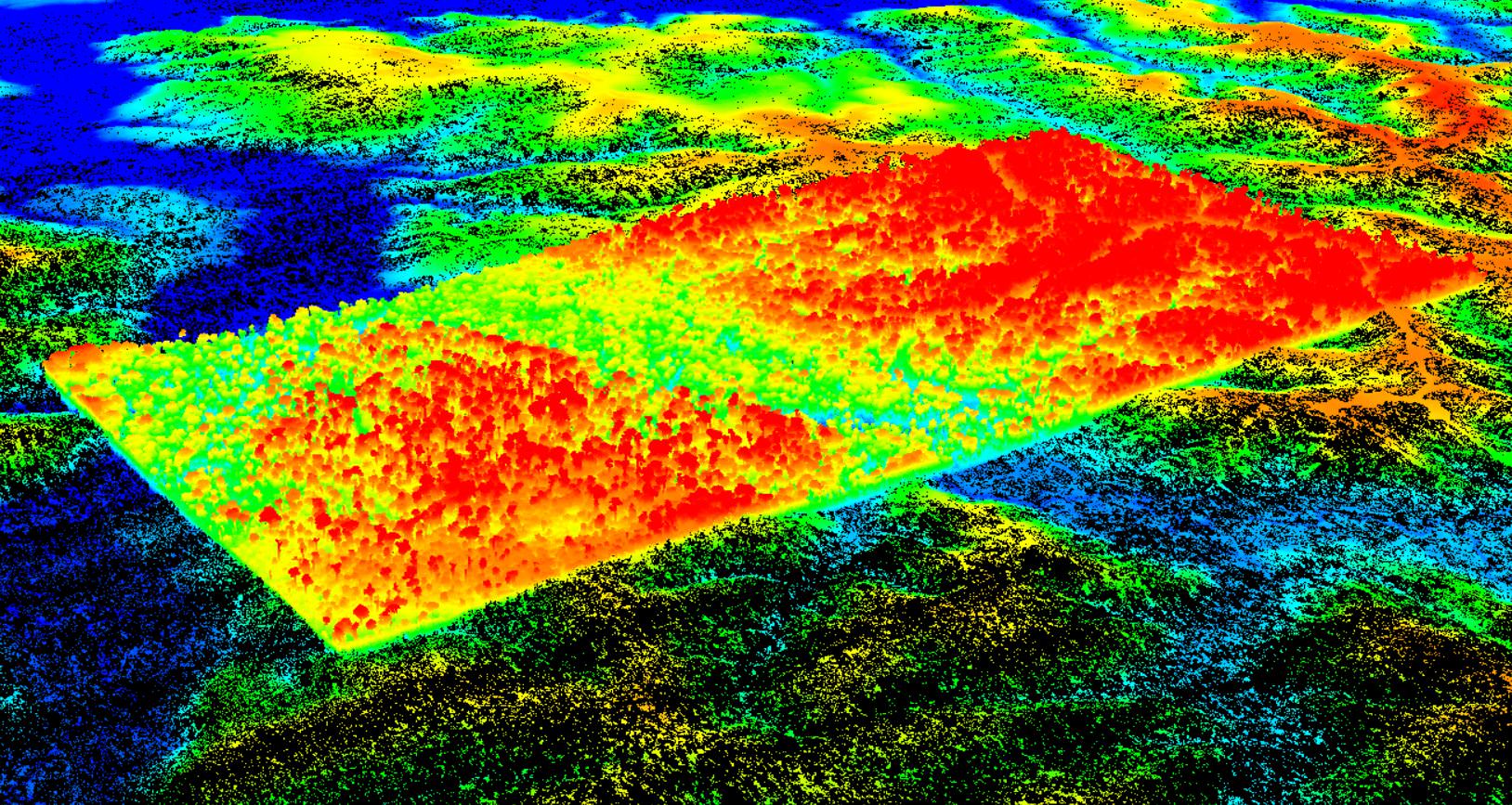
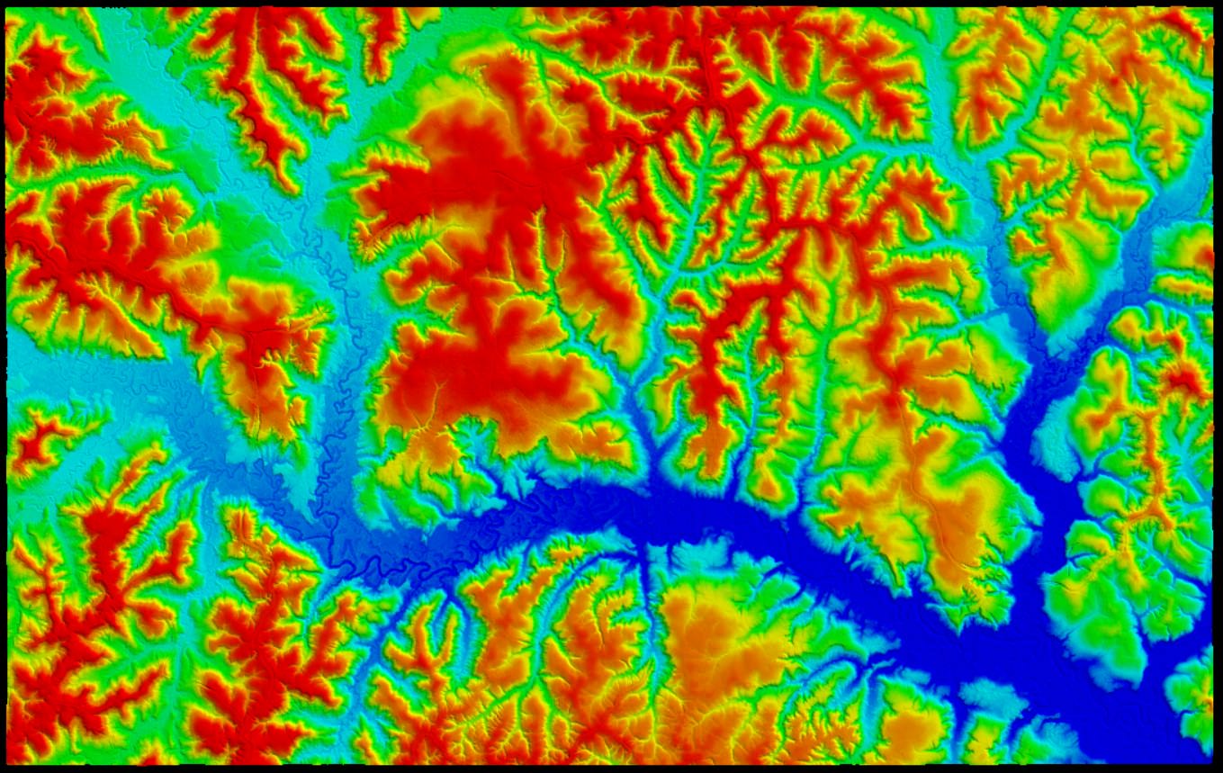
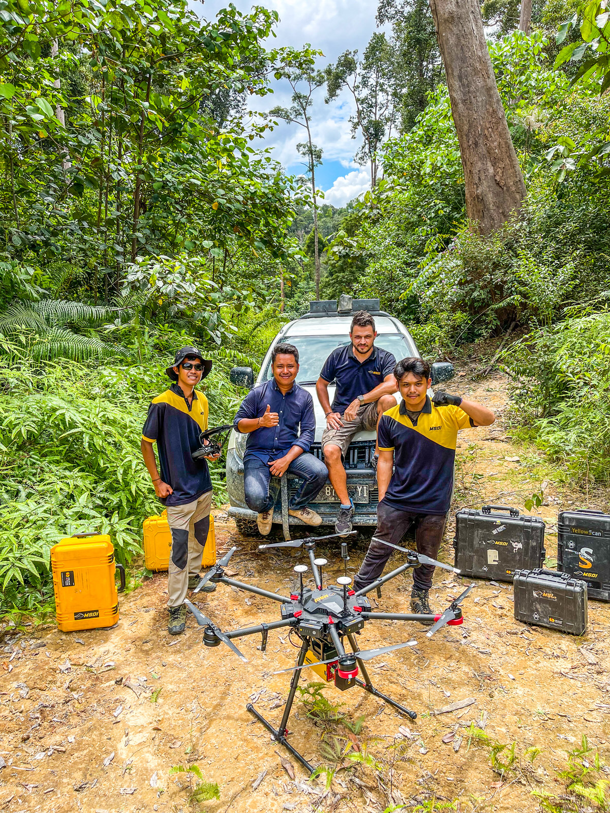
3D LiDAR asset inspection by drone / UAV 3D mapping
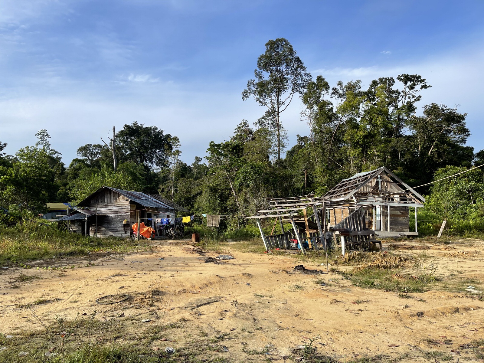
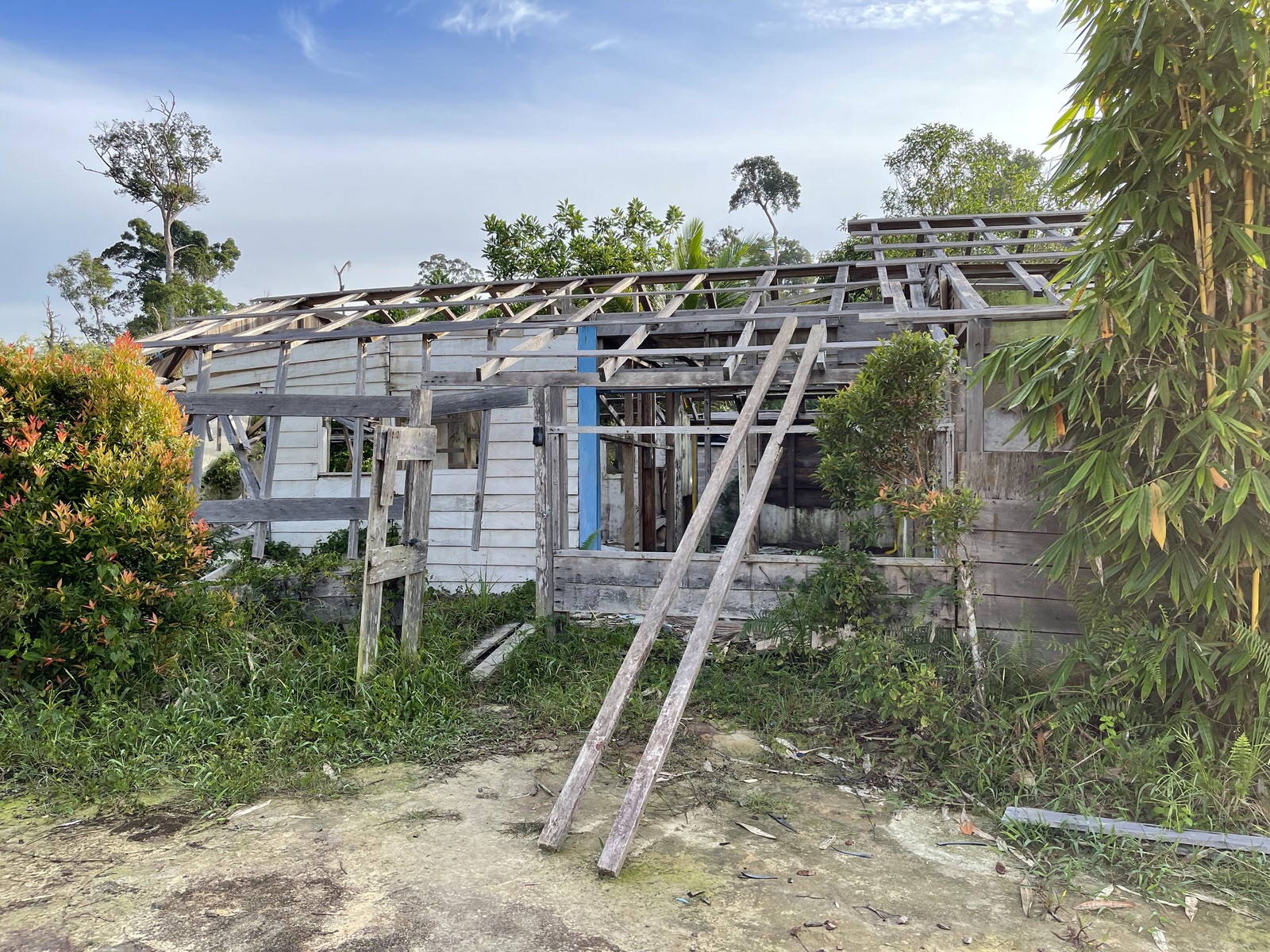
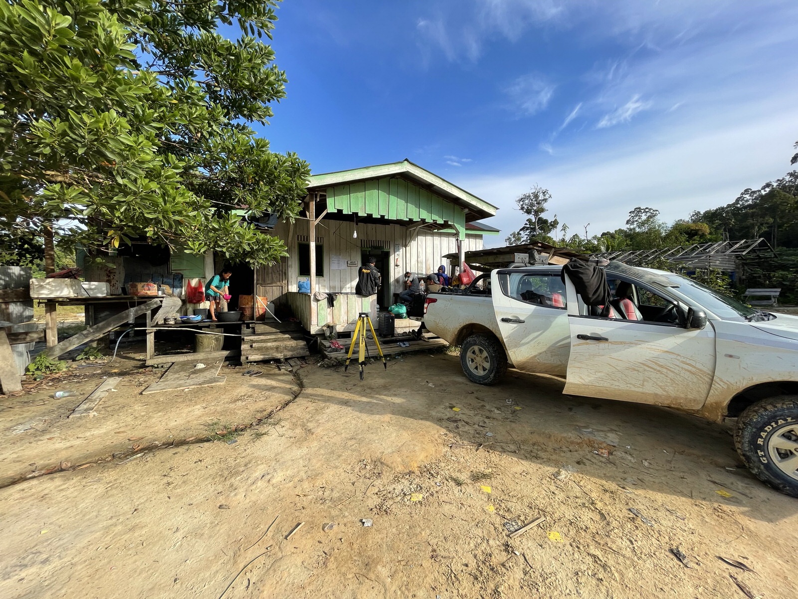
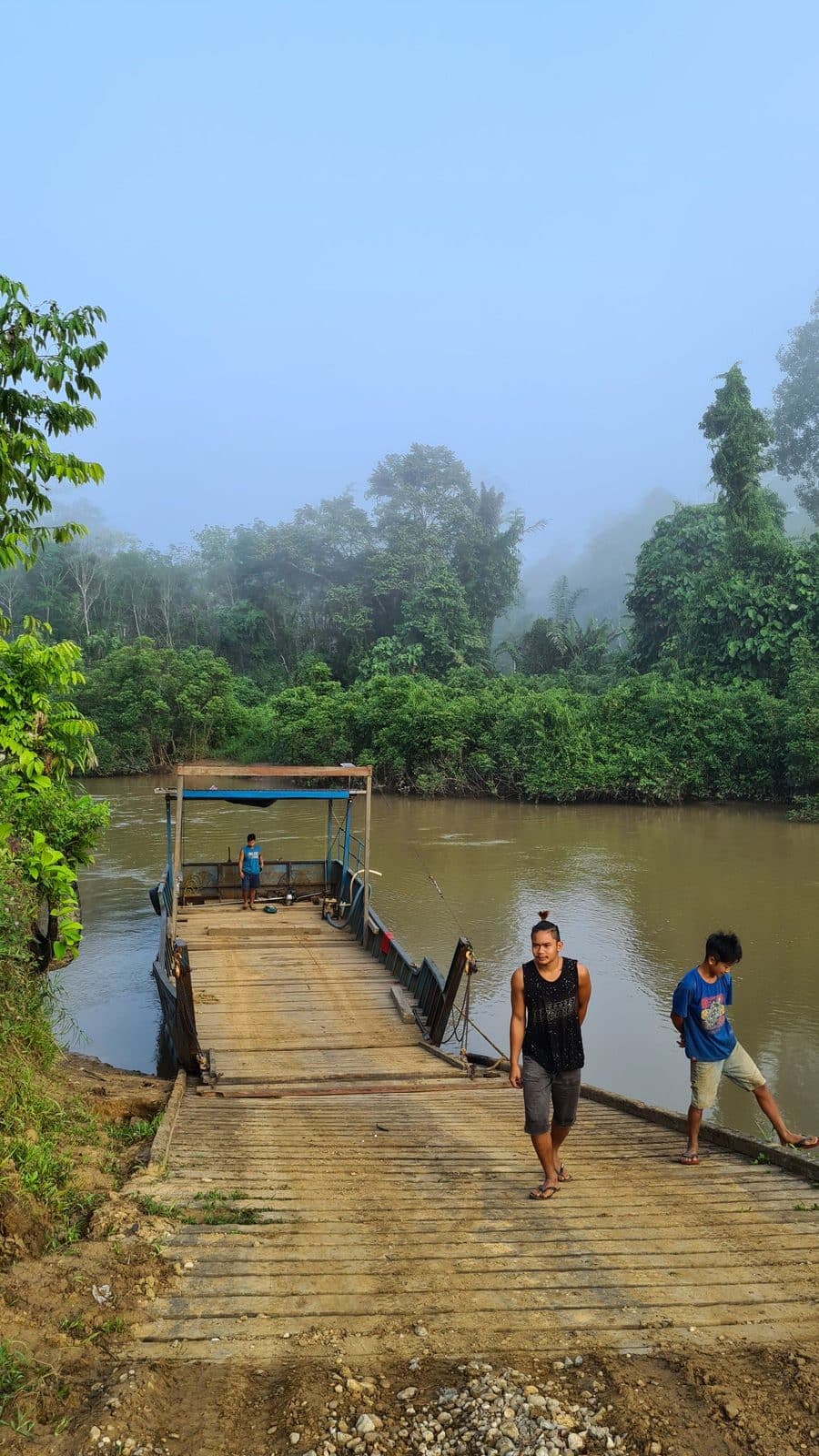
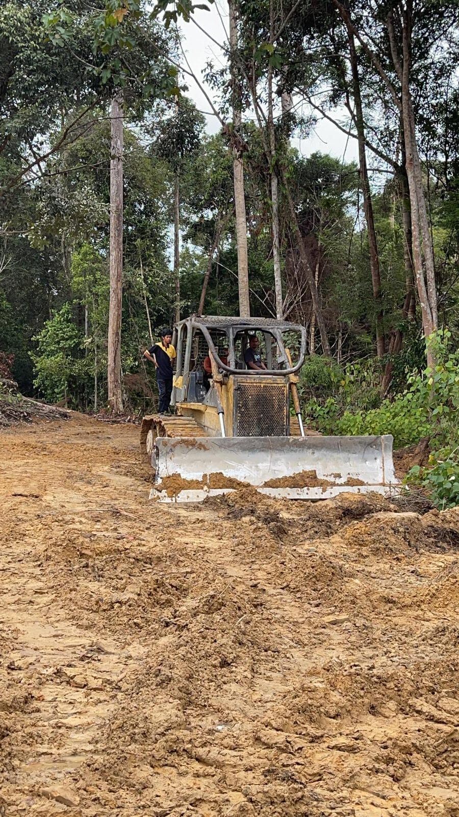
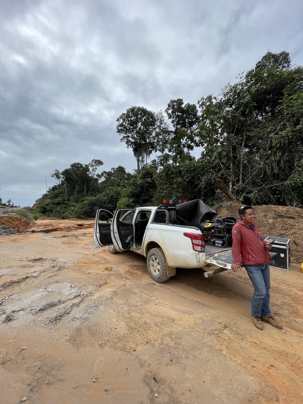
The trip and our mission began with a long 12 hour drive to reach the site. Here there is no road, but sandy paths, shaped by torrential rains. From one day to the next, the accesses may have completely changed. There is also no electricity here…at least not via power lines…workers living on the site have to use a generator only at night to power essential equipment such as flashlights, batteries for work tools and a few bulbs to be able to cook and enjoy some social exchanges.
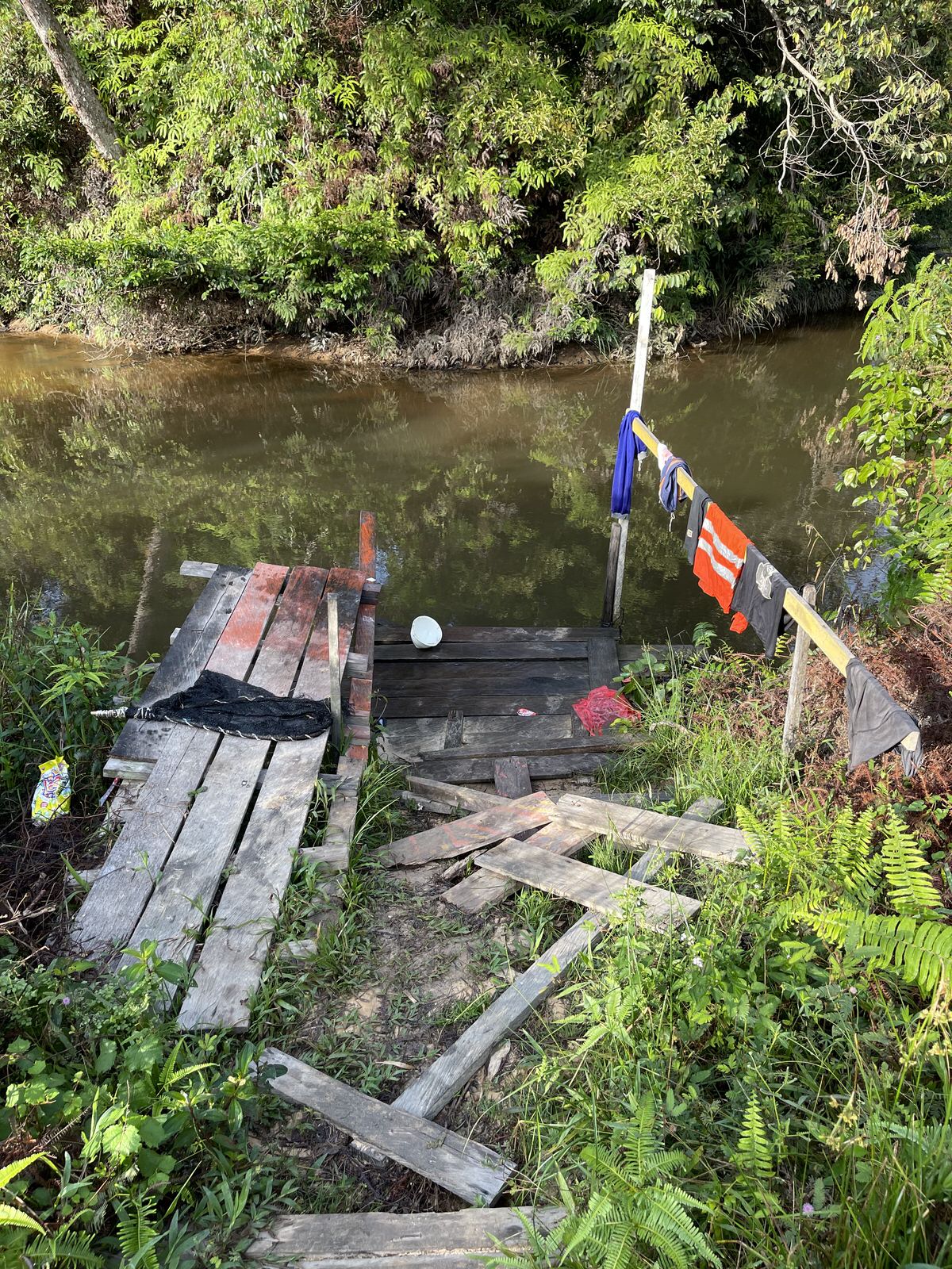
In this type of camp, you must forget all expectations of comfort: the river will be your five-star bathroom for the rest of your stay and the 3 cm thick mattresses will give you nights you will remember for a long time ( your back will also remember it). We share the common areas and the dormitory with about 10 other workers. The menu will mainly always be the same: mud fish and white rice, or mie goreng, for connoisseurs.
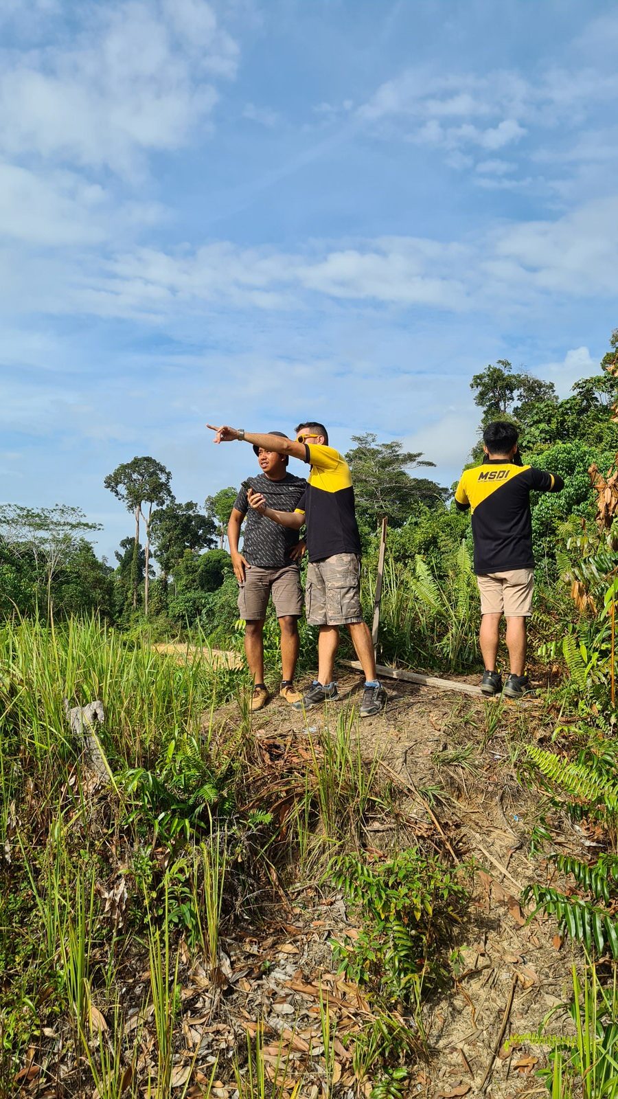
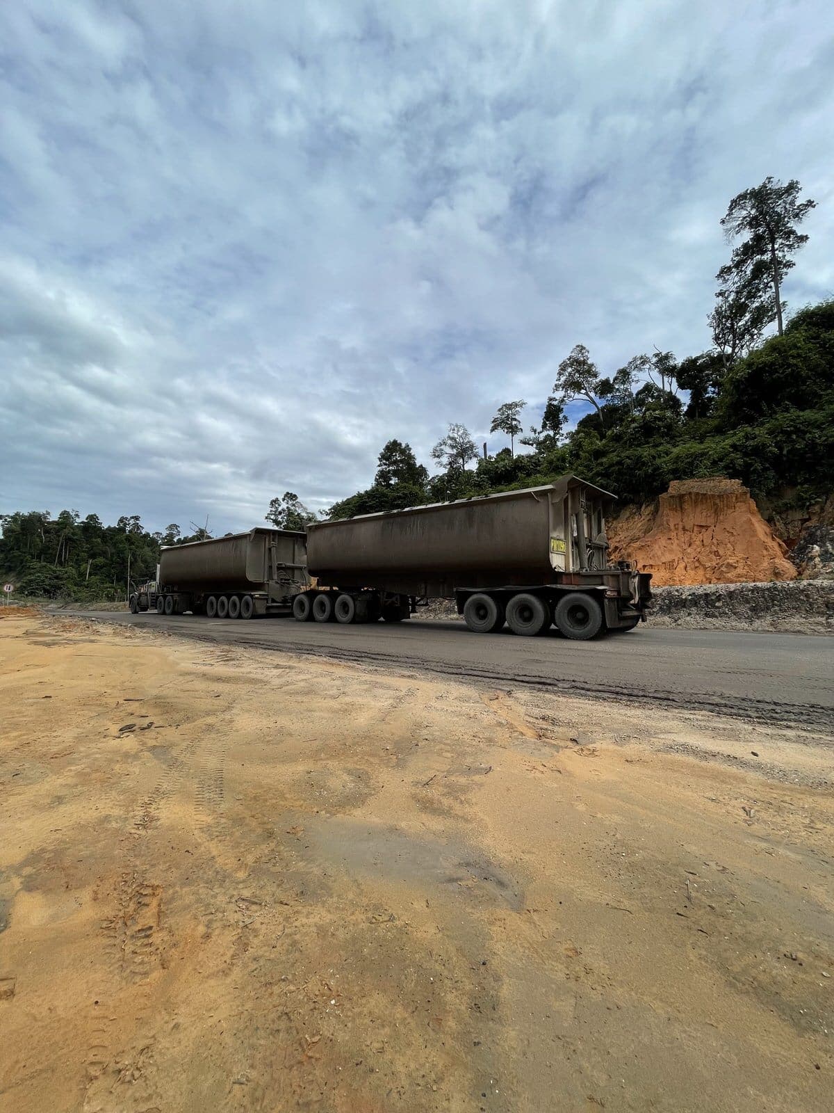
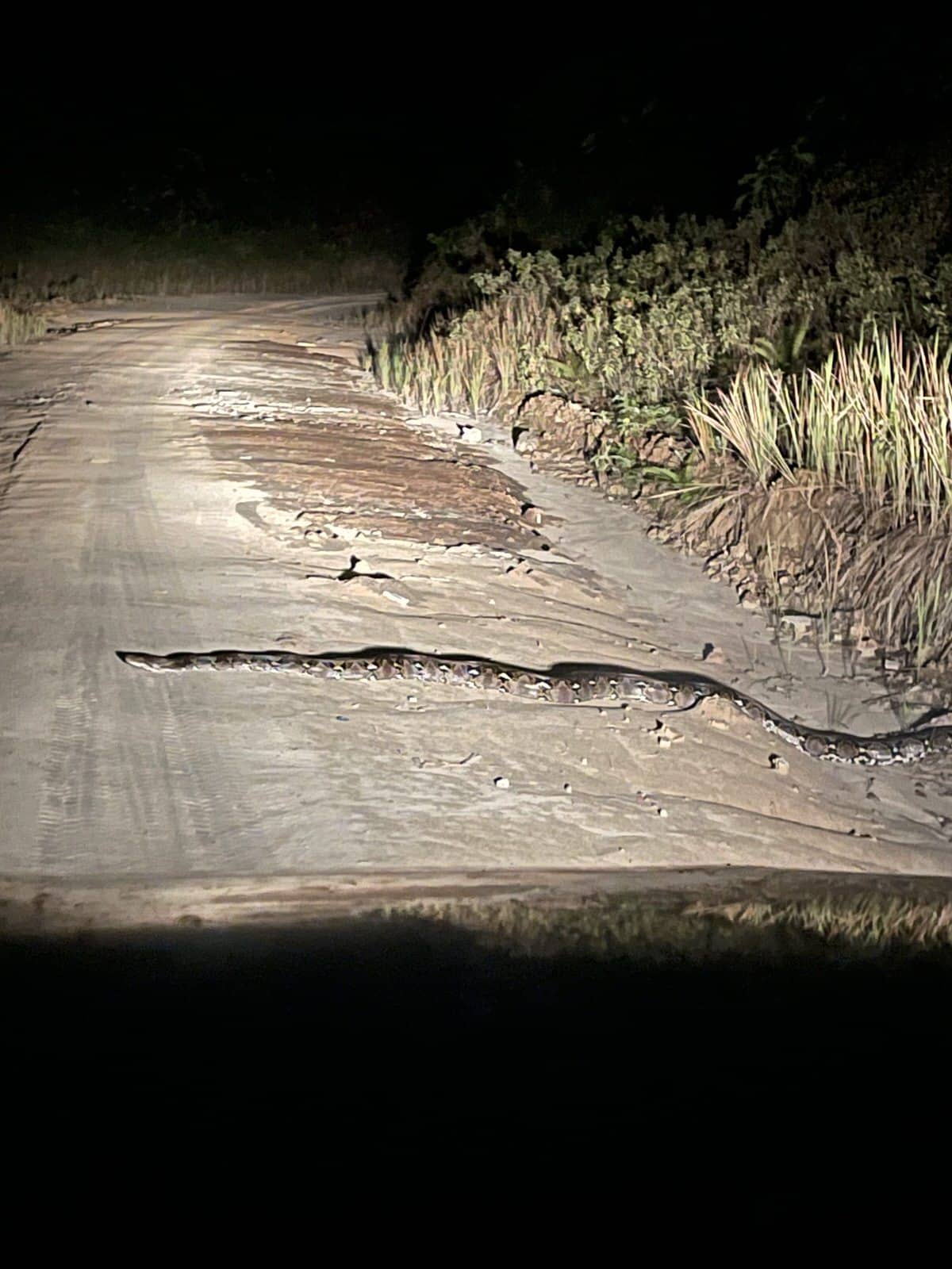
The first day of our mission we discover in more detail the paths that we will take. The night before had hidden some details from us. In reality, these paths were actually the width of the car and were framed by huge “gullies / ruts” on each side, 3 or 4 meters deep and threatening to collapse at any time, dragging our car down at the same time. As much to say to you that it is necessary to have the heart well attached and an absolute confidence in the driver, because all the wheels did not touch the ground all the time.
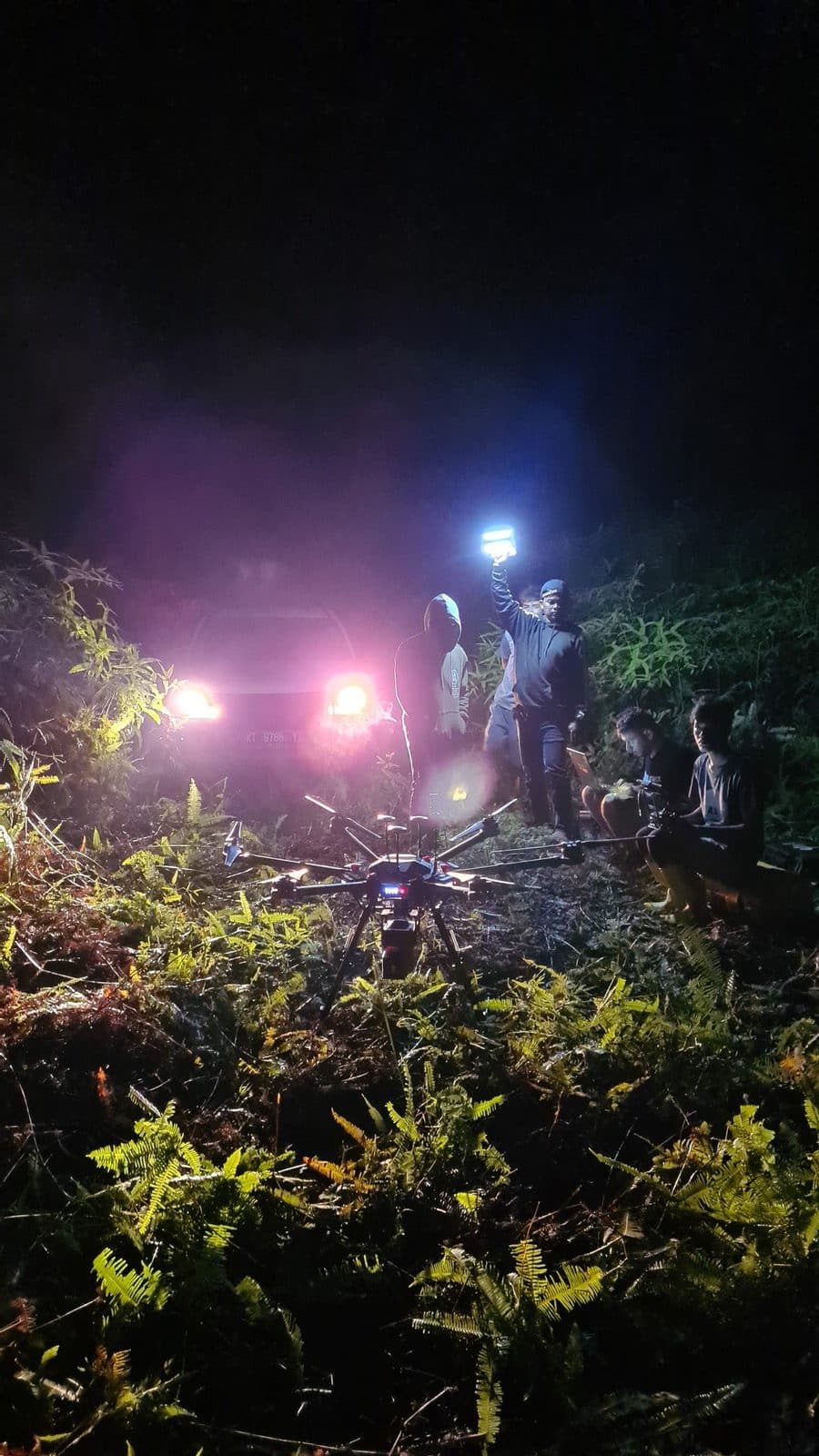
After getting used to the terrain, we can finally start working. What a pleasure to see the drones take off on a new project and start acquiring this precious data!
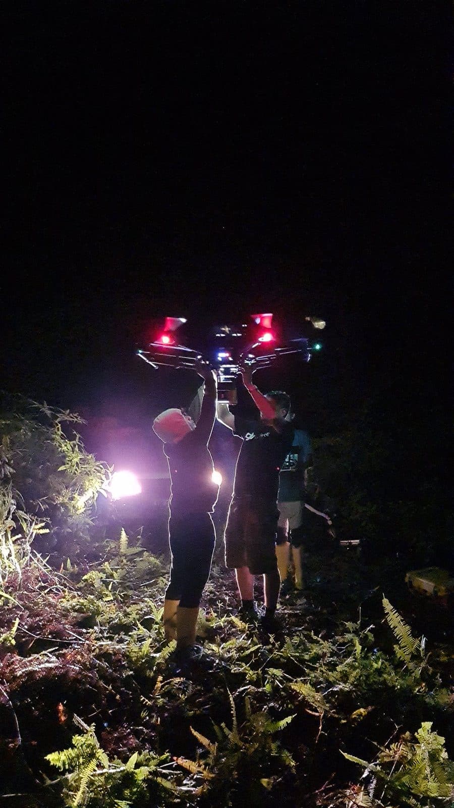
The working days will go by without any real problem. Obviously, you have to constantly keep an eye on the surrounding clouds to try to unseal any risk of sudden downpours and thus keep the equipment safe. Luck will have smiled on us, because in the end, we only lost two days of work, for lack of bad weather. The main problems were the logistics and the supply which consumed us several hours each time, because the nearest village is around 2 hours drive from our camp.
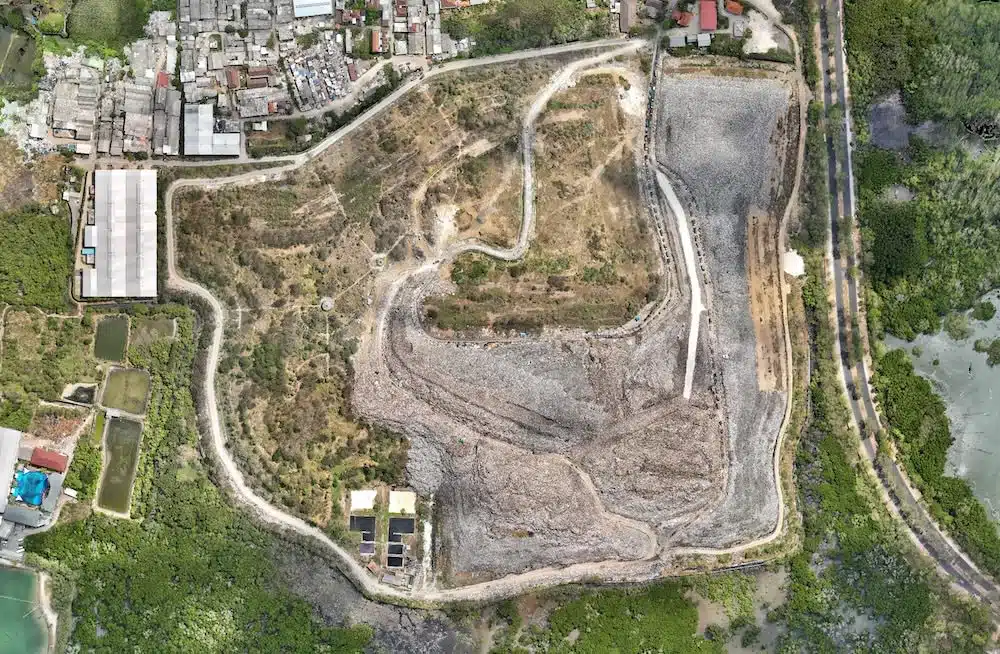
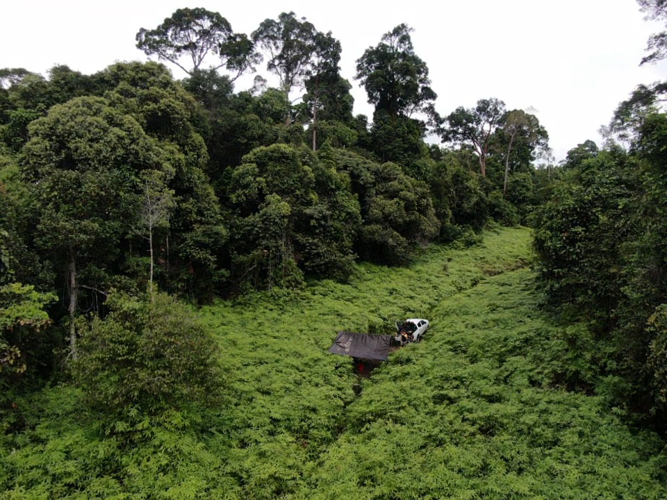
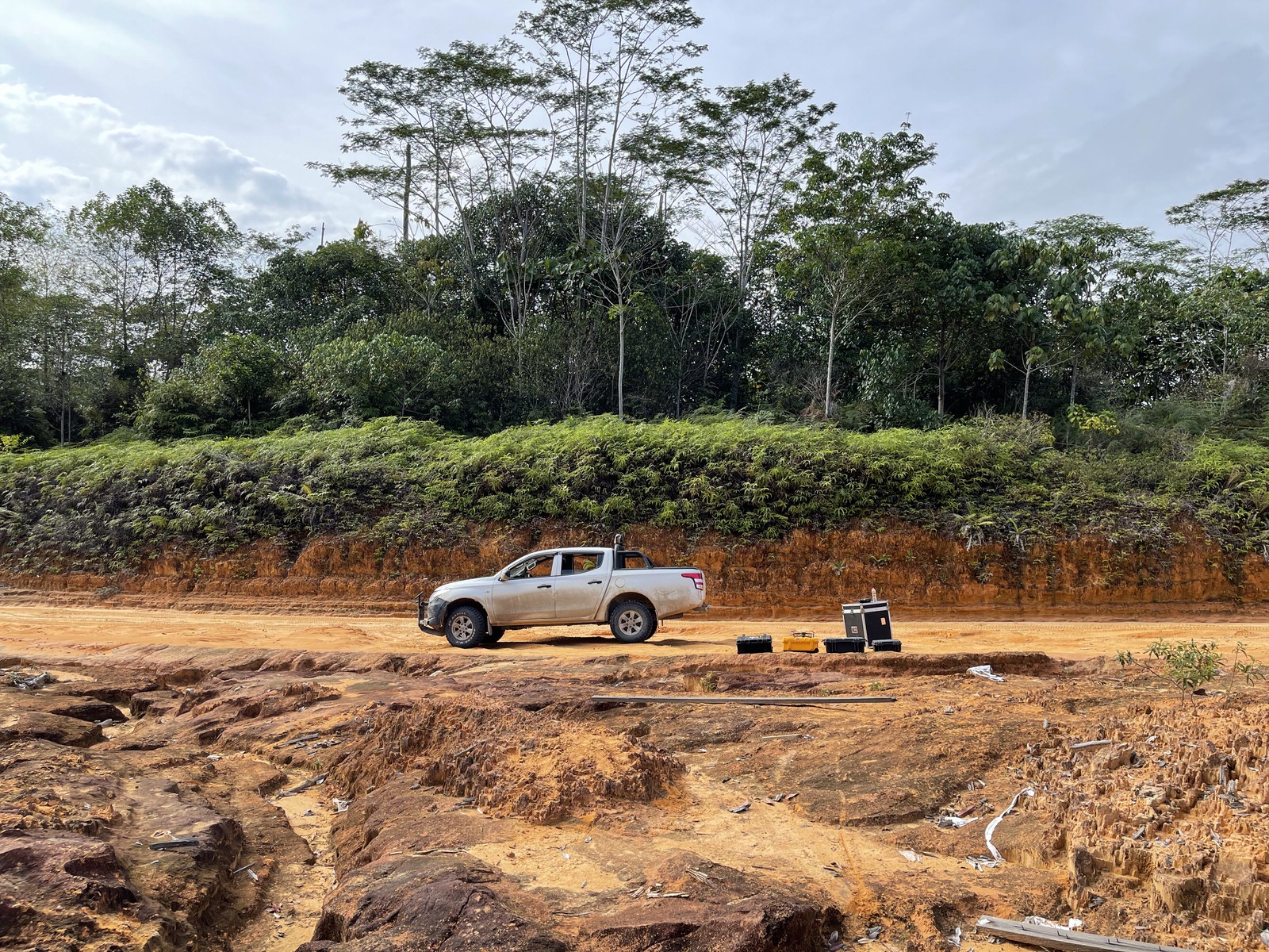
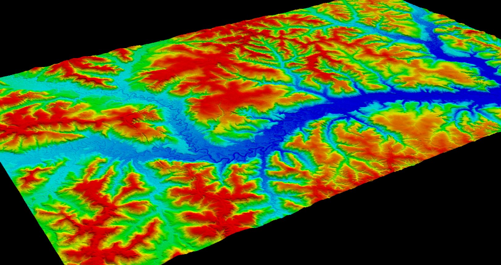
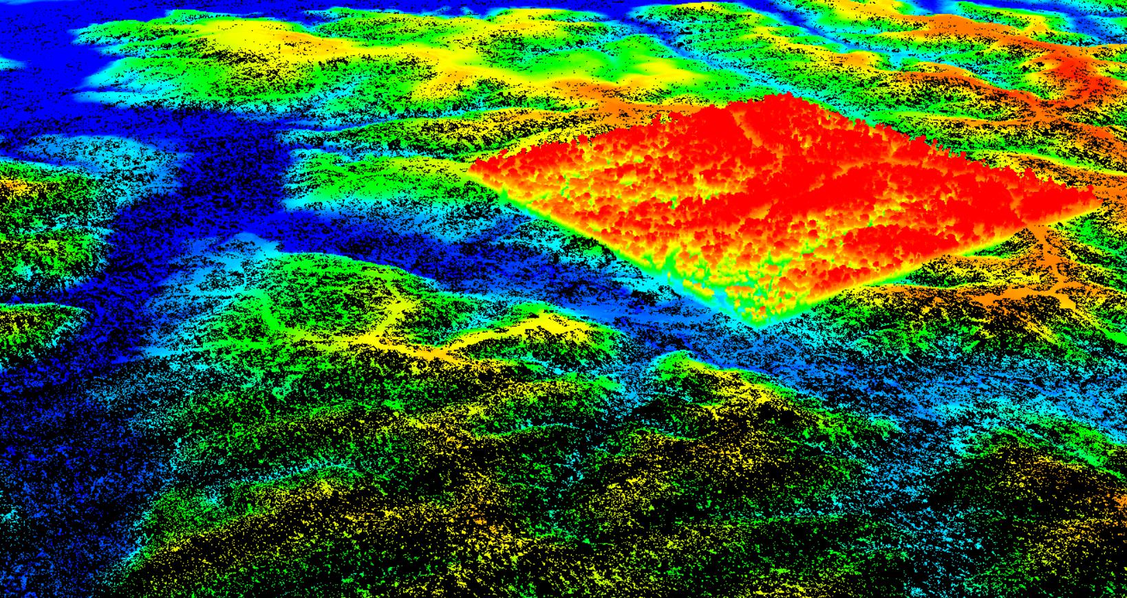
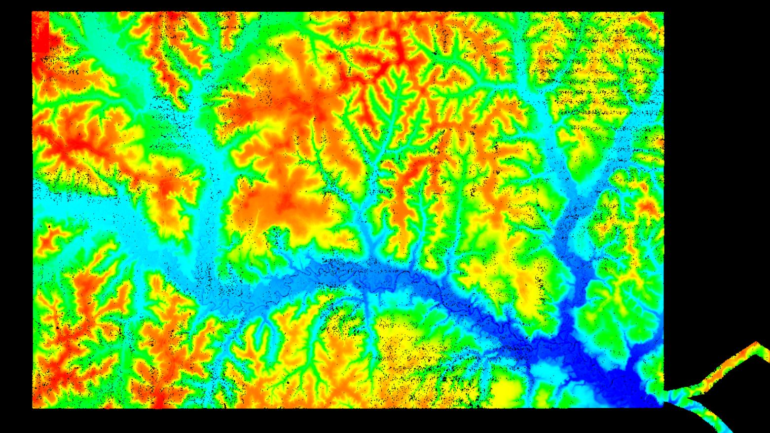
In total we will have stayed 14 days on site and it will have taken no less than 94 flights spread over 11 days to complete the acquisition of the 5000 hectares and the 20 km of transport road. But it was worth it, because the result is impressive. The resolution of the DTM is very detailed and our equipment was able to unlock all the secrets that the vegetation made impossible to explore.
In the end, we left with satisfied customers and lots of good memories, what more could you ask for? 🙂