
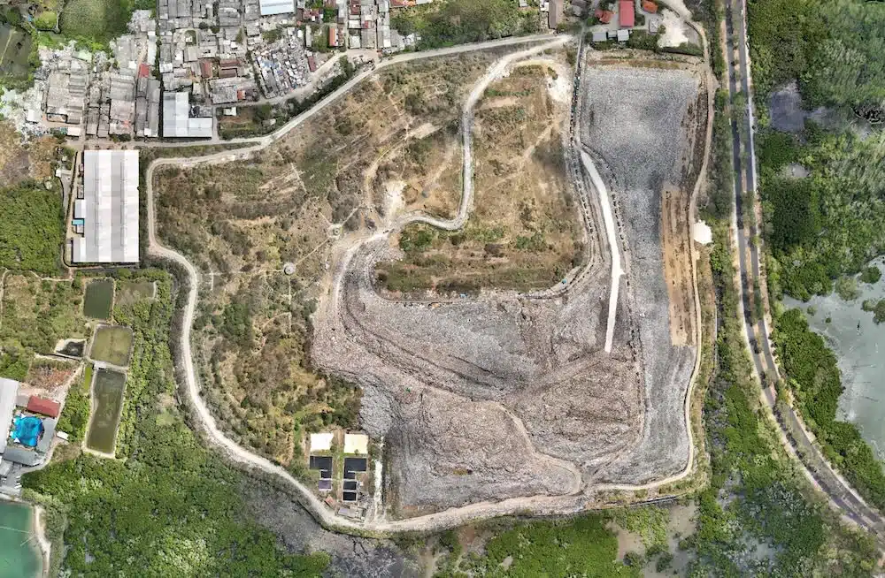
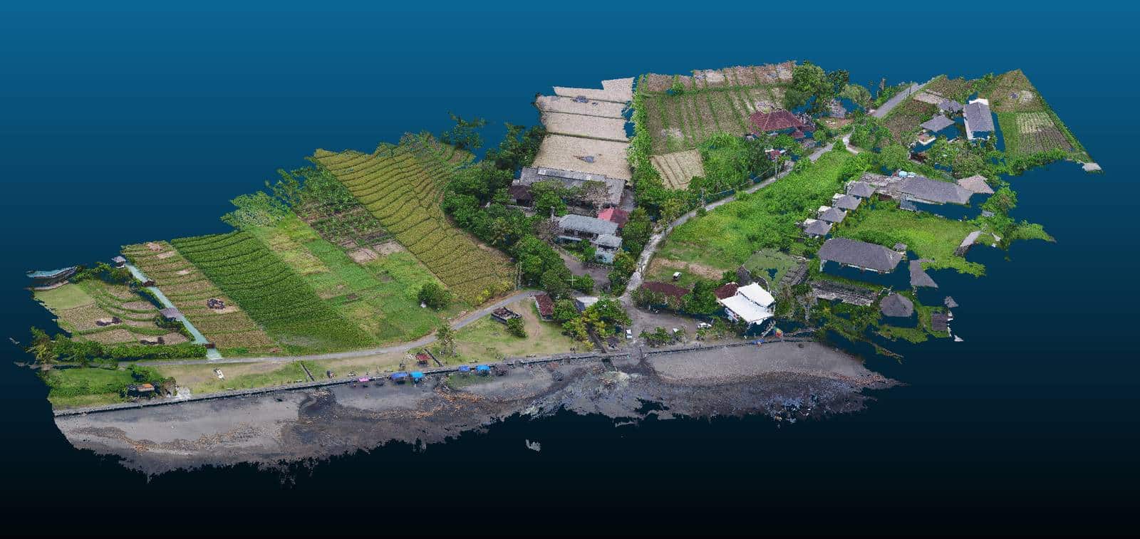
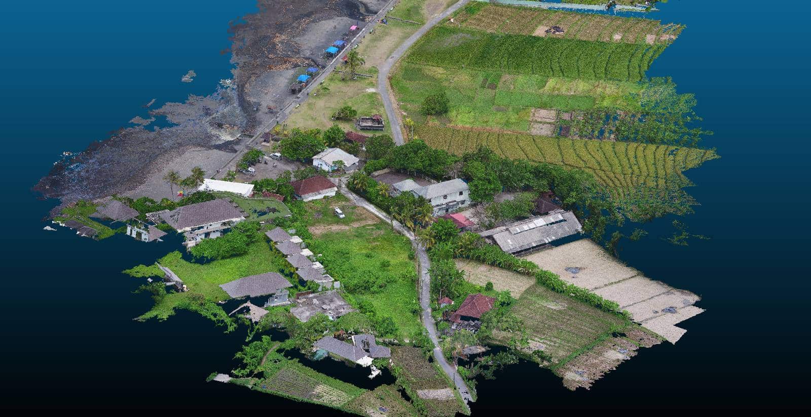
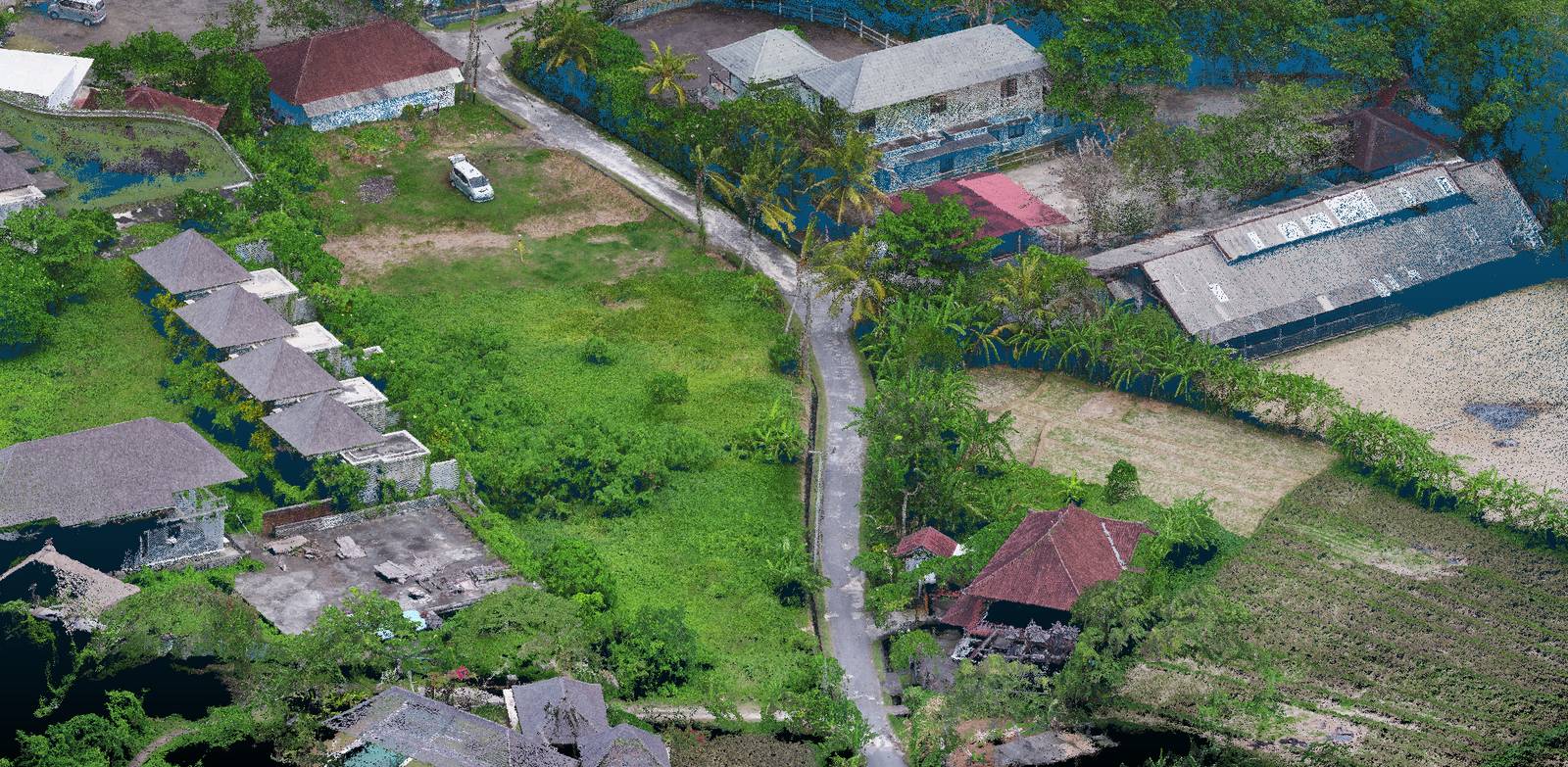
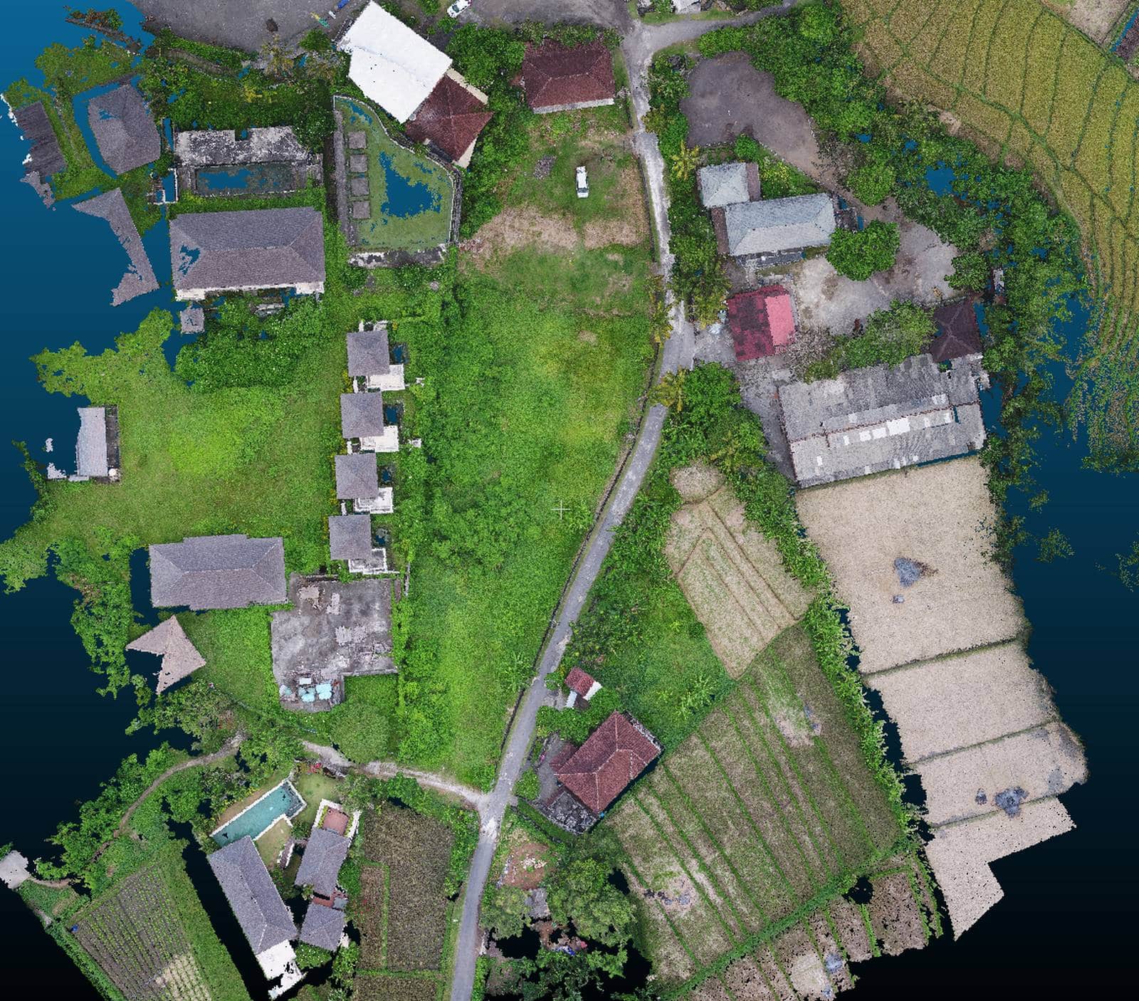
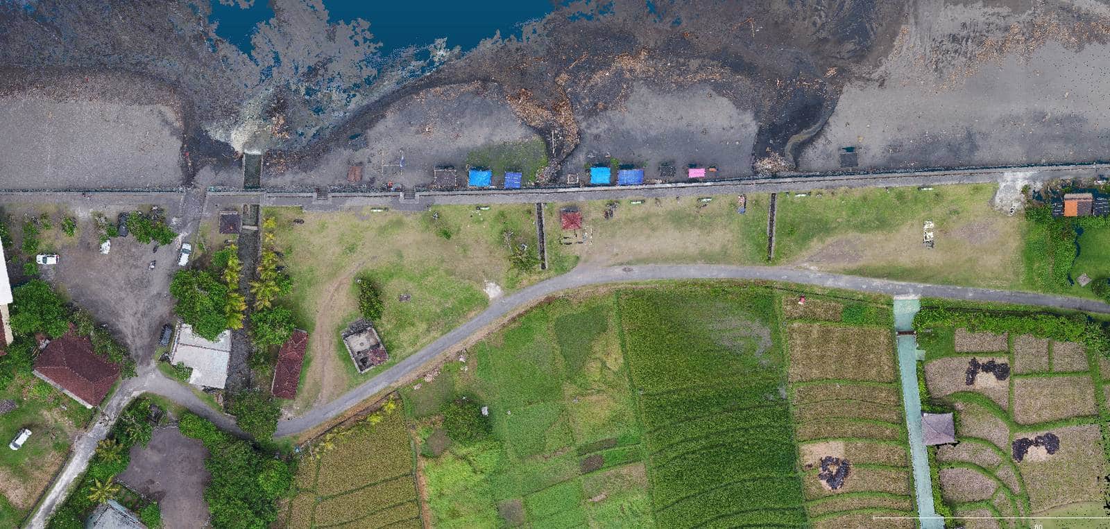
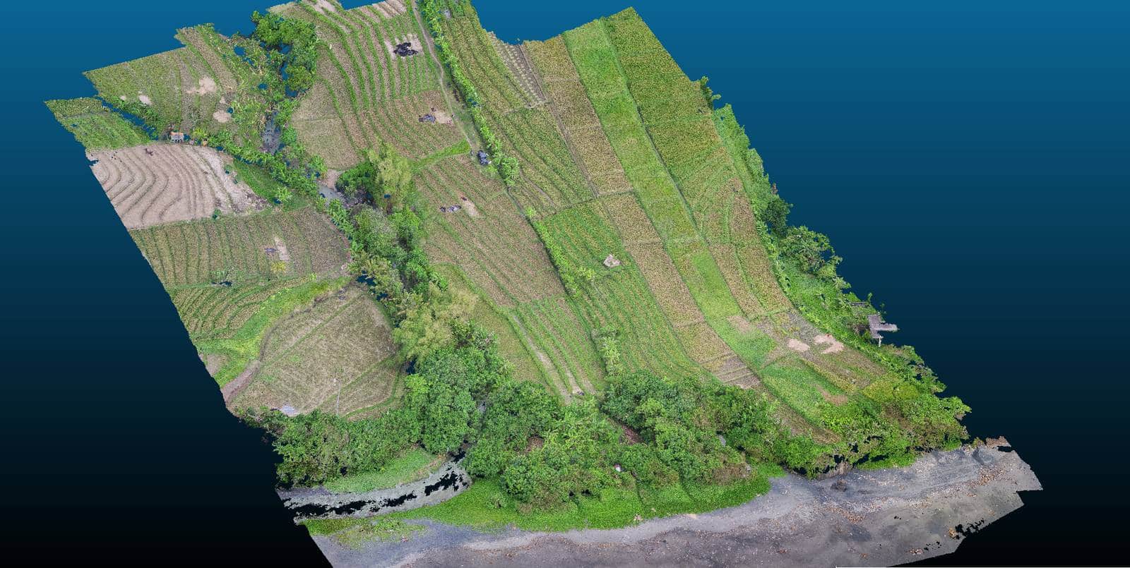
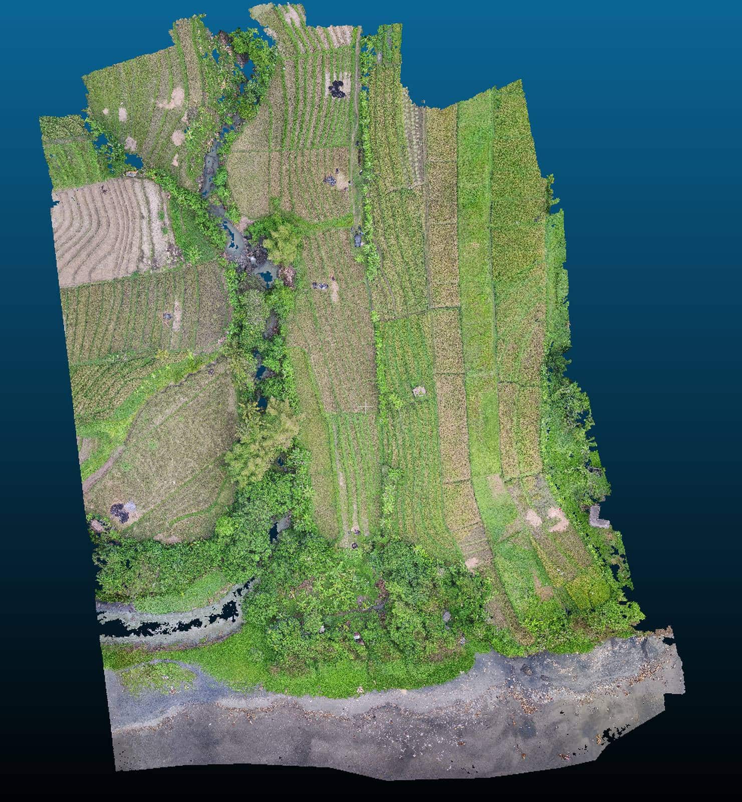
Fortunately, not all Bali investors have given up in the face of the Covid, and some of them are taking advantage of this somewhat quieter period to advance their projects. This is the case of our client located in the district of Tabanan in bali and who asked us to carry out the 3D plans of the environment for future works.
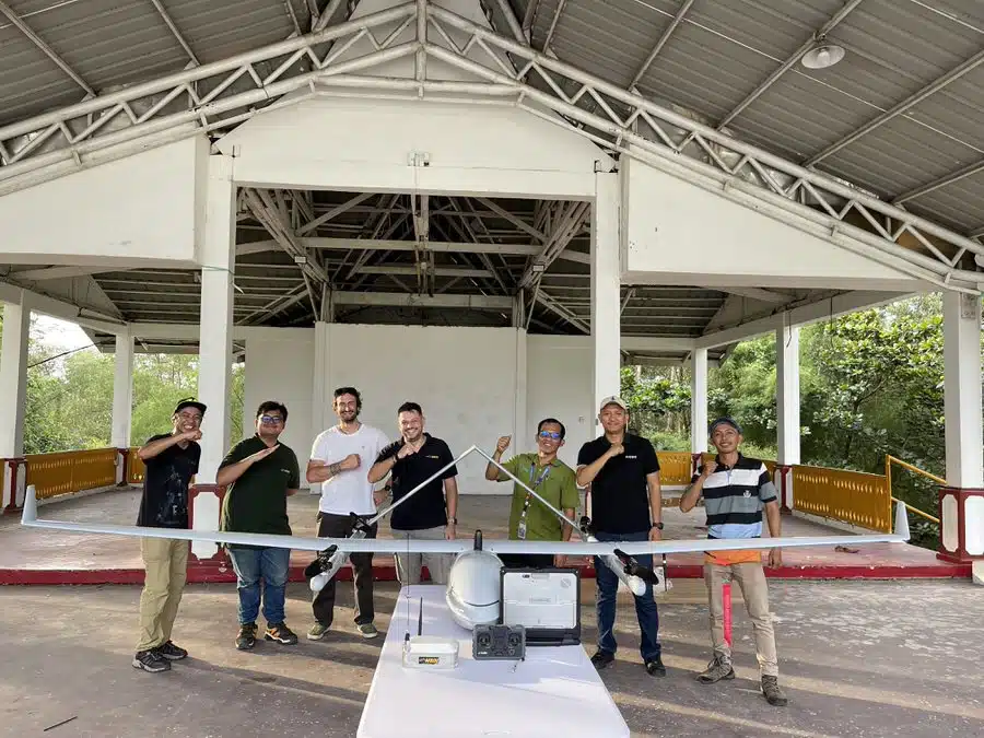
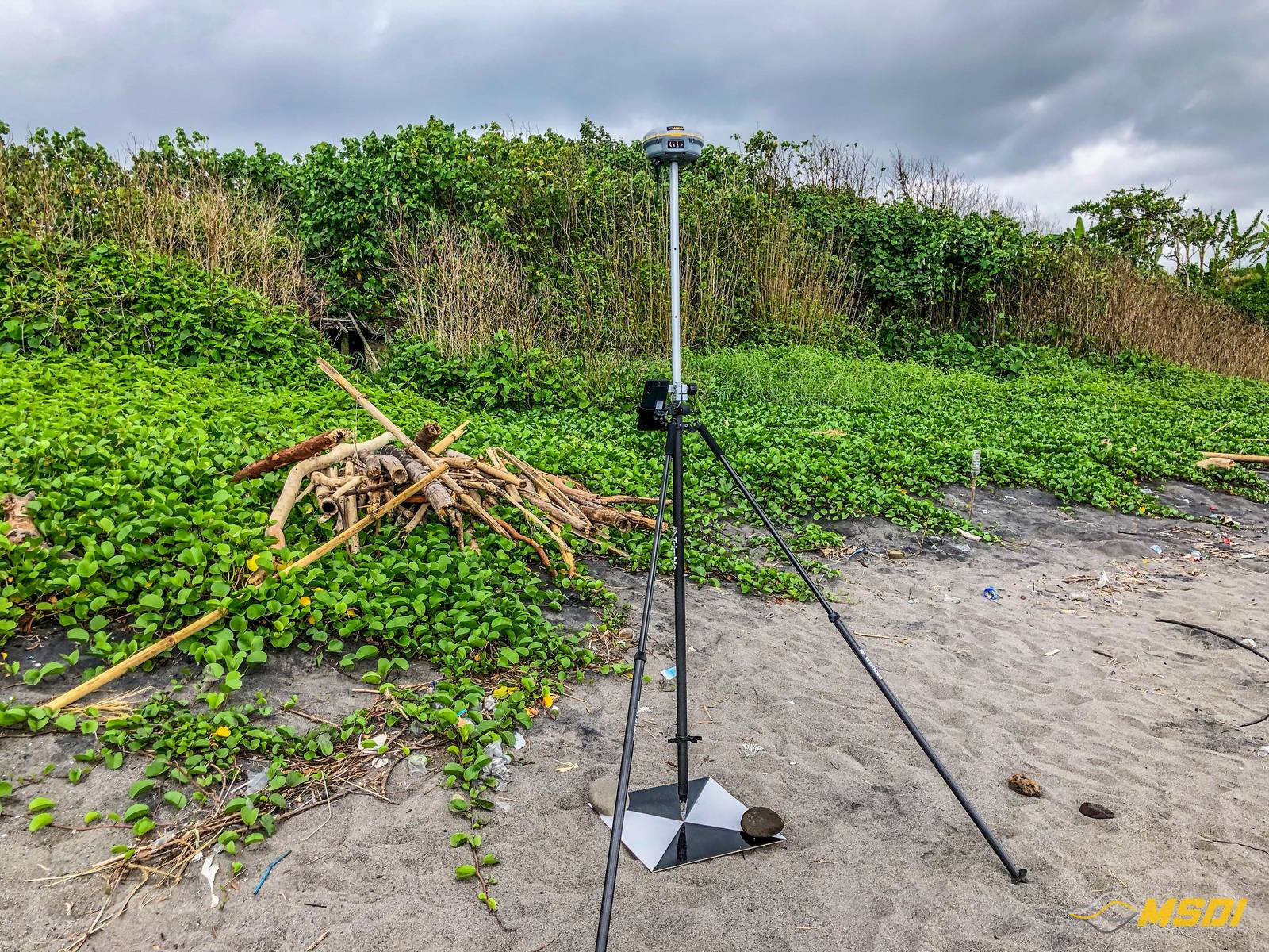
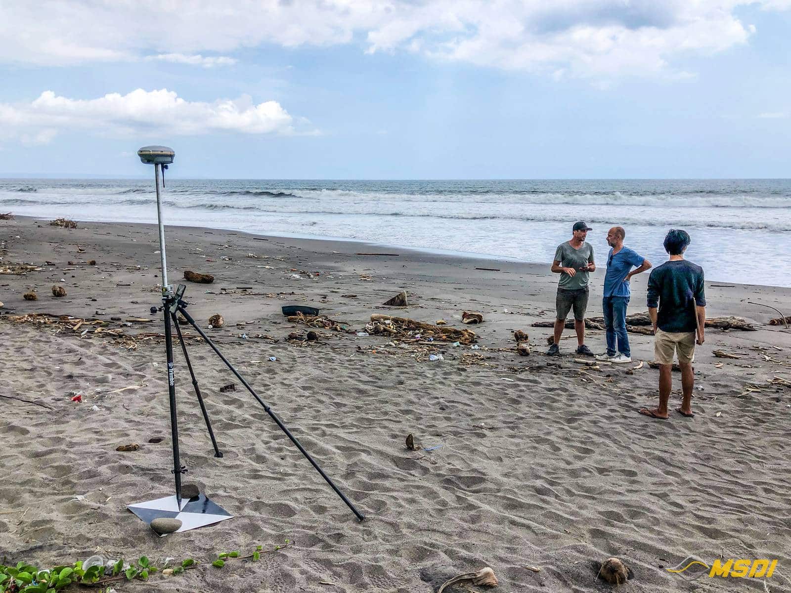
This time, no lidar, traditional photogrammetry, but we still calibrated the data acquisition thanks to the implementation of GCP (Ground control points) measured via the national BIG network and our GPS GNSS trimble antennas.
In total, around 10ha were covered in less than 2 hours. Following this, we were able to generate the DTM, DSM and contour lines plans for the future architects who will work on the project.
Client
Private investor
WHAT WE DID
Photogrammetry mapping / UAV 3D mapping
