
Discover the amazing success story redacted by yellowscan about our last project in Temboan, North sulawesi
Continue readingDiscover the amazing success story redacted by yellowscan about our last project in Temboan, North sulawesi
Continue reading
Fortunately, not all Bali investors have given up in the face of the Covid, and some of them are taking advantage of this somewhat quieter period to advance their projects.
Continue reading
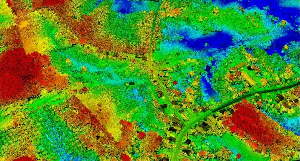
It was fast but it was nice. We did a mapping of approximately 20Ha in the area of Surabaya this october. The project included the data acquisition by lidar and photogrammetry.
Continue reading
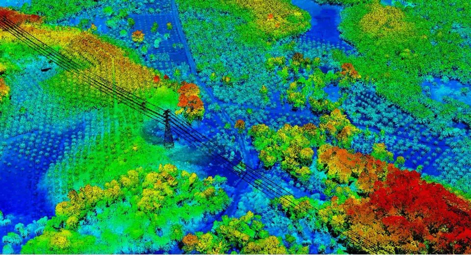
Another project successfully completed in record time. We were fortunate to be commissioned for a 25Km corridor mapping by Lidar and photogrammetry.
Continue reading
With the aim of rebuilding a hotel from zeros, we intervened in Ubud to establish a 3D plan of a land with existing facilities and buildings…
Continue reading
With a great pride and respect, MSDI was invited by the Deputy Governor of Penajam Paser Utara (PPU), Ir.H.Hamdam to discuss a number of programs in the future and the way our system works in a professional manner. With all MSDI representatives in Kalimantan
Continue reading


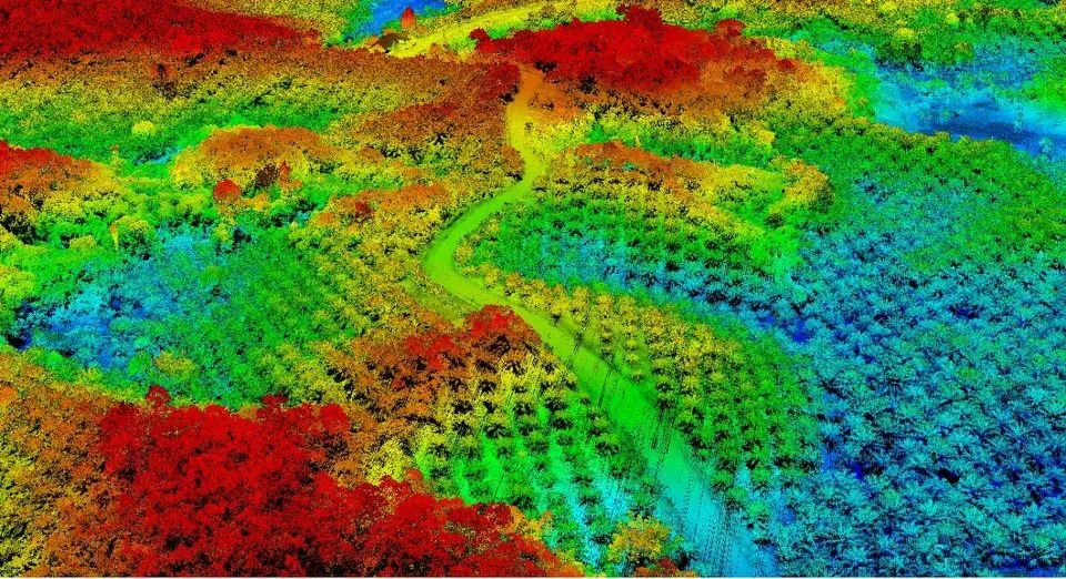

Another project successfully completed! We have just finalized a lidar mapping of 1100Ha in the Babulu region, a few kilometers from Balikpapan, located in the South-East of Kalimantan (Borneo).
Continue reading
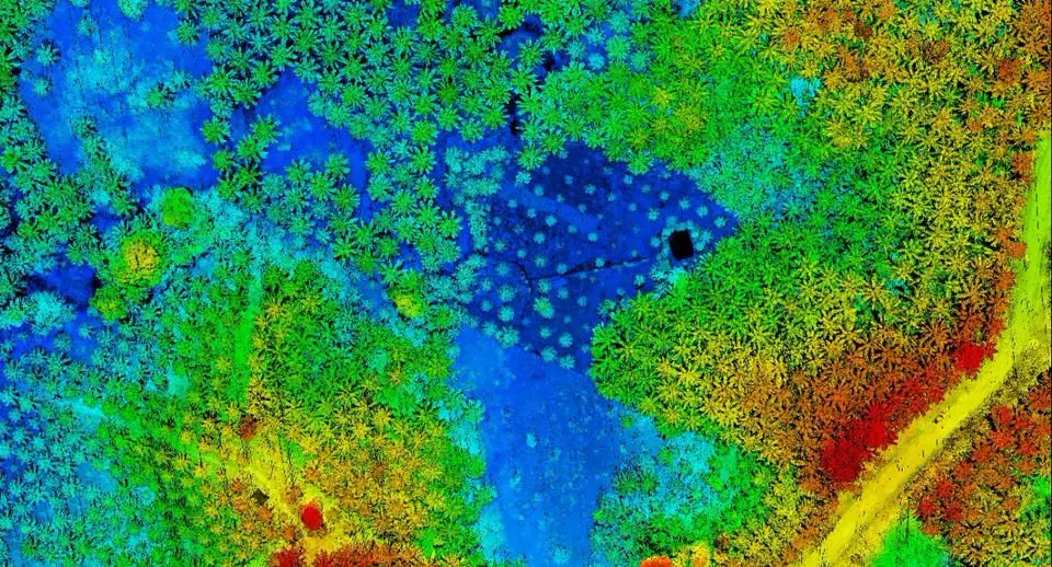
Archeology researchers love lidar data because it allows details that are almost impossible to see with the naked eye, let alone stay on the ground.
Continue reading