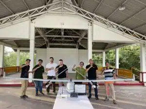
1100Ha LiDAR Project – Mine and forest management – Kalimantan
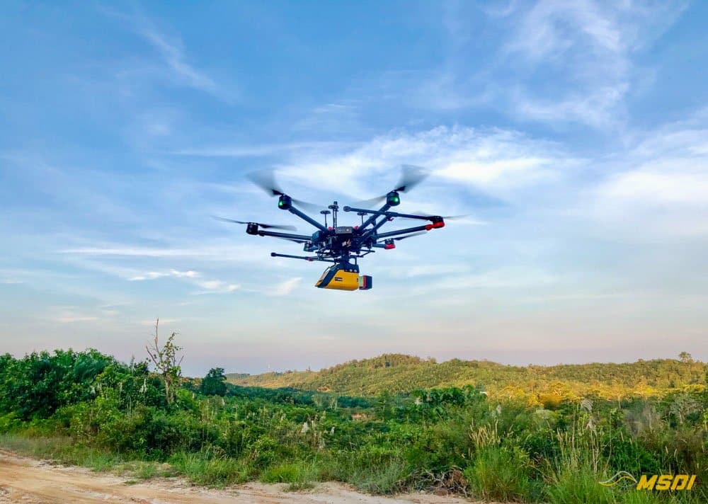
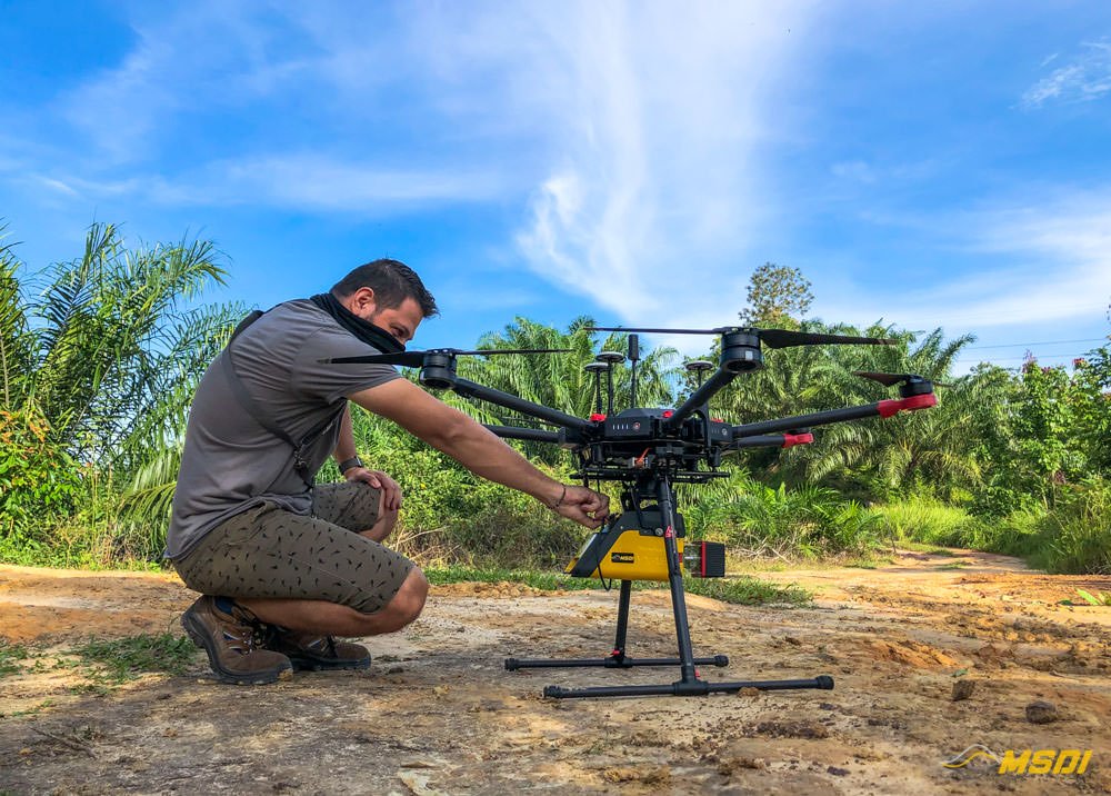
Another successful project! We have just finalized a 1100Ha lidar mapping in the Babulu region, a few kilometers from Balikpapan, located southeast of Kalimantan (Borneo).
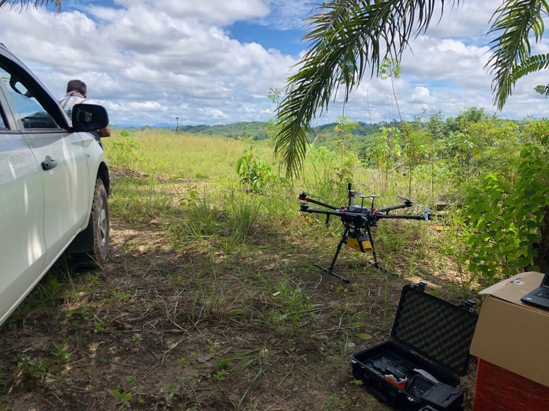
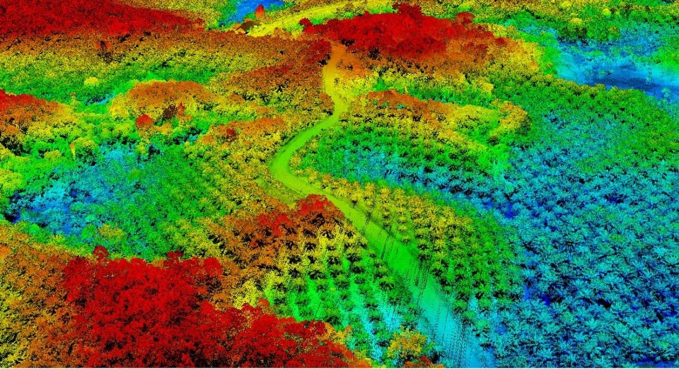
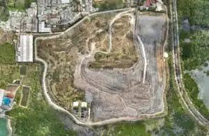
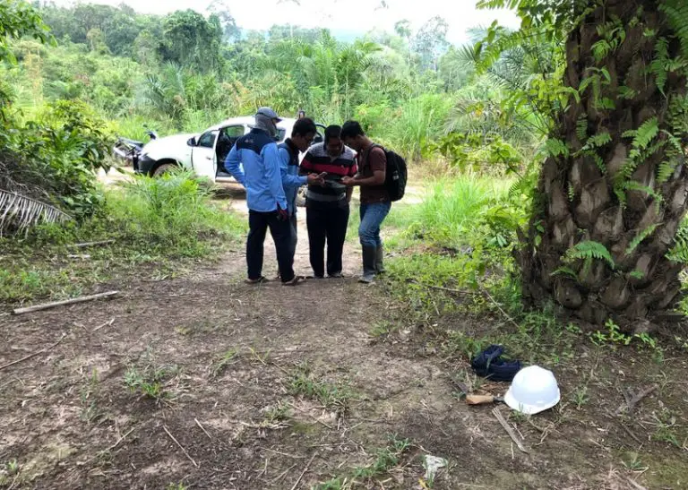
The mission consisted in carrying out a topography for the development of a future coal mine, replacing an existing plantation and exploitation of palm oil. The terrain was difficult to practice in certain places and mainly covered with vegetation, the drone mapping solution was therefore the best choice for this type of mission.

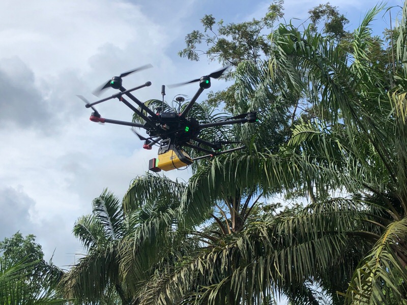
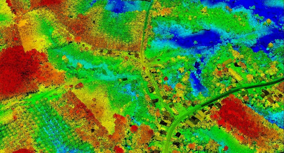
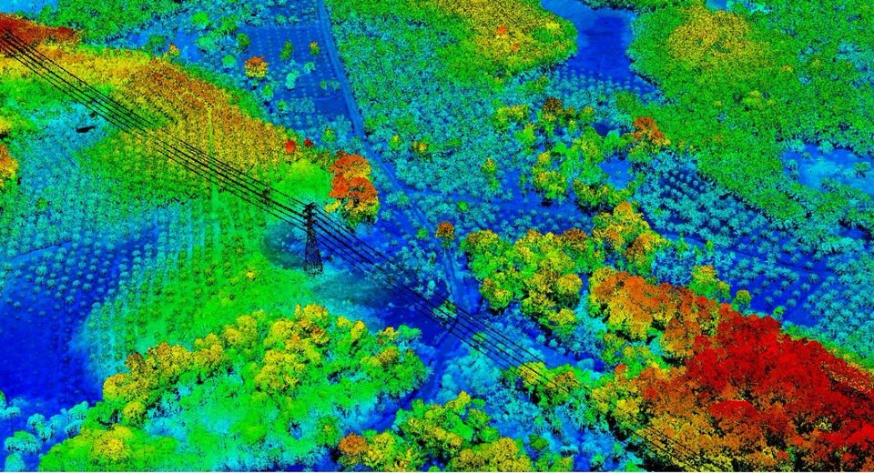
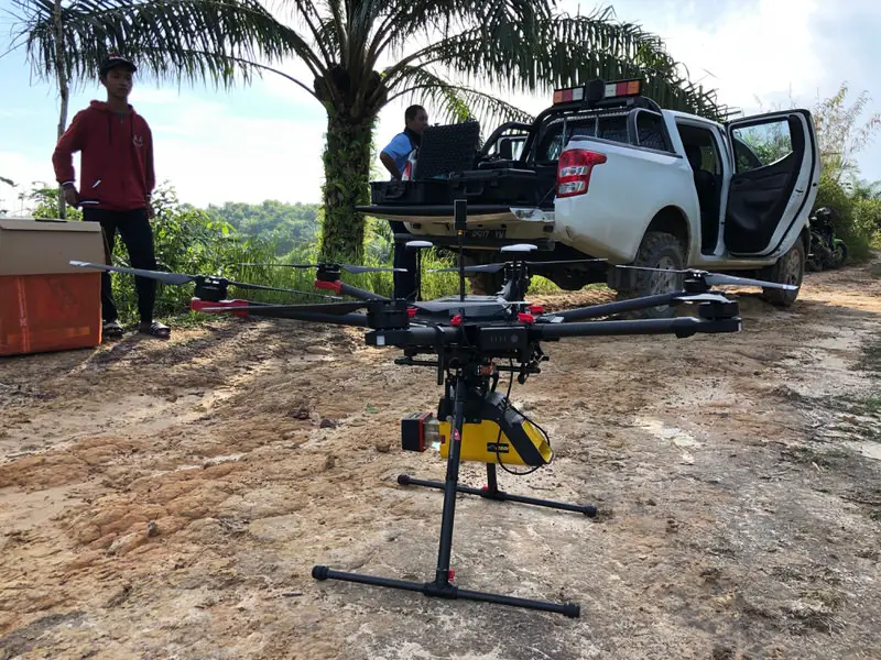
The Lidar allowed us to take advantage of all the advantage of this technology because we needed to generate a DTM (Digital Terrain Model). The presence of vegetation makes a conventional mapping by photogrammetry impossible because the ground was difficult to see from the air so the Lidar allowed us to be able to pass through this dense forest and generate a very precise map of the reliefs of the ground. Thanks to the DTM it is then possible to generate contour lines which will be very useful for the engineers who plan the project.
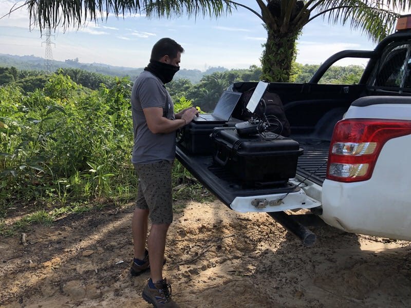
We completed the 1100ha project in just 4 days in the field and generated the maps on the fly to provide the customer with the data as quickly as possible. The average coverage was around 350 to 450 ha per day due to bad weather.
Thanks to LiDAR long range and multi echo, we have obtained very good results in density of undergrowth point. Our ultra compact and powerful solution also allowed us to intervene quickly on this last minute mission and deliver results in a very short time.