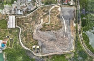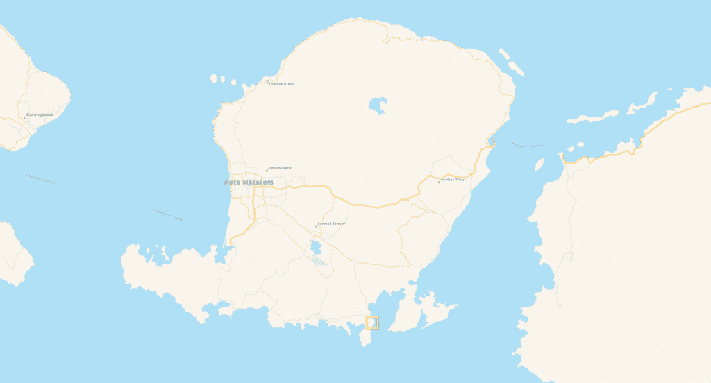
Real-Estate development Topography project – LOMBOK
In the south of lombok, we had a new project for a private investor who needed 3D mapping for his new land. The architect needed 3D model for simulate the new building. We provided different output like 3D mesh, point cloud, contour line, DTM et 3D video.
Customer
Private Real estate development owner
What We Did
Mapping / centimeter topography
Orthomosaic Map
High Resolution maps
Contour Line
rendering of 3D georeferenced contours lines
3D Point Cloud
georeferenced colorized point cloud
DSM
Digital Surface Model