
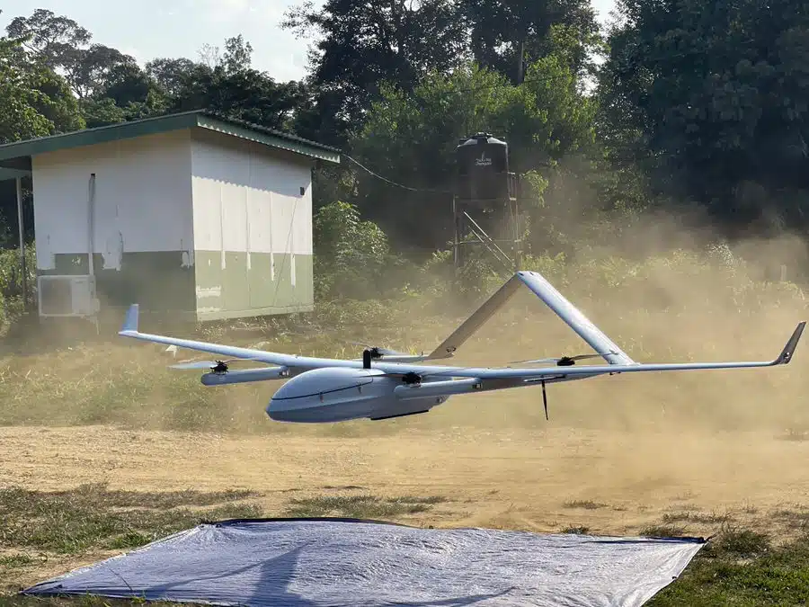
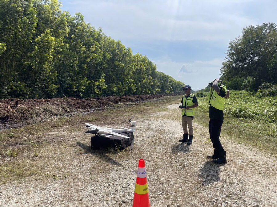
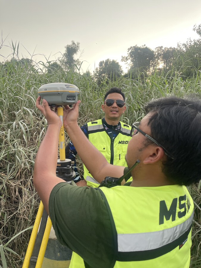
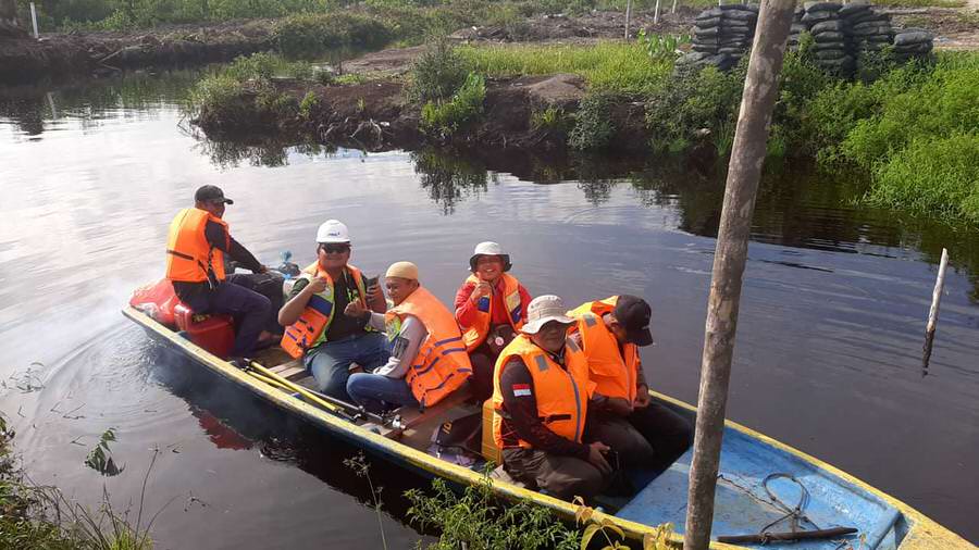
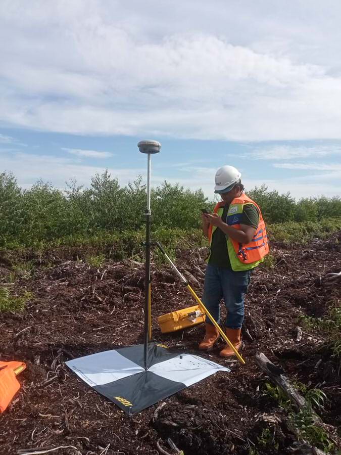
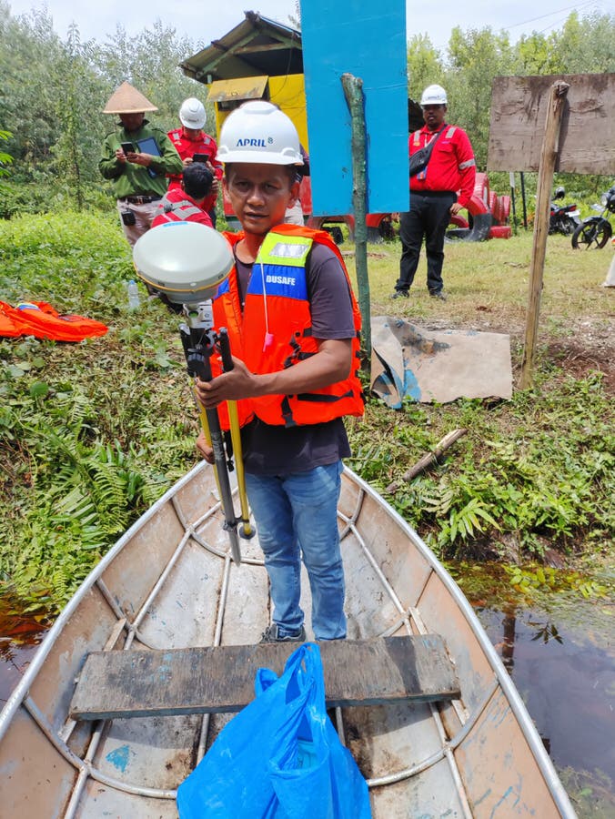
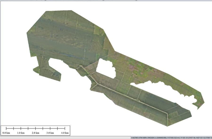
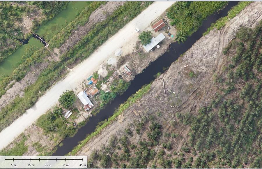
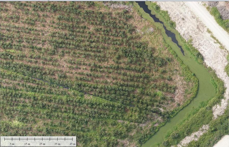
MSDI uses top-notch equipment that is well maintained and provides accurate and reliable data, fully meeting all prerequisites. The team managed to solve problems in record time and demonstrated the ability to work in harsh conditions. Despite the large volume of deliverables for this type of project, the organization and file naming were very clear and matched exactly what was discussed at the beginning of the survey.
Many thanks to the MSDI team for their hard work and efforts.

Julien C.
Project Manager @ Total Energies
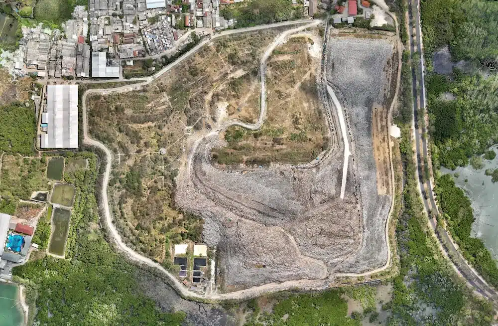
As Director of MSDI, I am proud to have contributed to this landmark project, which strengthens the development of green energy and demonstrates the potential of large-scale renewable initiatives in the region. We hope this project will inspire other countries to accelerate their transition toward sustainable energy. With its exceptional solar potential year-round, Indonesia is uniquely positioned to become a global leader in renewable energy and climate action, and we look forward to supporting many more initiatives of this kind in the future.

Arnaud Denisot
Director MSDI

