Large Scale LiDAR Survey Using VTOL UAVHigh-Performance Mapping Across Indonesia
Industrial-Grade Large Area LiDAR Mapping
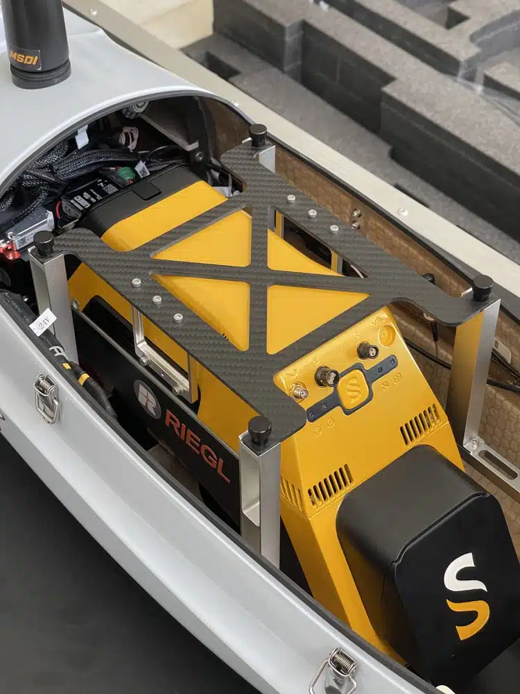
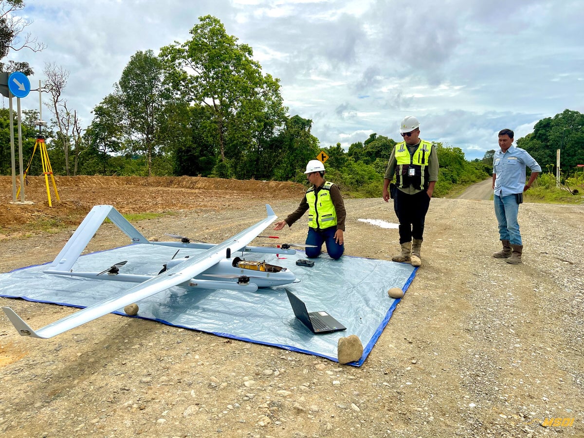
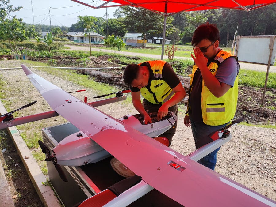
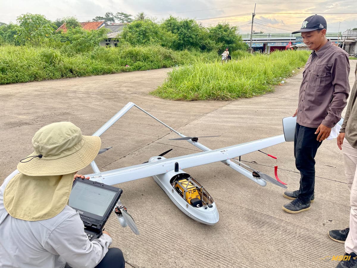
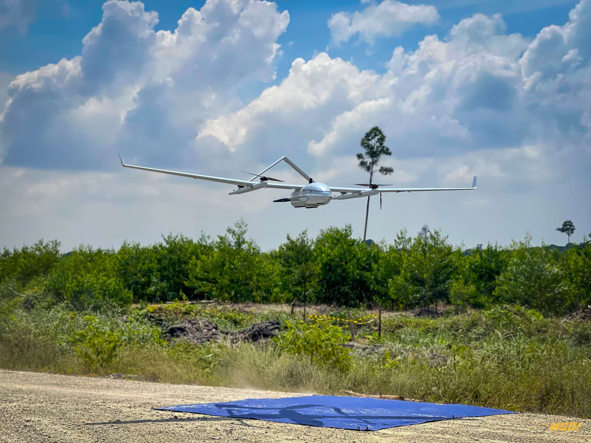
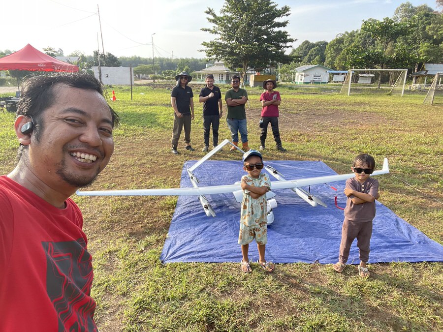
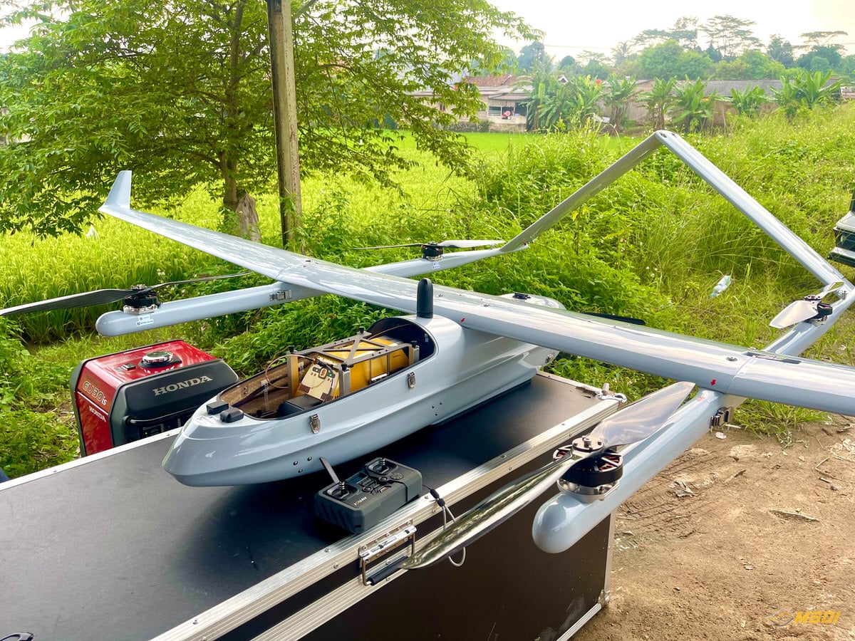
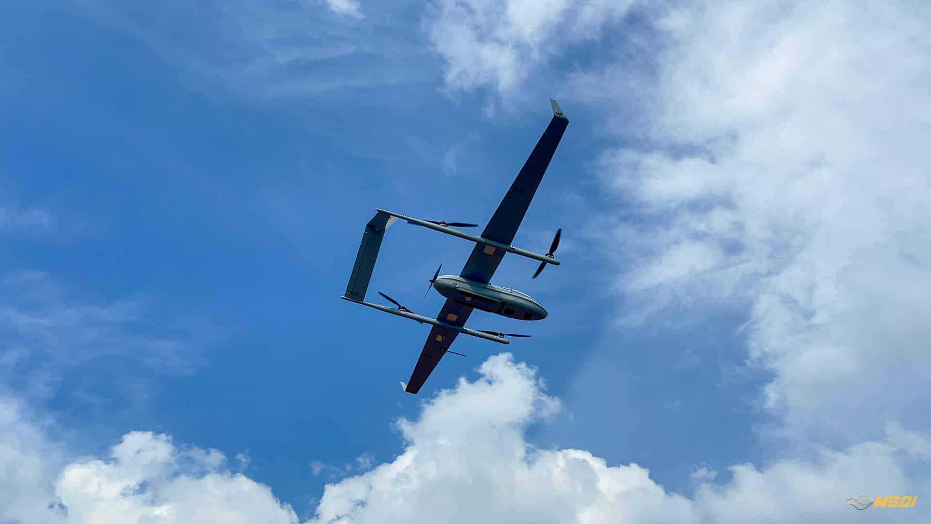
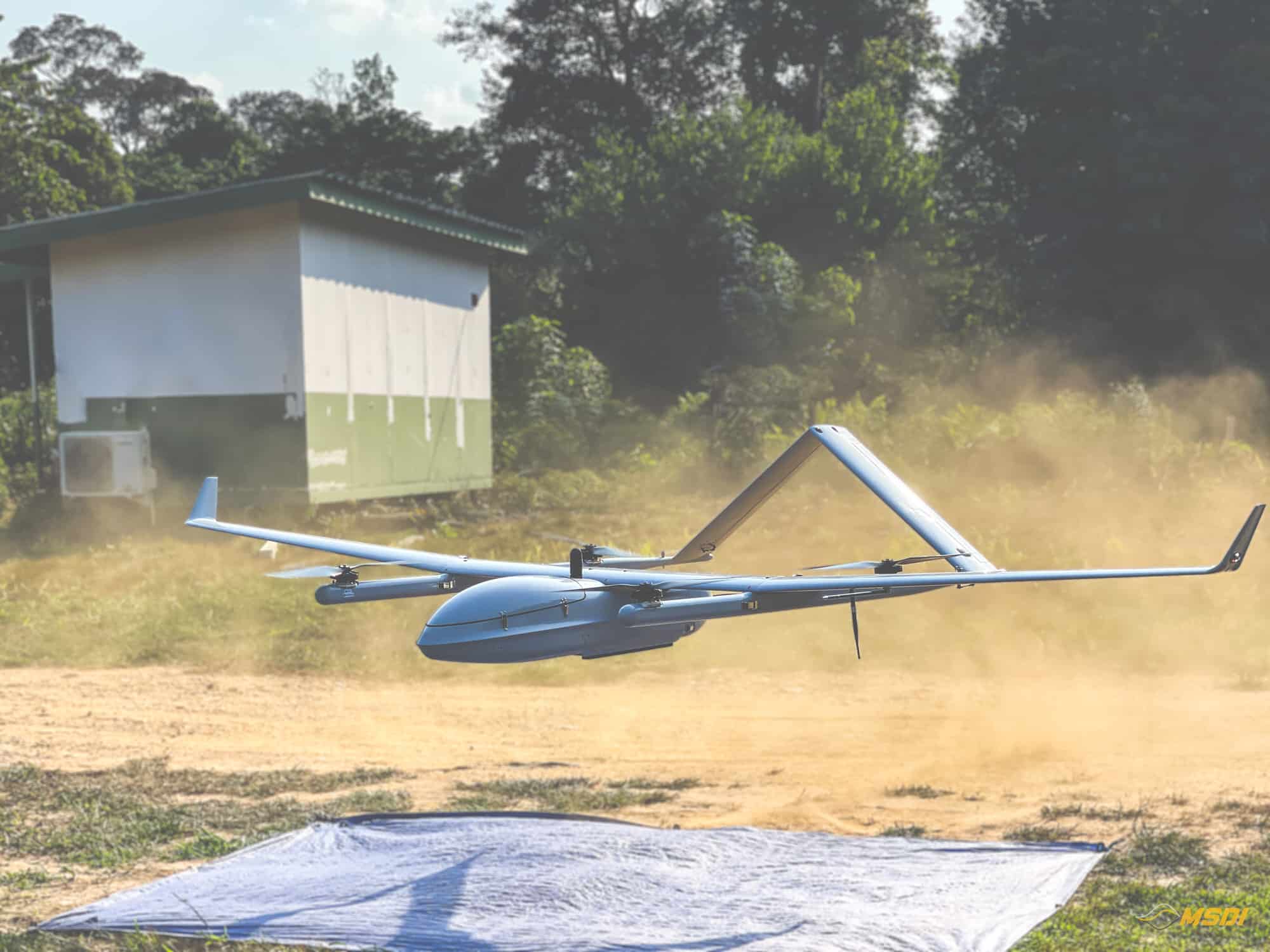
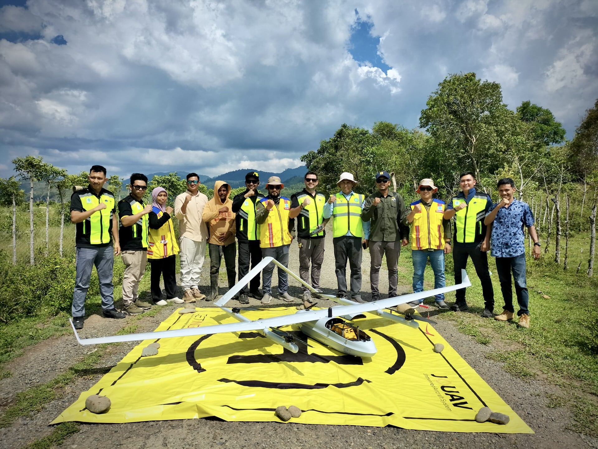
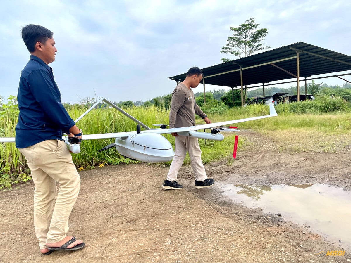
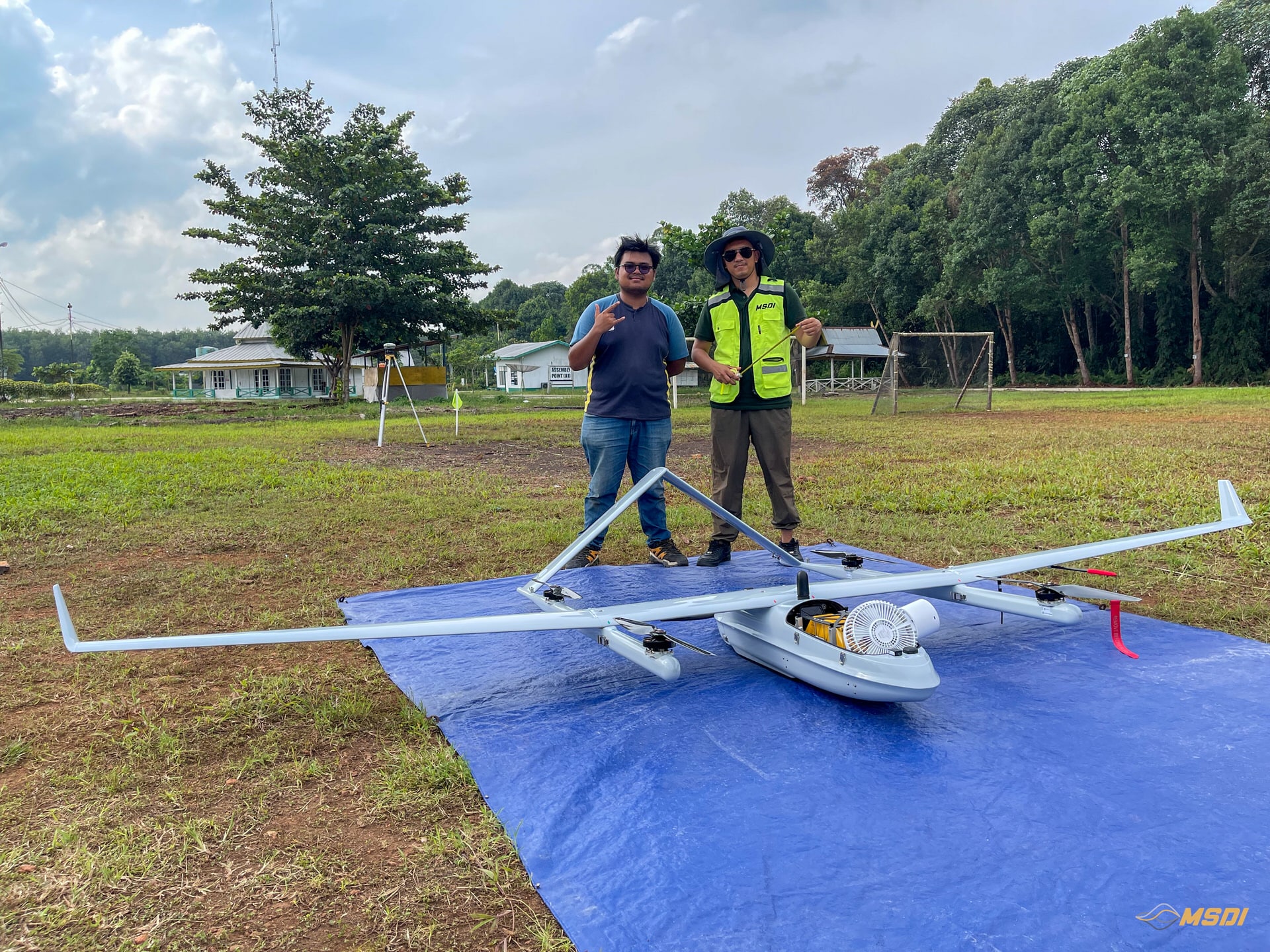
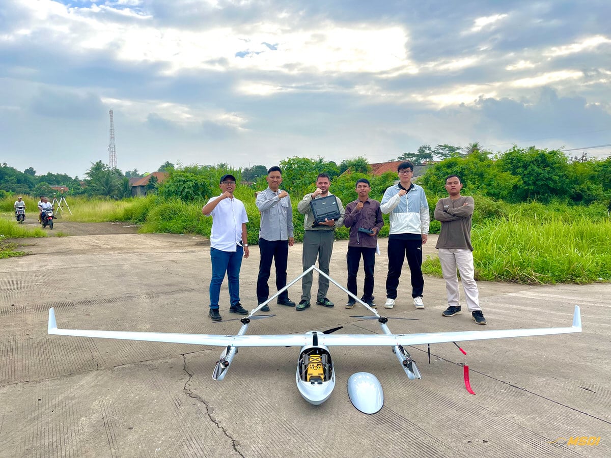
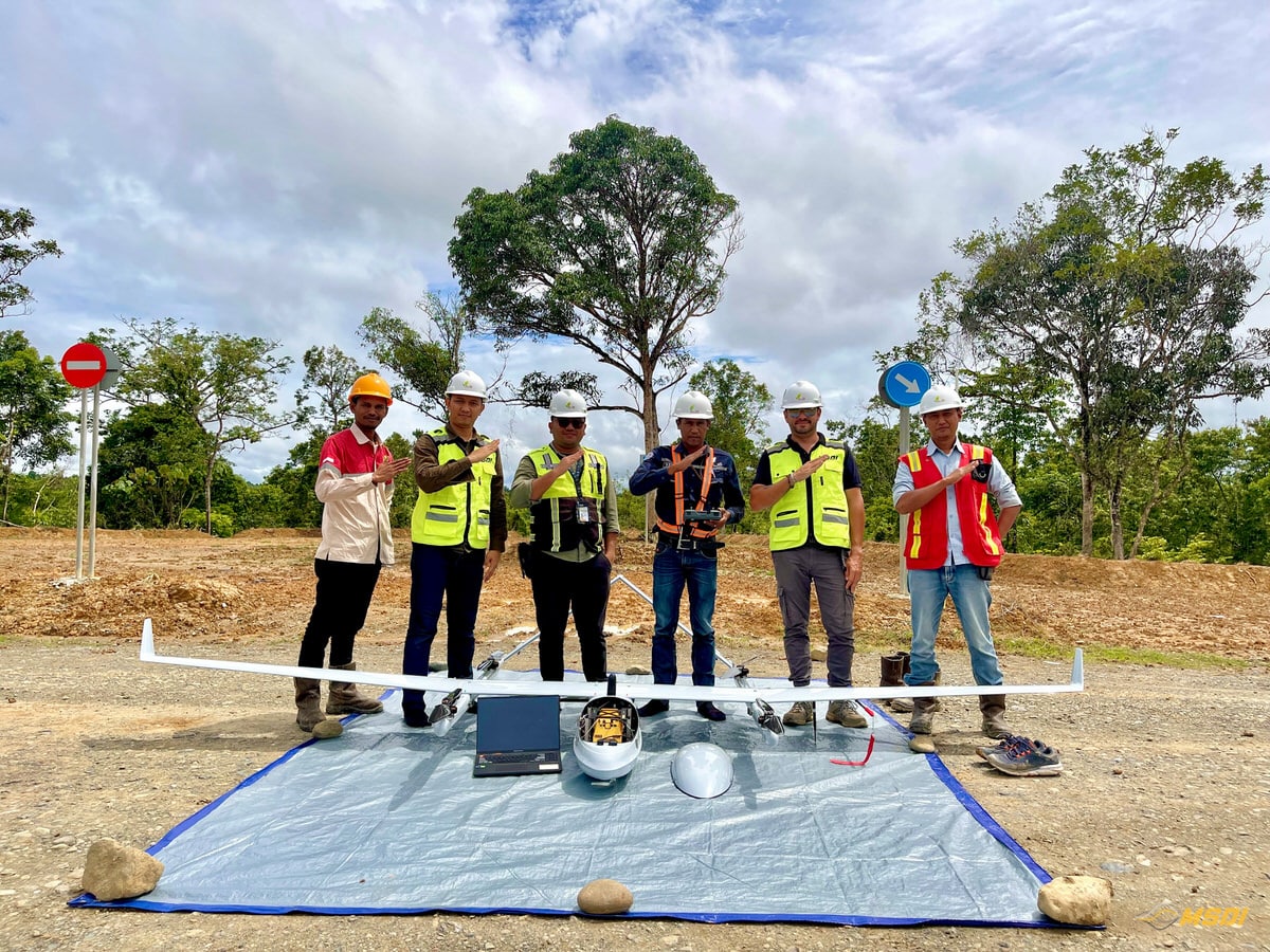
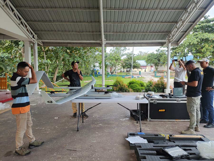
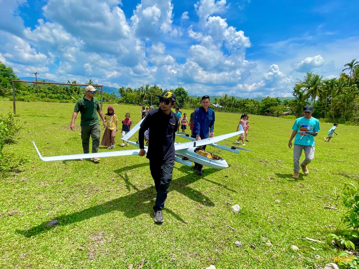
MSDI provides high-end large scale LiDAR survey services using the JOUAV CW-25E VTOL UAV integrated with the YellowScan Voyager LiDAR sensor. This configuration is designed for industrial and regional-scale projects requiring high-density data, deep vegetation penetration, and rapid coverage.
Our VTOL LiDAR system is engineered for:
- Mining and open-pit operations
- Forestry and plantation mapping
- Road, railway, and powerline corridor mapping
- Large land development projects
- Government and regional infrastructure mapping
From remote provinces to cross-border projects such as Timor-Leste, MSDI delivers engineering-ready LiDAR data with speed and precision.
A question ? Need a quote ?
Lidar VTOL : How It Works ?
LIDAR
stands for « light detection and ranging ». It is a surveying method that measures the distance to a target by illuminating the target with pulsed laser light, and measuring the reflected pulses with a sensor. Differences in laser return times and wavelengths can then be used to make digital 3D representations of the targeted surfaces.
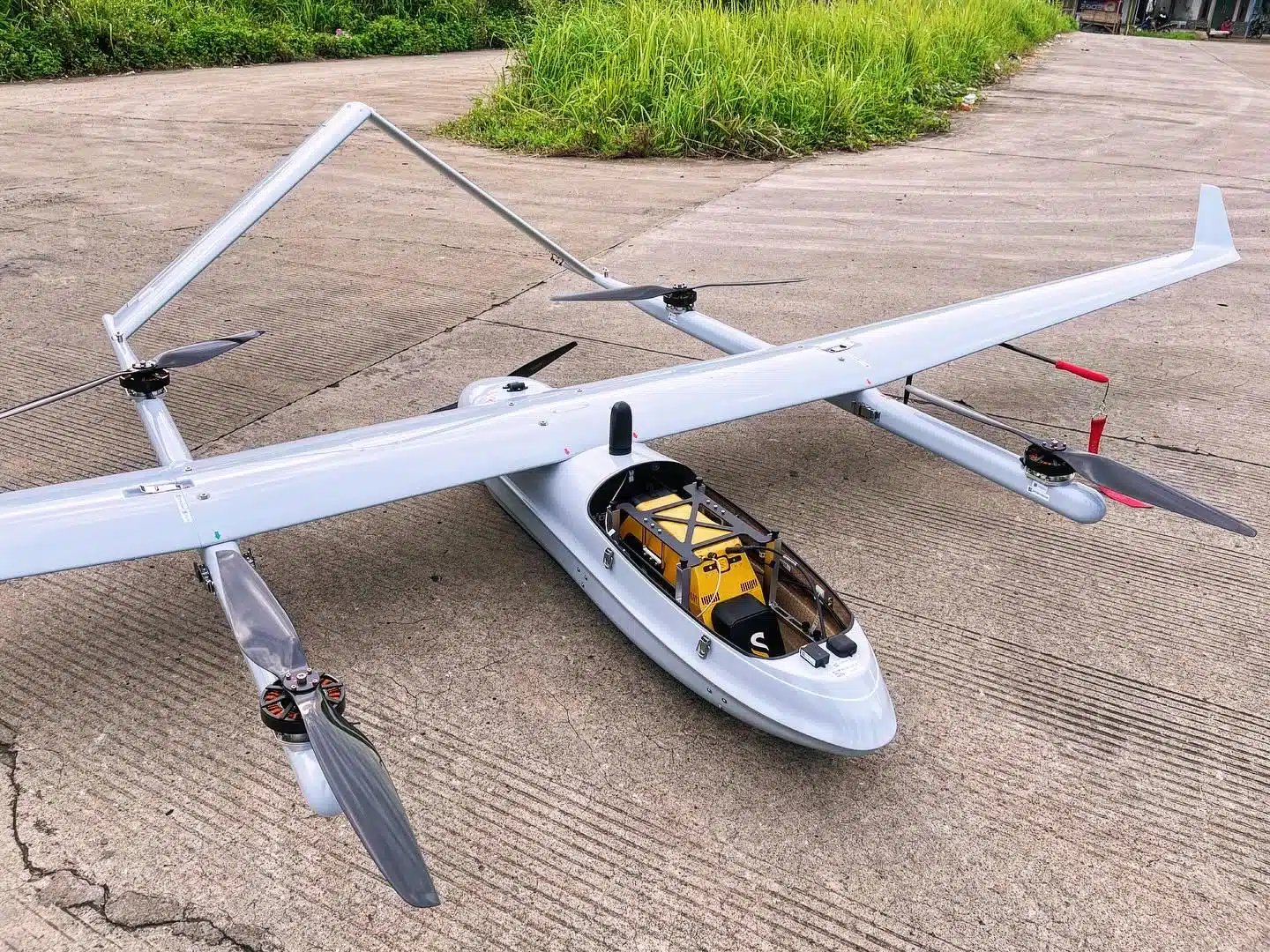
Long-range active laser sensor 750 meters
PPK GPS receiver for centimeter accuracy
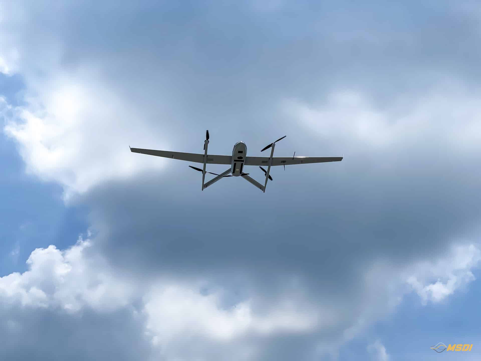
Main propeller for long-endurance horizontal flight
4 propellers for vertical takeoff and landing
4.2-meter wingspan for stability and high wind resistance
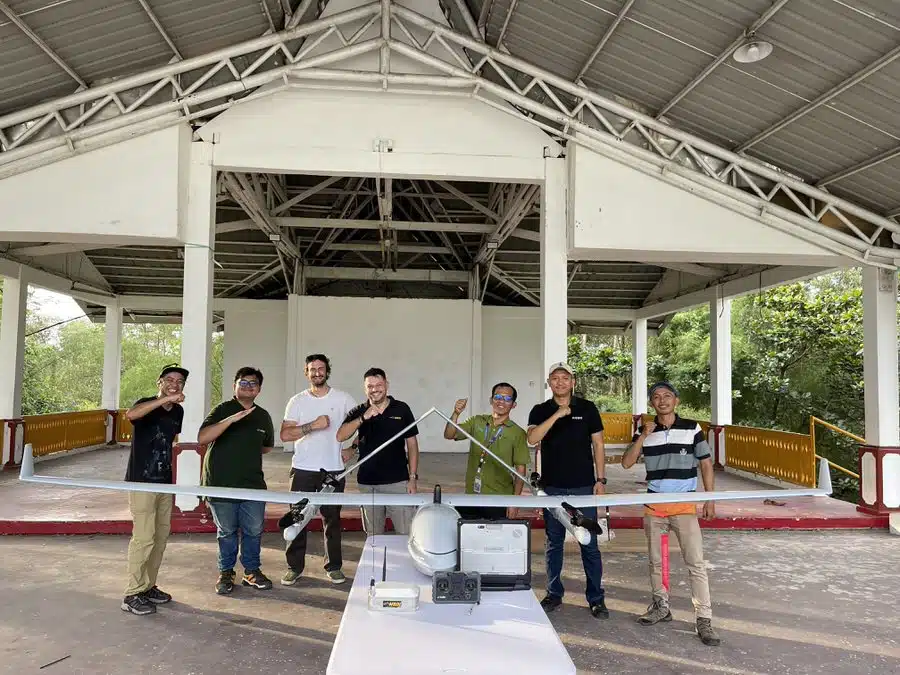
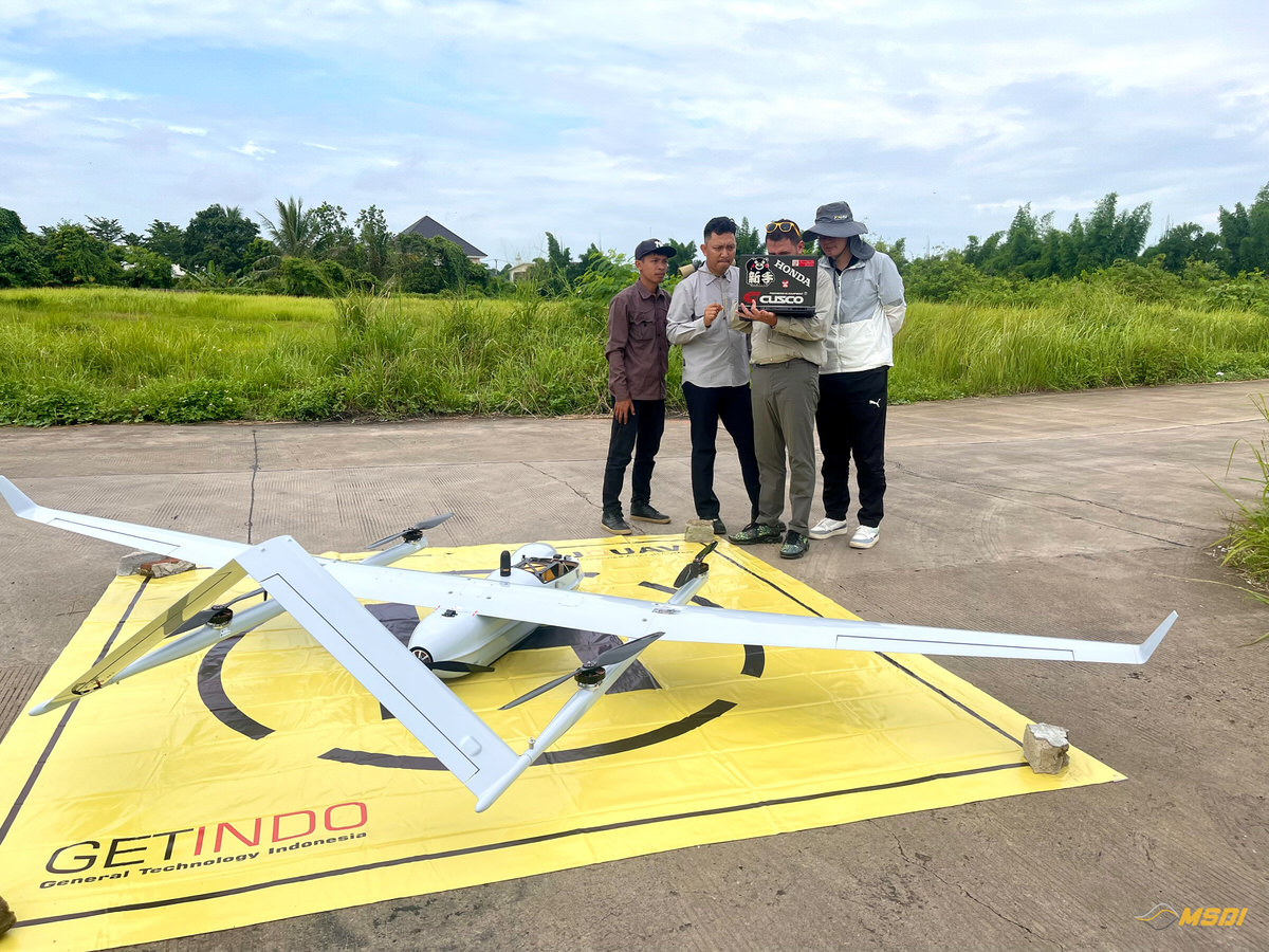
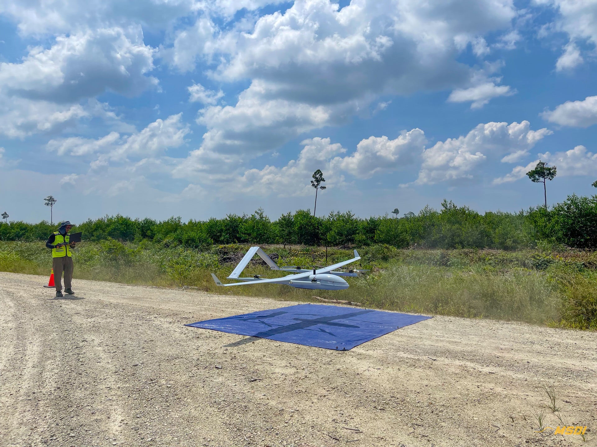
VTOL UAV
JOUAV CW-25E
Up to 4 hours flight time
Can operate in harsh conditions
Terrain following for complex missions
Self-locking propellers
Heated & Drained Pitot Tube
Up to 4’500 hectares / flight (2hours)
ADS-B situational awareness system
Why VTOL LiDAR for Large Scale Projects?
Traditional quadcopters are efficient for small sites. Manned airborne LiDAR is expensive and requires airports and heavy logistics. Our VTOL UAV LiDAR solution bridges the gap.
VTOL LiDAR Advantages:
- Covers up to 4,500 hectares per flight
- Up to 8,000–10,000 hectares per day
- High Density points per meter square : >250pts/m2
- Operates from only 5m x 5m takeoff/landing area
- Requires only 3–4 crew members
- No runway required
- Operates in remote provinces
- Wind tolerance up to 13 m/s
- Cruise speed: 21 m/s
- Maximum LiDAR mission altitude: 400m AGL
This enables high-productivity mapping without the logistical complexity of manned aircraft.
Technical Specifications
JOUAV CW-25E VTOL Platform
- Flight time with LiDAR: Up to 180 minutes
- Flight time without payload: Up to 240 minutes
- Cruise speed: 21 m/s
- Wind tolerance: Up to 13 m/s
- Takeoff/landing area: 5m x 5m
- Continuous operation with 3 battery sets
- Field team: 3–4 professionals
Production capacity:
- >5,000 ha → 1 day
- >20,000 ha → 2–3 days
- 50,000+ ha → feasible with operational planning

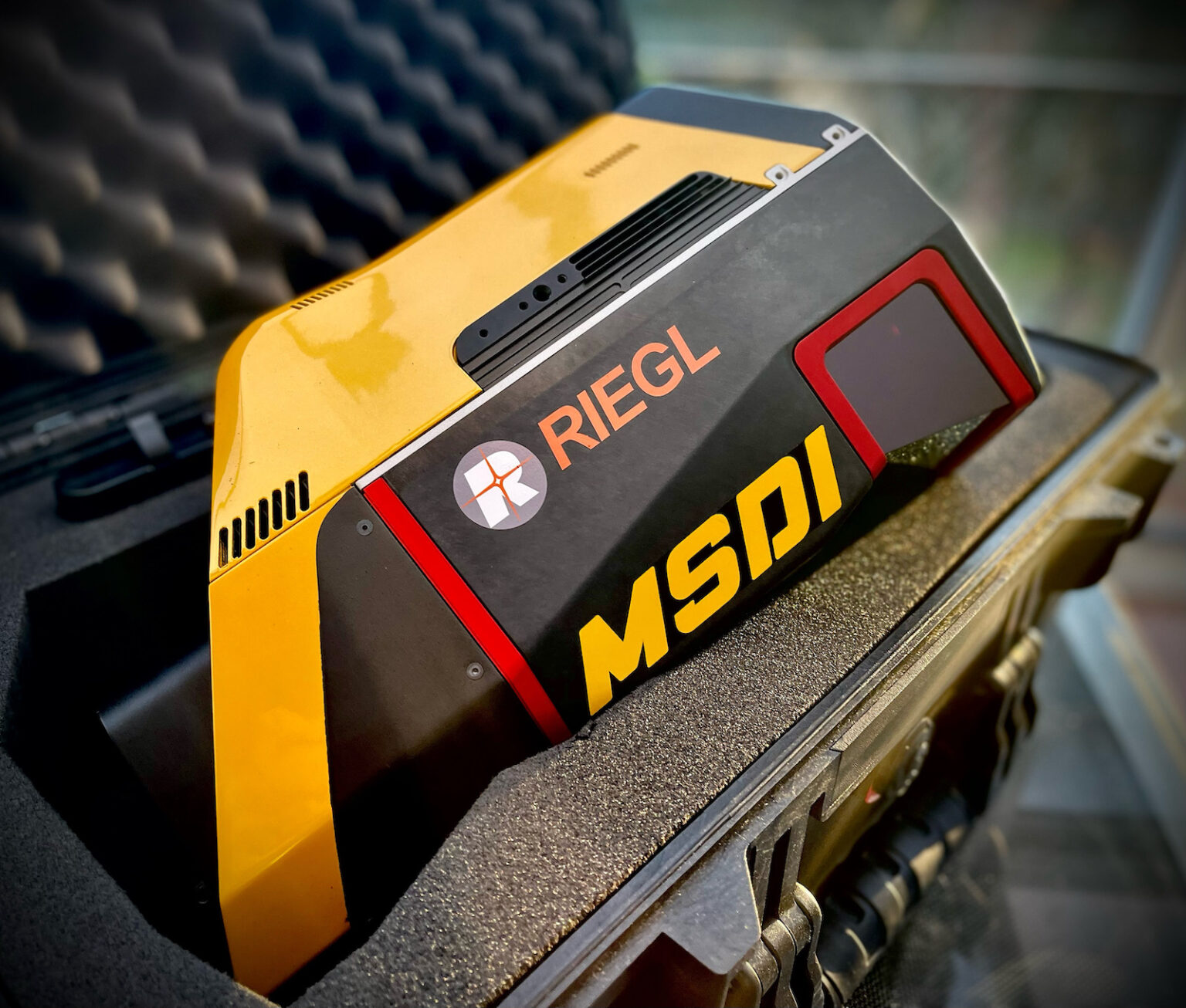
YellowScan Voyager LiDAR Sensor
- Laser Sensor : Riegl VUX-120
- Maximum range: 750 meters
- Pulse repetition rate: Up to 1.8 million points per second
- Accuracy: 10 mm system accuracy
- Precision: 5mm
- GNSS/INS: Applanix APX-20
- Maximum echoes: Up to 15 returns at 600 kHz
- Typical ground accuracy in Indonesia: <3 cm
- Typical density achieved: ~250 pts/m²
High Precision 0,5cm
See through the Vegetation – 15 echos
World Most Advanced technology
Ultra High Points Density 1,8Millions point/s
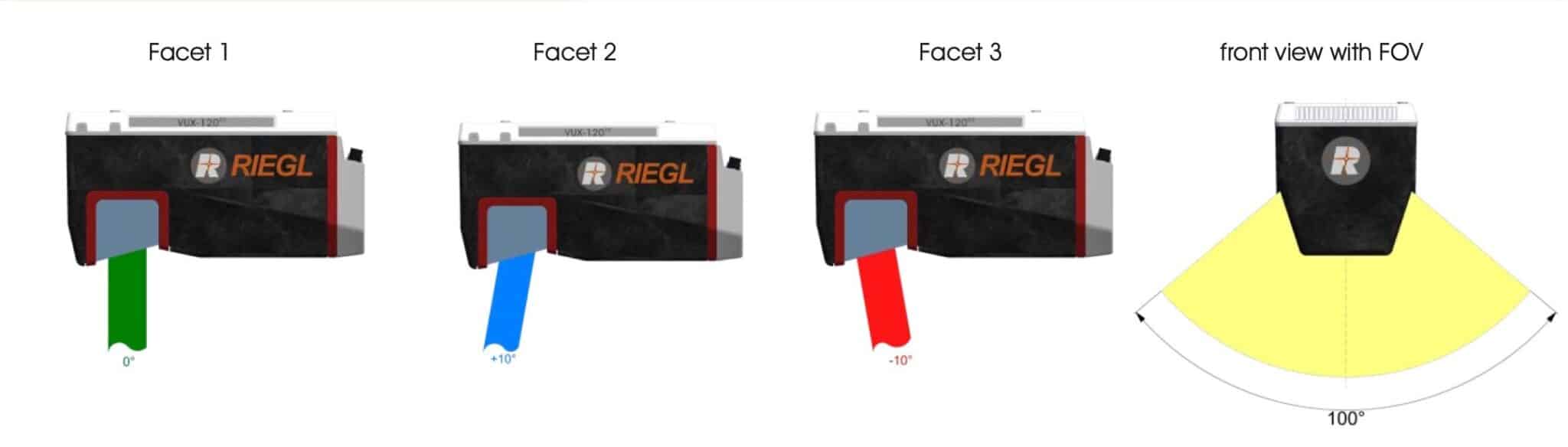
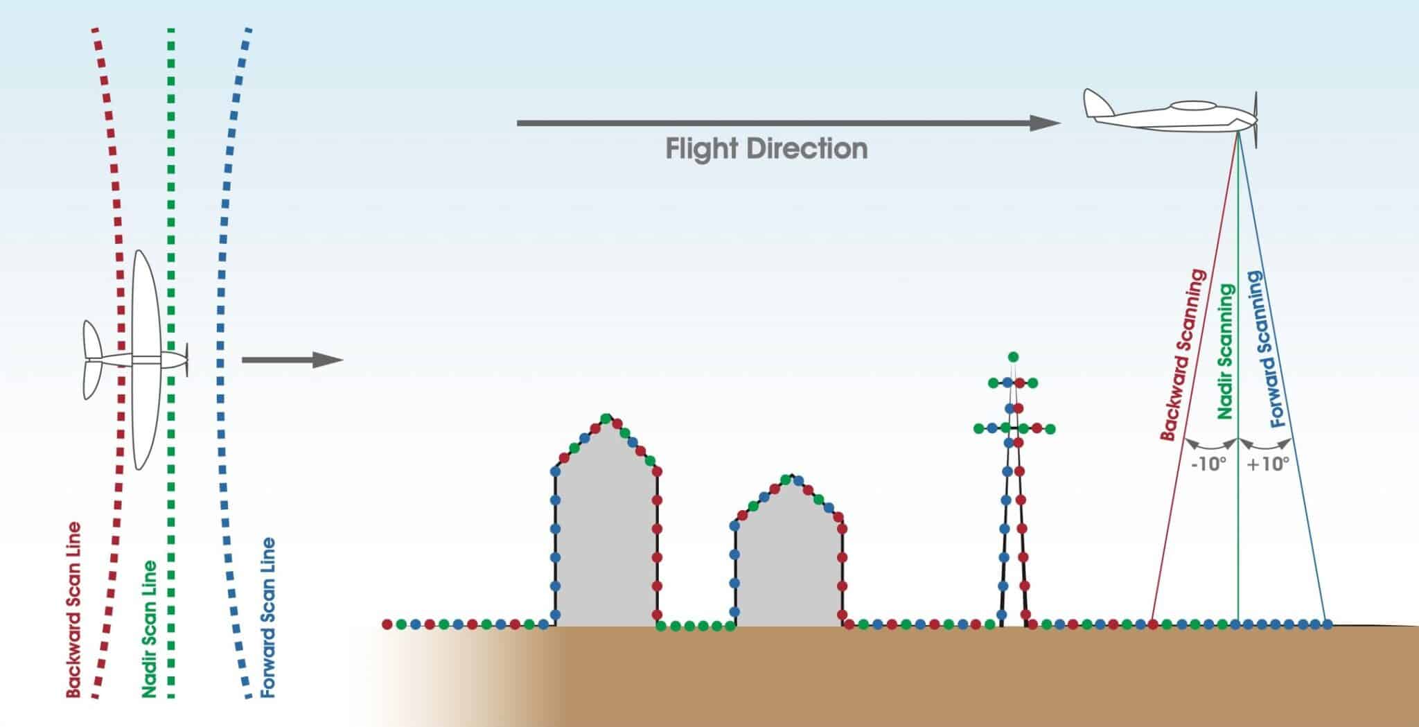
The REGL VUX-120 offers a sophisticated scan pattem consisting of scan lineswith periodically changing directions. The scan directions in the center of thescan lines change consecutively from strictly nadir, to + 10 degrees forwardand to-10 degrees backward. This scan pattern provides an almost complete3D data set, as also vertical surfaces like the facades of buildings and objectske masts and poles are accurately sampled by laser range measuremeIn addition, the nadir direction enables the reliable data acquisition down tothe bottom of narrow canyons.
Point Density Examples:
Flight Altitude | Freq. | Density (per line) | Echo Capability | Speed |
|---|---|---|---|---|
130m AGL | 1800Khz | 231 pts/m² | 5 echoes | 21m/s |
160m AGL | 1200Khz | 125 pts/m² | 8 echoes | 21m/s |
230m AGL | 600Khz | 44 pts/m² | 15 echoes | 21m/s |
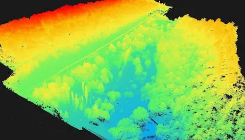
This allows deep vegetation penetration and reliable ground detection in forestry and plantation areas.
A question ? Need a quote ?
Quadcopter vs VTOL vs Airborne LiDAR
Quadcopter LiDAR | MSDI VTOL LiDAR (CW-25E + Voyager) | Airborne LiDAR |
|---|---|---|
Short endurance (20–40 min typical) | Long endurance (180 min) | Not efficient for mid-size projects |
Limited daily coverage | Large coverage per flight | Expensive for regional-scale surveys under 100,000 ha |
Often equipped with short-range or lower-power sensors | High-density data (<250pts/m2) | Low density data (often <10pts/m2) |
Suitable for <1,000 ha | Strong vegetation penetration (up to 15 returns) | Requires runway / airport access |
Requires multiple teams to scale production | Operates in remote areas without runway | High mobilization cost |
Require several take-off points for large projects | Lower mobilization cost than airborne | High immobilisation cost (bad weather) |
Limited range <5km | Higher performance than short-range VTOL LiDAR | Complex flight permits |
Superior Vegetation Penetration
Many VTOL LiDAR providers use short-range or lower-power sensors. These systems often struggle in dense tropical vegetation, resulting in weak ground classification and poor terrain models.
The YellowScan Voyager provides:
- Long range up to 750m
- High pulse rate (1.8M pts/sec)
- Up to 15 echoes
- Reliable ground returns under forest canopy
- Terrain Following
This is essential for:
- Forestry inventory
- Plantation terrain modeling
- Corridor mapping through jungle
- Mining expansion in vegetated areas
Corridor Mapping for Roads & Powerlines
Our VTOL LiDAR system is ideal for:
- Highway and toll road corridor mapping
- Railway alignment surveys
- Powerline corridor mapping
- Pipeline route mapping
High cruise speed combined with long endurance allows efficient linear data acquisition over tens or hundreds of kilometers.
Large Scale Mining & Land Development
For mining operations and large land development:
- Rapid pit expansion mapping
- Volume calculations
- Terrain modeling
- Planning & design input
- Multi-phase monitoring
With up to 10,000 ha/day coverage, large concessions can be mapped in days rather than weeks.
Operational Flexibility in Remote Indonesia
MSDI operates across:
- Kalimantan
- JAVA
- Nusantara
- Bali
- Papua
- Sulawesi
- Sumatra
- Nusa Tenggara
- Timor-Leste
- Maluku
- NTB
- …and all the other parts of Indonesia and South Asia
Our VTOL system requires minimal ground infrastructure and can be deployed in remote provinces efficiently.
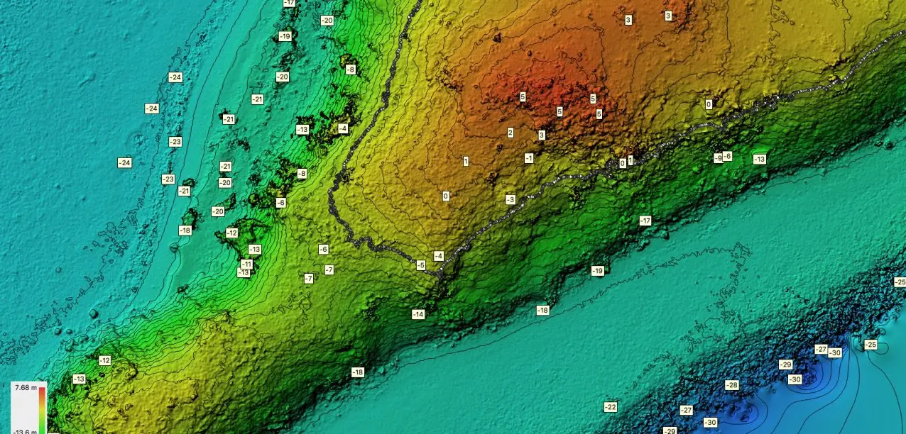
Engineering-Ready Deliverables
Clients receive:
- Classified point cloud (LAS/LAZ)
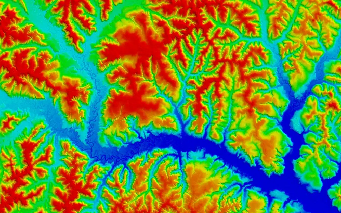
- DTM (Digital Terrain Model)
- DSM (Digital Surface Model)
- Contour maps
- 3D terrain models
- GIS-ready datasets
- Volume calculations (special request)
- 3D digitalization (special request)
Data is compatible with engineering and GIS platforms.
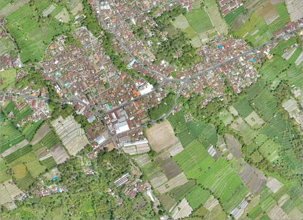
Orthomosaic raster
geoTIFF (.tiff), KML tiles (.png/.kml)
Compatible with
Esri ArcGIS
GlobalMapper
QGIS
Autodesk
DraftSight
GeoMedia
Erdas Imagine
Google Earth
& all leading brands of remote sensing & GIS software
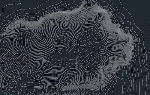
Contours Lines
Shapefile (.shp, .shx), .dxf, .dwg
Compatible with
Esri ArcGIS
GlobalMapper
QGIS
Autodesk
Autocad suite
DraftSight
GeoMedia
Erdas Imagine
& all leading brands GIS software
Point Cloud
.las, .laz, .ply, .ascii
Compatible with
I-Site Studio
Esri ArcGIS
GlobalMapper
Autodesk
Quick Terrain
3DReshaper
Trimble Realworks
Bentley MicroStation
CloudCompare (free)
& all leading brands of survey / 3D scanning software
DSM, DEM, DTM
geoTIFF (.tiff)
Compatible with
Esri ArcGIS
GlobalMapper
QGIS
Quick Terrain
Geomedia
Google Earth
& all leading brands of survey / 3D scanning software
Why Choose MSDI for Large Scale LiDAR?
- Only VTOL + YellowScan Voyager configuration in Indonesia
- High-density LiDAR with deep vegetation penetration
- Industrial-grade GNSS/INS (Applanix APX-20)
- Proven operations in remote environments
- Experienced professional survey team
- Rapid coverage up to 10,000 ha/day
Request a Large Scale LiDAR Proposal
If your project involves:
- >1,000 hectares
- Long corridor mapping
- Dense vegetation terrain
- Remote locations
- High-accuracy engineering requirements
Contact MSDI to discuss your project specifications and receive a tailored technical proposal.
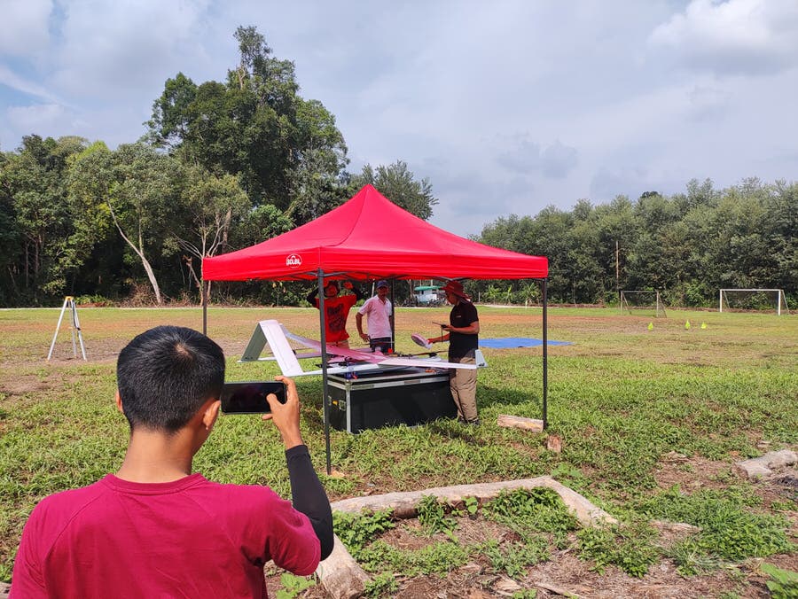
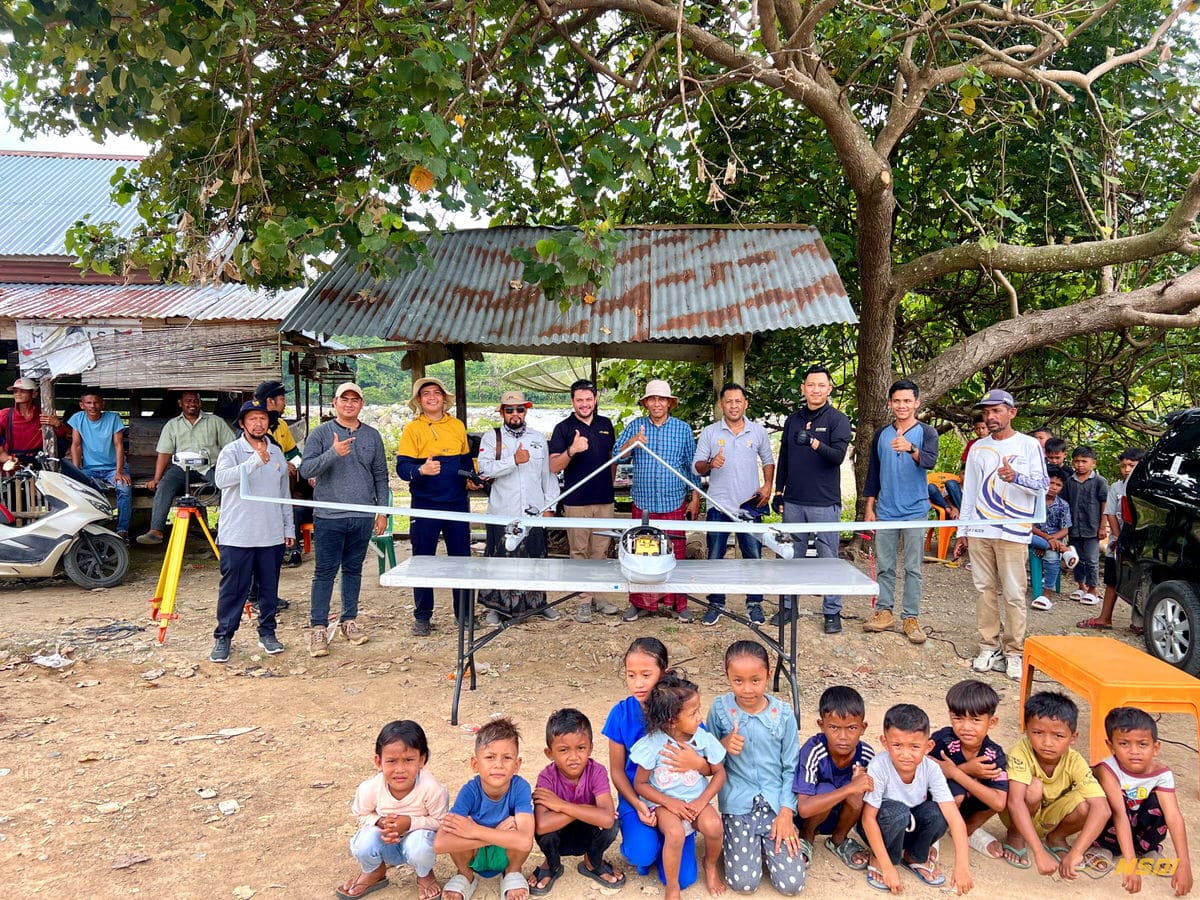
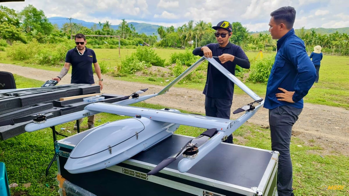
Selected Large-Scale LiDAR Projects Using VTOL Technology